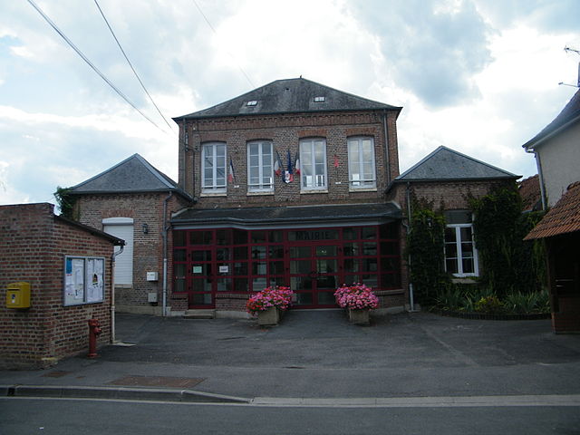
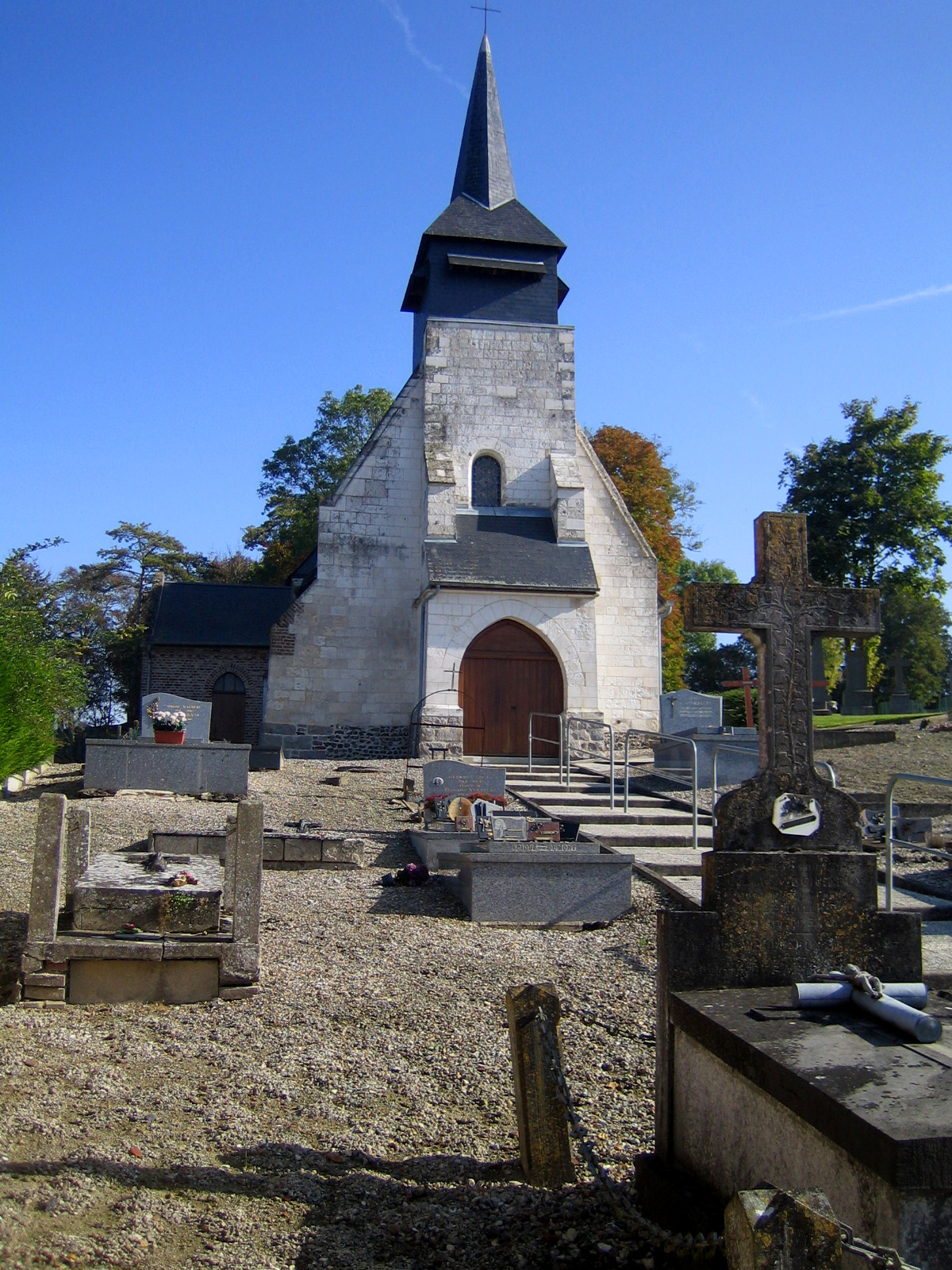
Crouy-Saint-Pierre (Crouy-Saint-Pierre)

- commune in Somme, France
- Country:

- Postal Code: 80310
- Coordinates: 49° 58' 9" N, 2° 5' 15" E


- GPS tracks (wikiloc): [Link]
- AboveSeaLevel: 14 м m
- Area: 10.51 sq km
- Population: 336
- Wikipedia en: wiki(en)
- Wikipedia: wiki(fr)
- Wikidata storage: Wikidata: Q61775
- Wikipedia Commons Category: [Link]
- Freebase ID: [/m/03nn96m]
- GeoNames ID: Alt: [6617733]
- SIREN number: [218002210]
- BnF ID: [152767121]
- Library of Congress authority ID: Alt: [no2017041214]
- PACTOLS thesaurus ID: [pcrtpoIPDuit50]
- INSEE municipality code: 80229
Shares border with regions:


Bourdon
- commune in Somme, France
- Country:
- Postal Code: 80310
- Coordinates: 49° 59' 15" N, 2° 4' 32" E
- GPS tracks (wikiloc): [Link]
- Area: 6.97 sq km
- Population: 403
- Web site: [Link]


Fourdrinoy
- commune in Somme, France
- Country:
- Postal Code: 80310
- Coordinates: 49° 55' 4" N, 2° 6' 23" E
- GPS tracks (wikiloc): [Link]
- Area: 9.12 sq km
- Population: 411


Picquigny
- commune in Somme, France
- Country:
- Postal Code: 80310
- Coordinates: 49° 56' 39" N, 2° 8' 37" E
- GPS tracks (wikiloc): [Link]
- Area: 10.31 sq km
- Population: 1366
- Web site: [Link]

Belloy-sur-Somme
- commune in Somme, France
- Country:
- Postal Code: 80310
- Coordinates: 49° 57' 56" N, 2° 8' 0" E
- GPS tracks (wikiloc): [Link]
- AboveSeaLevel: 30 м m
- Area: 13.24 sq km
- Population: 761
- Web site: [Link]

Yzeux
- commune in Somme, France
- Country:
- Postal Code: 80310
- Coordinates: 49° 58' 29" N, 2° 6' 32" E
- GPS tracks (wikiloc): [Link]
- Area: 5.05 sq km
- Population: 267
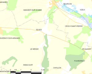
Soues
- commune in Somme, France
- Country:
- Postal Code: 80310
- Coordinates: 49° 57' 25" N, 2° 3' 15" E
- GPS tracks (wikiloc): [Link]
- Area: 8.64 sq km
- Population: 130


Hangest-sur-Somme
- commune in Somme, France
- Country:
- Postal Code: 80310
- Coordinates: 49° 58' 51" N, 2° 3' 55" E
- GPS tracks (wikiloc): [Link]
- Area: 12.46 sq km
- Population: 753