Hangest-sur-Somme (Hangest-sur-Somme)

- commune in Somme, France
- Country:

- Postal Code: 80310
- Coordinates: 49° 58' 51" N, 2° 3' 55" E


- GPS tracks (wikiloc): [Link]
- Area: 12.46 sq km
- Population: 753
- Wikipedia en: wiki(en)
- Wikipedia: wiki(fr)
- Wikidata storage: Wikidata: Q818355
- Wikipedia Commons Category: [Link]
- Freebase ID: [/m/03nxdd9]
- GeoNames ID: Alt: [3013992]
- SIREN number: [218003986]
- BnF ID: [152768965]
- PACTOLS thesaurus ID: [pcrtsMadLy1uOj]
- INSEE municipality code: 80416
Shares border with regions:


Bourdon
- commune in Somme, France
- Country:
- Postal Code: 80310
- Coordinates: 49° 59' 15" N, 2° 4' 32" E
- GPS tracks (wikiloc): [Link]
- Area: 6.97 sq km
- Population: 403
- Web site: [Link]


L'Étoile
- commune in Somme, France
- Country:
- Postal Code: 80830
- Coordinates: 50° 1' 14" N, 2° 2' 45" E
- GPS tracks (wikiloc): [Link]
- Area: 7.9 sq km
- Population: 1253
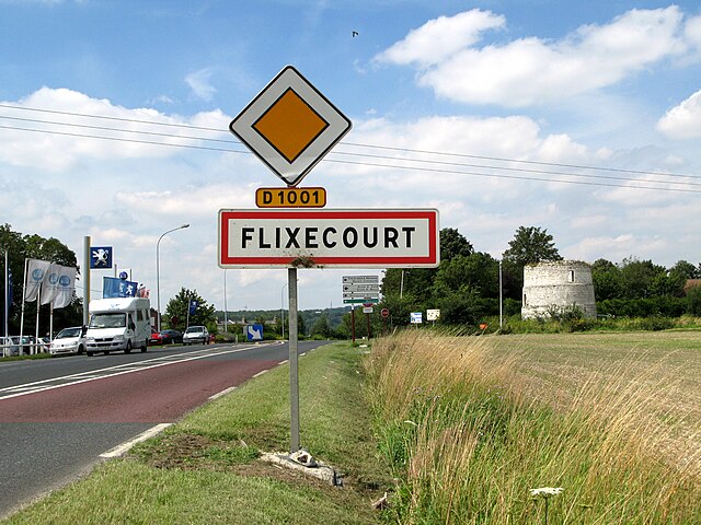

Flixecourt
- commune in Somme, France
- Country:
- Postal Code: 80420
- Coordinates: 50° 0' 46" N, 2° 4' 51" E
- GPS tracks (wikiloc): [Link]
- Area: 11.84 sq km
- Population: 3170
- Web site: [Link]


Airaines
- commune in Somme, France
- Country:
- Postal Code: 80270
- Coordinates: 49° 57' 54" N, 1° 56' 36" E
- GPS tracks (wikiloc): [Link]
- AboveSeaLevel: 49 м m
- Area: 24.88 sq km
- Population: 2369
- Web site: [Link]


Condé-Folie
- commune in Somme, France
- Country:
- Postal Code: 80890
- Coordinates: 50° 0' 35" N, 2° 1' 4" E
- GPS tracks (wikiloc): [Link]
- Area: 10.37 sq km
- Population: 919

Crouy-Saint-Pierre
- commune in Somme, France
- Country:
- Postal Code: 80310
- Coordinates: 49° 58' 9" N, 2° 5' 15" E
- GPS tracks (wikiloc): [Link]
- AboveSeaLevel: 14 м m
- Area: 10.51 sq km
- Population: 336


Quesnoy-sur-Airaines
- commune in Somme, France
- Country:
- Postal Code: 80270
- Coordinates: 49° 57' 22" N, 1° 59' 27" E
- GPS tracks (wikiloc): [Link]
- Area: 16.14 sq km
- Population: 444
- Web site: [Link]
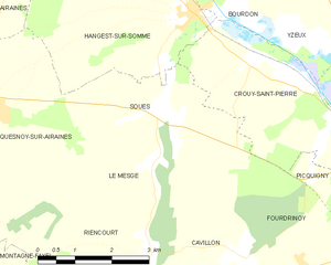
Soues
- commune in Somme, France
- Country:
- Postal Code: 80310
- Coordinates: 49° 57' 25" N, 2° 3' 15" E
- GPS tracks (wikiloc): [Link]
- Area: 8.64 sq km
- Population: 130


Bettencourt-Rivière
- commune in Somme, France
- Country:
- Postal Code: 80270
- Coordinates: 49° 59' 49" N, 1° 58' 38" E
- GPS tracks (wikiloc): [Link]
- Area: 7.38 sq km
- Population: 217