Dettey (Dettey)

- commune in Saône-et-Loire, France
- Country:

- Postal Code: 71190
- Coordinates: 46° 45' 48" N, 4° 10' 58" E


- GPS tracks (wikiloc): [Link]
- Area: 22.5 sq km
- Population: 80
- Wikipedia en: wiki(en)
- Wikipedia: wiki(fr)
- Wikidata storage: Wikidata: Q1422670
- Wikipedia Commons Category: [Link]
- Wikipedia Commons Maps Category: [Link]
- Freebase ID: [/m/03qg0f4]
- Freebase ID: [/m/03qg0f4]
- GeoNames ID: Alt: [6442234]
- GeoNames ID: Alt: [6442234]
- SIREN number: [217101724]
- SIREN number: [217101724]
- BnF ID: [15273145m]
- BnF ID: [15273145m]
- INSEE municipality code: 71172
- INSEE municipality code: 71172
Shares border with regions:

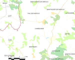
Charbonnat
- commune in Saône-et-Loire, France
- Country:
- Postal Code: 71320
- Coordinates: 46° 47' 20" N, 4° 6' 54" E
- GPS tracks (wikiloc): [Link]
- Area: 22.23 sq km
- Population: 253

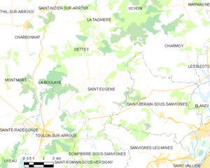
Saint-Eugène
- commune in Saône-et-Loire, France
- Country:
- Postal Code: 71320
- Coordinates: 46° 44' 14" N, 4° 11' 38" E
- GPS tracks (wikiloc): [Link]
- Area: 35.27 sq km
- Population: 142
- Web site: [Link]


Saint-Nizier-sur-Arroux
- commune in Saône-et-Loire, France
- Country:
- Postal Code: 71190
- Coordinates: 46° 48' 16" N, 4° 8' 20" E
- GPS tracks (wikiloc): [Link]
- Area: 10.16 sq km
- Population: 130


La Tagnière
- commune in Saône-et-Loire, France
- Country:
- Postal Code: 71190
- Coordinates: 46° 47' 20" N, 4° 12' 57" E
- GPS tracks (wikiloc): [Link]
- Area: 34.07 sq km
- Population: 238

La Boulaye
- commune in Saône-et-Loire, France
- Country:
- Postal Code: 71320
- Coordinates: 46° 44' 48" N, 4° 7' 41" E
- GPS tracks (wikiloc): [Link]
- Area: 13.86 sq km
- Population: 109