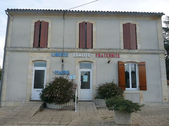
Donnezac (Donnezac)

- commune in Gironde, France
- Country:

- Postal Code: 33860
- Coordinates: 45° 14' 52" N, 0° 26' 36" E


- GPS tracks (wikiloc): [Link]
- Area: 35.75 sq km
- Population: 892
- Wikipedia en: wiki(en)
- Wikipedia: wiki(fr)
- Wikidata storage: Wikidata: Q861749
- Wikipedia Commons Category: [Link]
- Freebase ID: [/m/03nrz0s]
- GeoNames ID: Alt: [6432212]
- SIREN number: [213301518]
- BnF ID: [152562038]
- INSEE municipality code: 33151
Shares border with regions:
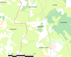
Corignac
- commune in Charente-Maritime, France
- Country:
- Postal Code: 17130
- Coordinates: 45° 14' 54" N, 0° 23' 29" E
- GPS tracks (wikiloc): [Link]
- Area: 11.57 sq km
- Population: 374


Bussac-Forêt
- commune in Charente-Maritime, France
- Country:
- Postal Code: 17210
- Coordinates: 45° 12' 45" N, 0° 22' 11" E
- GPS tracks (wikiloc): [Link]
- Area: 34.78 sq km
- Population: 1011
- Web site: [Link]

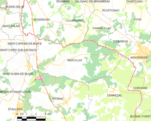
Marcillac
- commune in Gironde, France
- Country:
- Postal Code: 33860
- Coordinates: 45° 16' 8" N, 0° 31' 22" E
- GPS tracks (wikiloc): [Link]
- Area: 32.23 sq km
- Population: 1163
- Web site: [Link]


Saint-Savin
- commune in Gironde, France
- Country:
- Postal Code: 33920
- Coordinates: 45° 8' 19" N, 0° 26' 55" E
- GPS tracks (wikiloc): [Link]
- AboveSeaLevel: 95 м m
- Area: 33.87 sq km
- Population: 3179

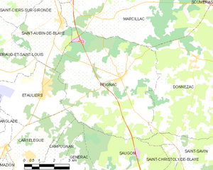
Reignac
- commune in Gironde, France
- Country:
- Postal Code: 33860
- Coordinates: 45° 14' 2" N, 0° 30' 26" E
- GPS tracks (wikiloc): [Link]
- Area: 37.43 sq km
- Population: 1525


Montendre
- commune in Charente-Maritime, France
- Country:
- Postal Code: 17130
- Coordinates: 45° 17' 5" N, 0° 24' 27" E
- GPS tracks (wikiloc): [Link]
- Area: 25.06 sq km
- Population: 3210
- Web site: [Link]