Eancé (Eancé)

- commune in Ille-et-Vilaine, France
- Country:

- Postal Code: 35640
- Coordinates: 47° 49' 19" N, 1° 14' 34" E


- GPS tracks (wikiloc): [Link]
- Area: 16.5 sq km
- Population: 405
- Web site: http://mairie-eance.fr/
- Wikipedia en: wiki(en)
- Wikipedia: wiki(fr)
- Wikidata storage: Wikidata: Q1074775
- Wikipedia Commons Category: [Link]
- Freebase ID: [/m/03mdwrv]
- Freebase ID: [/m/03mdwrv]
- GeoNames ID: Alt: [6613889]
- GeoNames ID: Alt: [6613889]
- SIREN number: [213501034]
- SIREN number: [213501034]
- BnF ID: [15257047k]
- BnF ID: [15257047k]
- OSM relation ID: [111056]
- OSM relation ID: [111056]
- INSEE municipality code: 35103
- INSEE municipality code: 35103
Shares border with regions:


Chelun
- commune in Ille-et-Vilaine, France
- Country:
- Postal Code: 35640
- Coordinates: 47° 51' 18" N, 1° 13' 27" E
- GPS tracks (wikiloc): [Link]
- Area: 11.25 sq km
- Population: 348
- Web site: [Link]
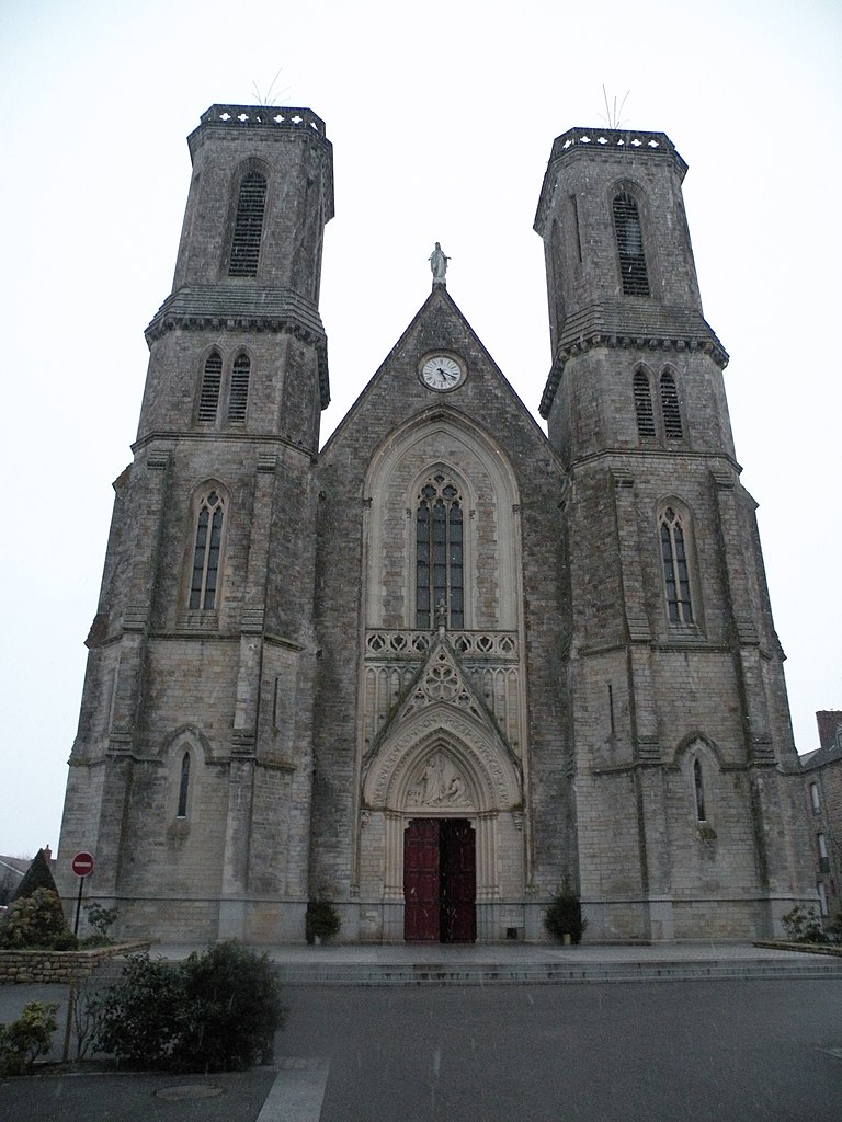

Martigné-Ferchaud
- commune in Ille-et-Vilaine, France
- Country:
- Postal Code: 35640
- Coordinates: 47° 49' 40" N, 1° 19' 6" E
- GPS tracks (wikiloc): [Link]
- Area: 74.1 sq km
- Population: 2605
- Web site: [Link]

Pouancé
- former commune in Maine-et-Loire, France
- Country:
- Postal Code: 49420
- Coordinates: 47° 44' 30" N, 1° 10' 25" E
- GPS tracks (wikiloc): [Link]
- Area: 48.97 sq km
- Population: 3031
- Web site: [Link]

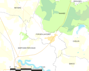
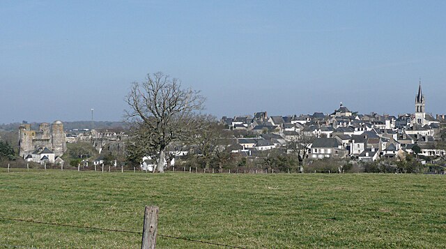
Forges-la-Forêt
- commune in Ille-et-Vilaine, France
- Country:
- Postal Code: 35640
- Coordinates: 47° 51' 34" N, 1° 16' 53" E
- GPS tracks (wikiloc): [Link]
- Area: 6.04 sq km
- Population: 271


Senonnes
- commune in Mayenne, France
- Country:
- Postal Code: 53390
- Coordinates: 47° 47' 56" N, 1° 12' 9" E
- GPS tracks (wikiloc): [Link]
- Area: 13.13 sq km
- Population: 342


La Rouaudière
- commune in Mayenne, France
- Country:
- Postal Code: 53390
- Coordinates: 47° 49' 48" N, 1° 11' 31" E
- GPS tracks (wikiloc): [Link]
- Area: 19.02 sq km
- Population: 330