Eimsbüttel (Bezirk Eimsbüttel)

- borough of Hamburg, Germany
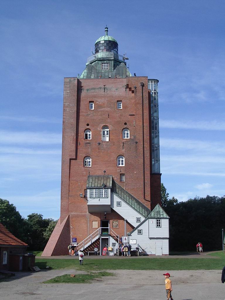
 Hiking in Eimsbüttel
Eimsbüttel is a vibrant district in Hamburg, Germany, known more for its urban scenery than traditional hiking. However, while it may not offer expansive wilderness trails, there are plenty of opportunities for urban hiking and enjoying nature within the city environment.
Urban Hiking in Eimsbüttel
-
Parks and Green Spaces:
- Sternpark: A lovely park featuring walking paths, a pond, and plenty of green space for leisurely strolls.
- Lokstedter Weg: A pathway that runs through green areas, ideal for a relaxed hike.
- Schwarzmoorpark: A small park that offers a peaceful atmosphere with walking paths.
-
Historical Walks:
- Explore Eimsbüttel's architectural highlights, including traditional brick buildings and modern structures. This can be combined with a nature walk as you move between different parks and historical sites.
-
Nearby Nature:
- While Eimsbüttel itself is urban, you can venture out to nearby areas such as the Alster River for scenic lakeside walks or venture into the larger parks like Stadtpark or Planten un Blomen for more extensive hiking experiences.
-
Café Stops:
- Along your hiking route, you can find numerous cafés and restaurants to rest and refresh.
Hiking Preparation:
- Footwear: Since this is more urban hiking, comfortable walking shoes should suffice.
- Hydration: Always carry water, especially if you're planning to hike during warmer months.
- Weather: Check the weather before you head out, as rain can affect the comfort of your hike.
Tips for Urban Hiking:
- Stay aware of your surroundings, especially as you navigate busy streets.
- Consider following a walking map or using a hiking app to ensure you're hitting the trails and parks you desire.
- Group hikes can enhance the experience, so consider inviting friends or joining local walking groups.
While Eimsbüttel may not be a traditional hiking destination, it certainly offers a unique experience for urban hikers looking to enjoy some fresh air and green spaces amidst the city’s charm. Enjoy your exploration!
- Country:

- Coordinates: 53° 34' 28" N, 9° 57' 34" E


- GPS tracks (wikiloc): [Link]
- AboveSeaLevel: 15 м m
- Area: 50.1 sq km
- Population: 258865
- Wikipedia en: wiki(en)
- Wikipedia: wiki(de)
- Wikidata storage: Wikidata: Q1632
- Wikipedia Commons Category: [Link]
- Freebase ID: [/m/0c2m2n]
- GeoNames ID: Alt: [2911293]
- OSM relation ID: [30243]
- archINFORM location ID: [44665]
Includes regions:
Hoheluft-West
- quarter in Hamburg, Germany
Hiking in Hoheluft-West
Hoheluft-West is a district located in Hamburg, Germany, known more for its residential areas, parks, and urban environment rather than extensive hiking trails typical of more rural or mountainous regions. However, there are still opportunities for enjoyable outdoor walks and urban hikes in and around the area. Here are some aspects to consider if you're looking to hike or walk in Hoheluft-West:...
- Country:
- Coordinates: 53° 35' 2" N, 9° 58' 9" E
- GPS tracks (wikiloc): [Link]
- AboveSeaLevel: 83 м m
- Web site: [Link]


Eidelstedt
- quarter in Hamburg, Germany
Hiking in Eidelstedt
Eidelstedt is a district in Hamburg, Germany, known more for its residential areas than extensive hiking trails. While there aren’t typical long-distance hiking paths like you might find in more rural areas, there are still opportunities for walking and enjoying nature in and around the area....
- Country:
- Coordinates: 53° 36' 25" N, 9° 54' 19" E
- GPS tracks (wikiloc): [Link]
- AboveSeaLevel: 21 м m
- Area: 8.7 sq km


Eimsbüttel
- quarter in the Eimsbüttel borough of Hamburg, Germany
Hiking in Eimsbüttel
Eimsbüttel is a vibrant district in Hamburg, Germany, known for its green spaces, parks, and urban atmosphere. While it's not traditionally known as a hiking destination in the same way that more rural areas are, it does offer several opportunities for walking and enjoying the outdoors. Here are some highlights for those looking to hike or explore in Eimsbüttel:...
- Country:
- Coordinates: 53° 34' 33" N, 9° 57' 7" E
- GPS tracks (wikiloc): [Link]
- Area: 3.2 sq km


Harvestehude
- quarter in Hamburg, Germany
Hiking in Harvestehude
Harvestehude is a beautiful and affluent district in Hamburg, Germany, known for its picturesque streets, historic villas, and proximity to green spaces and waterways. While it may not be a traditional hiking destination, there are definitely opportunities for walking and enjoying nature in and around the area. Here are some suggestions for exploring Harvestehude:...
- Country:
- Coordinates: 53° 34' 40" N, 9° 59' 20" E
- GPS tracks (wikiloc): [Link]
- Area: 2.0 sq km


Niendorf
- quarter in Hamburg, Germany
Hiking in Niendorf
Hiking in Niendorf, a district of Hamburg, offers a unique blend of urban and natural experiences. While Niendorf itself is primarily a residential area, there are several green spaces and parks that make for enjoyable day hikes....
- Country:
- Coordinates: 53° 37' 4" N, 9° 57' 1" E
- GPS tracks (wikiloc): [Link]
- AboveSeaLevel: 21 м m
- Area: 12.7 sq km
- Population: 39690


Rotherbaum
- quarter of Eimsbüttel, a borough of Hamburg, Germany
Hiking in Rotherbaum
Rotherbaum is a district in Hamburg, Germany, known more for its urban environment than hiking trails. However, if you're looking for outdoor activities and green spaces, there are some options nearby....
- Country:
- Coordinates: 53° 34' 5" N, 9° 59' 18" E
- GPS tracks (wikiloc): [Link]
- AboveSeaLevel: 19 м m
- Area: 2.9 sq km
Schnelsen
- borough of Hamburg, Germany
Hiking in Schnelsen
Schnelsen is a district in the northern part of Hamburg, Germany. While it may not be widely known for extensive hiking trails, there are still opportunities for outdoor activities and nature walks in and around the area....
- Country:
- Coordinates: 53° 38' 0" N, 9° 55' 0" E
- GPS tracks (wikiloc): [Link]
- Area: 9.0 sq km


Stellingen
- quarter of Hamburg, Germany
Hiking in Stellingen
Hamburg-Stellingen is a neighborhood in the city of Hamburg, Germany. While it may not be known for traditional hiking trails like those found in more rural or mountainous areas, there are still enjoyable walking and outdoor activities to explore....
- Country:
- Coordinates: 53° 35' 32" N, 9° 55' 43" E
- GPS tracks (wikiloc): [Link]
- Area: 5.8 sq km
Shares border with regions:

Hamburg-Mitte
- district of Hamburg, Germany
Hiking in Hamburg-Mitte
Hiking in Hamburg-Mitte offers a unique blend of urban exploration, historical sites, and beautiful green spaces. While the area is predominantly urban, there are several parks and nature areas where you can enjoy some fresh air and scenic views. Here are a few highlights and suggestions for hiking and outdoor activities in Hamburg-Mitte:...
- Country:
- Coordinates: 53° 33' 1" N, 9° 59' 39" E
- GPS tracks (wikiloc): [Link]
- AboveSeaLevel: 11 м m
- Area: 142.2 sq km
- Population: 301550


Hamburg-Nord
- borough of Hamburg, Germany
Hiking in Hamburg-Nord
Hamburg-Nord, a district of Hamburg, Germany, offers several outdoor activities and green spaces suitable for hiking. While it might not have the extensive mountain trails found in more rural areas, there are still numerous paths and parks to explore, making it a pleasant area for walks and light hiking....
- Country:
- Coordinates: 53° 37' 0" N, 10° 0' 0" E
- GPS tracks (wikiloc): [Link]
- AboveSeaLevel: 11 м m
- Area: 57.5 sq km
- Web site: [Link]


Altona
- borough of Hamburg, Germany
Hiking in Altona
Altona, located in Hamburg, Germany, is a vibrant district that offers various opportunities for outdoor activities, including hiking. While Altona itself is more urban, there are several nearby parks, waterfront areas, and routes that can provide enjoyable walking and hiking experiences. Here are some highlights for hikers in and around Altona:...
- Country:
- Coordinates: 53° 33' 0" N, 9° 56' 0" E
- GPS tracks (wikiloc): [Link]
- AboveSeaLevel: 34 м m
- Area: 78.3 sq km
- Population: 261213
- Web site: [Link]
Segeberg
- district in Germany
Hiking in Segeberg
Segeberg, located in Schleswig-Holstein, Germany, offers a variety of hiking opportunities amidst its beautiful natural landscapes. The area is renowned for its rolling hills, dense forests, and picturesque lakes, making it a great destination for outdoor enthusiasts....
- Country:
- Licence Plate Code: SE
- Coordinates: 53° 55' 12" N, 10° 10' 12" E
- GPS tracks (wikiloc): [Link]
- AboveSeaLevel: 37 м m
- Area: 1344.39 sq km
- Population: 272235
- Web site: [Link]


Pinneberg
- German district
Hiking in Pinneberg
Pinneberg is a district in northern Germany, located just to the west of Hamburg. The region offers some charming hiking experiences, although it may not be as rugged or well-known as other parts of Germany such as the Bavarian Alps or the Black Forest. Here are some aspects of hiking in the Pinneberg district:...
- Country:
- Licence Plate Code: PI
- Coordinates: 53° 45' 0" N, 9° 45' 0" E
- GPS tracks (wikiloc): [Link]
- AboveSeaLevel: 8 м m
- Web site: [Link]