Elliant (Elliant)

- commune in Finistère, France
- Country:

- Postal Code: 29370
- Coordinates: 47° 59' 42" N, 3° 53' 24" E


- GPS tracks (wikiloc): [Link]
- Area: 70.3 sq km
- Population: 3175
- Web site: http://www.elliant.fr
- Wikipedia en: wiki(en)
- Wikipedia: wiki(fr)
- Wikidata storage: Wikidata: Q225692
- Wikipedia Commons Gallery: [Link]
- Wikipedia Commons Category: [Link]
- Freebase ID: [/m/02q7bx1]
- Freebase ID: [/m/02q7bx1]
- GeoNames ID: Alt: [6448069]
- GeoNames ID: Alt: [6448069]
- SIREN number: [212900492]
- SIREN number: [212900492]
- BnF ID: [15254404p]
- BnF ID: [15254404p]
- VIAF ID: Alt: [245798547]
- VIAF ID: Alt: [245798547]
- PACTOLS thesaurus ID: [pcrtNirbQY80p3]
- PACTOLS thesaurus ID: [pcrtNirbQY80p3]
- INSEE municipality code: 29049
- INSEE municipality code: 29049
Shares border with regions:


Saint-Yvi
- commune in Finistère, France
- Country:
- Postal Code: 29140
- Coordinates: 47° 58' 3" N, 3° 56' 5" E
- GPS tracks (wikiloc): [Link]
- Area: 27.05 sq km
- Population: 3057
- Web site: [Link]


Coray
- commune in Finistère, France
- Country:
- Postal Code: 29370
- Coordinates: 48° 3' 40" N, 3° 49' 47" E
- GPS tracks (wikiloc): [Link]
- Area: 31.36 sq km
- Population: 1910
- Web site: [Link]
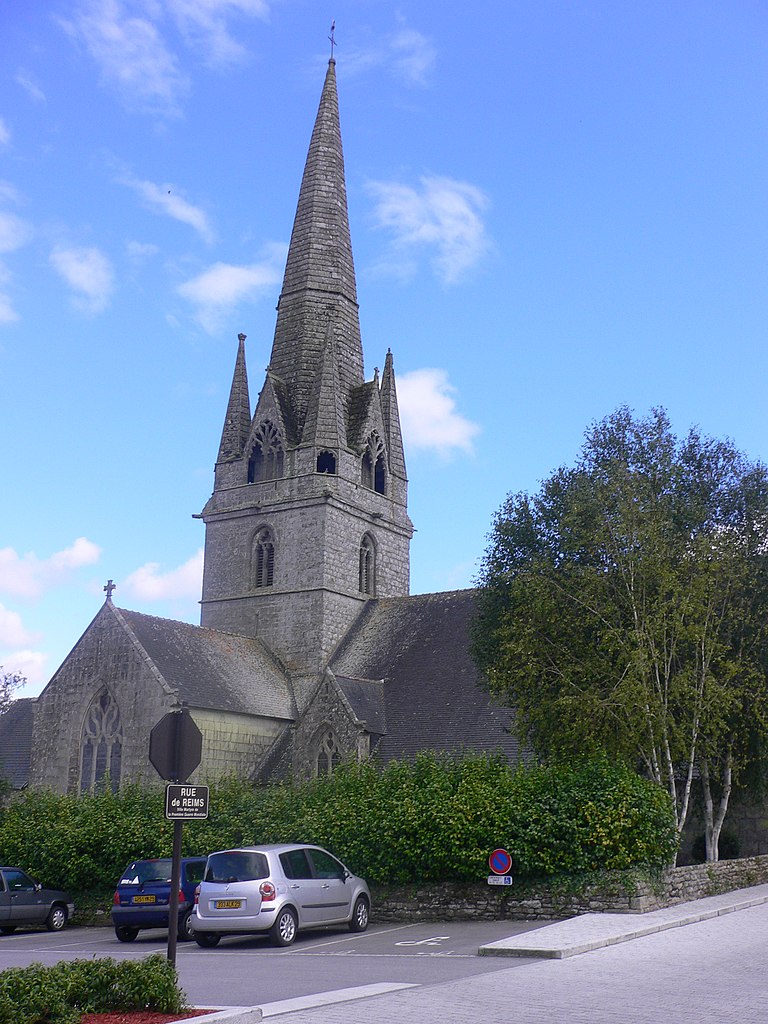
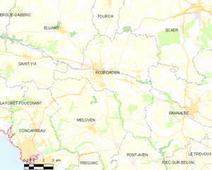
Rosporden
- commune in Finistère, France
- Country:
- Postal Code: 29140
- Coordinates: 47° 57' 38" N, 3° 50' 5" E
- GPS tracks (wikiloc): [Link]
- Area: 57.37 sq km
- Population: 7608
- Web site: [Link]


Langolen
- commune in Finistère, France
- Country:
- Postal Code: 29510
- Coordinates: 48° 4' 1" N, 3° 54' 46" E
- GPS tracks (wikiloc): [Link]
- Area: 16.92 sq km
- Population: 868
- Web site: [Link]


Landudal
- commune in Finistère, France
- Country:
- Postal Code: 29510
- Coordinates: 48° 3' 46" N, 3° 58' 42" E
- GPS tracks (wikiloc): [Link]
- Area: 16.69 sq km
- Population: 879
- Web site: [Link]


Tourch
- commune in Finistère, France
- Country:
- Postal Code: 29140
- Coordinates: 48° 2' 0" N, 3° 50' 0" E
- GPS tracks (wikiloc): [Link]
- Area: 19.7 sq km
- Population: 1032
- Web site: [Link]