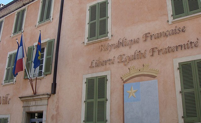
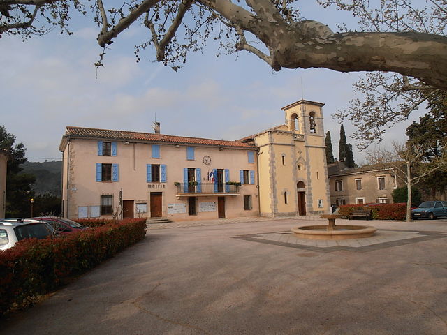
Entrecasteaux (Entrecasteaux)

- commune in Var, France
 Hiking in Entrecasteaux
Entrecasteaux is a picturesque region located in the Var department of Provence-Alpes-Côte d'Azur in southeastern France. Known for its beautiful landscapes, rolling hills, and vineyards, it offers a range of hiking opportunities suitable for various skill levels. Here are some highlights and tips for hiking in the Entrecasteaux area:
Hiking Trails
-
Local Trails: The area around Entrecasteaux features several marked trails that take you through vineyards, olive groves, and forests. These paths provide a chance to experience the natural beauty and tranquility of the region.
-
Var River Trails: A short distance away, you can find trails along the Var River, offering scenic views and wildlife observation opportunities. These paths are often flatter and suitable for families or less experienced hikers.
-
Côtes de Provence Wine Route: While not a traditional hiking experience, incorporating a walk through the vineyards along the wine route combines hiking with wine tasting, making for a delightful day.
Tips for Hiking in Entrecasteaux
-
Preparation: Always check the weather before heading out, as conditions can change. Wear appropriate footwear and clothing for the terrain.
-
Hydration and Snacks: Bring enough water and snacks, especially if you plan on hiking for several hours. There may not be facilities along the trails.
-
Maps and Guides: Use local hiking maps or guides to navigate the trails. The Office de Tourisme de Entrecasteaux may offer resources to help you plan your hike.
-
Wildlife Caution: Be mindful of local wildlife and plants. While the area is beautiful, some plants may be toxic, and certain wildlife may be best observed from a distance.
-
Respect Nature: Follow Leave No Trace principles to keep the trails clean and preserve the natural beauty of the area for future hikers.
Attractions Nearby
- Entrecasteaux Village: After your hike, explore the charming village itself, with its historic buildings and local shops.
- Château d’Entrecasteaux: Visit the nearby castle and learn about its history while enjoying stunning views of the surrounding countryside.
Whether you're looking for a leisurely stroll through vineyards or a more challenging hike with varying elevations, Entrecasteaux has something to offer every hiking enthusiast. Enjoy your adventure in this beautiful part of France!
- Country:

- Postal Code: 83570
- Coordinates: 43° 30' 57" N, 6° 14' 31" E


- GPS tracks (wikiloc): [Link]
- Area: 32.11 sq km
- Population: 1105
- Wikipedia en: wiki(en)
- Wikipedia: wiki(fr)
- Wikidata storage: Wikidata: Q752922
- Wikipedia Commons Category: [Link]
- Freebase ID: [/m/099__j]
- GeoNames ID: Alt: [6451484]
- SIREN number: [218300515]
- BnF ID: [15277878g]
- PACTOLS thesaurus ID: [pcrtixyQdHBLma]
- INSEE municipality code: 83051
Shares border with regions:

Carcès
- commune in Var, France
Hiking in Carcès
Carcès is a charming village located in the Var department in the Provence-Alpes-Côte d'Azur region of southeastern France. It is set amidst picturesque landscapes, making it a fantastic destination for hiking enthusiasts. Here are some highlights about hiking in the area:...
- Country:
- Postal Code: 83570
- Coordinates: 43° 28' 34" N, 6° 10' 58" E
- GPS tracks (wikiloc): [Link]
- Area: 35.76 sq km
- Population: 3463
- Web site: [Link]


Cotignac
- commune in Var, France
Hiking in Cotignac
Cotignac, a charming village located in the Provence-Alpes-Côte d'Azur region of France, offers a variety of hiking opportunities that allow you to explore its stunning natural landscapes and rich cultural heritage. The village is surrounded by beautiful hills, vineyards, and the characteristic limestone cliffs of the region....
- Country:
- Postal Code: 83570
- Coordinates: 43° 31' 43" N, 6° 8' 58" E
- GPS tracks (wikiloc): [Link]
- Area: 44.26 sq km
- Population: 2254
- Web site: [Link]


Saint-Antonin-du-Var
- commune in Var, France
Hiking in Saint-Antonin-du-Var
Saint-Antonin-du-Var, located in the Var department of Provence-Alpes-Côte d'Azur in France, is a charming destination for hikers looking to explore the beautiful landscapes of the region. Here are some highlights you can expect when hiking in and around this picturesque village:...
- Country:
- Postal Code: 83510
- Coordinates: 43° 30' 24" N, 6° 17' 13" E
- GPS tracks (wikiloc): [Link]
- Area: 17.64 sq km
- Population: 748
- Web site: [Link]


Salernes
- commune in Var, France
Hiking in Salernes
Salernes, a charming village in the Var department of Provence-Alpes-Côte d'Azur in France, offers beautiful landscapes and a variety of hiking opportunities. The region is characterized by its stunning hills, valleys, and picturesque countryside, making it a great destination for nature lovers and outdoor enthusiasts....
- Country:
- Postal Code: 83690
- Coordinates: 43° 33' 48" N, 6° 14' 2" E
- GPS tracks (wikiloc): [Link]
- Area: 39.3 sq km
- Population: 3889
- Web site: [Link]

Le Thoronet
- commune in Var, France
Hiking in Le Thoronet
Le Thoronet, located in the Var region of southeastern France, is known for its beautiful natural landscapes, including rolling hills, lush forests, and vineyards. Hiking in Le Thoronet offers a variety of trails suitable for different skill levels, with picturesque views and a chance to explore the region's natural beauty....
- Country:
- Postal Code: 83340
- Coordinates: 43° 27' 7" N, 6° 18' 14" E
- GPS tracks (wikiloc): [Link]
- Area: 37.53 sq km
- Population: 2442
- Web site: [Link]