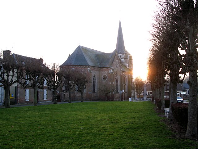
Ergnies (Ergnies)

- commune in Somme, France
- Country:

- Postal Code: 80690
- Coordinates: 50° 5' 9" N, 2° 2' 15" E


- GPS tracks (wikiloc): [Link]
- Area: 1.96 sq km
- Population: 181
- Wikipedia en: wiki(en)
- Wikipedia: wiki(fr)
- Wikidata storage: Wikidata: Q82131
- Wikipedia Commons Category: [Link]
- Freebase ID: [/m/03nqpn6]
- GeoNames ID: Alt: [6444414]
- SIREN number: [218002699]
- BnF ID: [15276763x]
- INSEE municipality code: 80281
Shares border with regions:


Gorenflos
- commune in Somme, France
- Country:
- Postal Code: 80690
- Coordinates: 50° 5' 43" N, 2° 3' 1" E
- GPS tracks (wikiloc): [Link]
- Area: 6.17 sq km
- Population: 248


Ailly-le-Haut-Clocher
- commune in Somme, France
- Country:
- Postal Code: 80690
- Coordinates: 50° 4' 40" N, 1° 59' 42" E
- GPS tracks (wikiloc): [Link]
- Area: 10.81 sq km
- Population: 950


Brucamps
- commune in Somme, France
- Country:
- Postal Code: 80690
- Coordinates: 50° 4' 23" N, 2° 3' 26" E
- GPS tracks (wikiloc): [Link]
- Area: 6.37 sq km
- Population: 141

Domqueur
- commune in Somme, France
- Country:
- Postal Code: 80620
- Coordinates: 50° 6' 52" N, 2° 2' 57" E
- GPS tracks (wikiloc): [Link]
- AboveSeaLevel: 90 м m
- Area: 8.37 sq km
- Population: 307