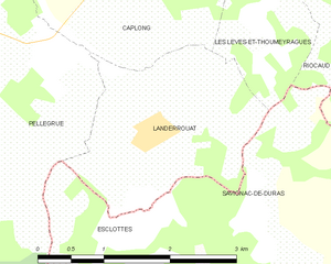
Esclottes (Esclottes)

- commune in Lot-et-Garonne, France
- Country:

- Postal Code: 47120
- Coordinates: 44° 42' 29" N, 0° 8' 44" E


- GPS tracks (wikiloc): [Link]
- Area: 9.24 sq km
- Population: 157
- Wikipedia en: wiki(en)
- Wikipedia: wiki(fr)
- Wikidata storage: Wikidata: Q1108110
- Wikipedia Commons Category: [Link]
- Freebase ID: [/m/03qm1c9]
- GeoNames ID: Alt: [6613036]
- SIREN number: [214700890]
- BnF ID: [152611704]
- INSEE municipality code: 47089
Shares border with regions:


Duras
- commune in Lot-et-Garonne, France
- Country:
- Postal Code: 47120
- Coordinates: 44° 40' 33" N, 0° 10' 58" E
- GPS tracks (wikiloc): [Link]
- Area: 20.17 sq km
- Population: 1315
- Web site: [Link]

Landerrouat
- commune in Gironde, France
- Country:
- Postal Code: 33790
- Coordinates: 44° 44' 32" N, 0° 9' 31" E
- GPS tracks (wikiloc): [Link]
- Area: 4.99 sq km
- Population: 202


Pellegrue
- commune in Gironde, France
- Country:
- Postal Code: 33790
- Coordinates: 44° 44' 36" N, 0° 4' 31" E
- GPS tracks (wikiloc): [Link]
- Area: 38.18 sq km
- Population: 1098
- Web site: [Link]

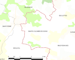
Sainte-Colombe-de-Duras
- commune in Lot-et-Garonne, France
- Country:
- Postal Code: 47120
- Coordinates: 44° 41' 25" N, 0° 7' 29" E
- GPS tracks (wikiloc): [Link]
- Area: 6.97 sq km
- Population: 107

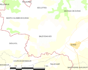
Baleyssagues
- commune in Lot-et-Garonne, France
- Country:
- Postal Code: 47120
- Coordinates: 44° 41' 4" N, 0° 9' 17" E
- GPS tracks (wikiloc): [Link]
- Area: 8.18 sq km
- Population: 174


Savignac-de-Duras
- commune in Lot-et-Garonne, France
- Country:
- Postal Code: 47120
- Coordinates: 44° 42' 3" N, 0° 11' 12" E
- GPS tracks (wikiloc): [Link]
- Area: 14.89 sq km
- Population: 218
- Web site: [Link]