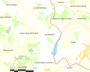
canton of Duras (canton de Duras)
- canton of France (until March 2015)
- Country:

- Capital: Duras
- Coordinates: 44° 40' 0" N, 0° 11' 0" E


- GPS tracks (wikiloc): [Link]
- Wikidata storage: Wikidata: Q738206
- Library of Congress authority ID: Alt: [n90707874]
- INSEE canton code: [4711]
Includes regions:


Auriac-sur-Dropt
- commune in Lot-et-Garonne, France
- Country:
- Postal Code: 47120
- Coordinates: 44° 38' 55" N, 0° 14' 45" E
- GPS tracks (wikiloc): [Link]
- Area: 5.28 sq km
- Population: 182


Villeneuve-de-Duras
- commune in Lot-et-Garonne, France
- Country:
- Postal Code: 47120
- Coordinates: 44° 44' 27" N, 0° 14' 14" E
- GPS tracks (wikiloc): [Link]
- Area: 11.81 sq km
- Population: 316


Loubès-Bernac
- commune in Lot-et-Garonne, France
- Country:
- Postal Code: 47120
- Coordinates: 44° 43' 51" N, 0° 17' 39" E
- GPS tracks (wikiloc): [Link]
- Area: 19.31 sq km
- Population: 389

Soumensac
- commune in Lot-et-Garonne, France
- Country:
- Postal Code: 47120
- Coordinates: 44° 41' 23" N, 0° 19' 37" E
- GPS tracks (wikiloc): [Link]
- Area: 11.42 sq km
- Population: 234


Esclottes
- commune in Lot-et-Garonne, France
- Country:
- Postal Code: 47120
- Coordinates: 44° 42' 29" N, 0° 8' 44" E
- GPS tracks (wikiloc): [Link]
- Area: 9.24 sq km
- Population: 157


Saint-Sernin
- commune in Lot-et-Garonne, France
- Country:
- Postal Code: 47120
- Coordinates: 44° 42' 40" N, 0° 14' 19" E
- GPS tracks (wikiloc): [Link]
- Area: 21.07 sq km
- Population: 418


Pardaillan
- commune in Lot-et-Garonne, France
- Country:
- Postal Code: 47120
- Coordinates: 44° 39' 49" N, 0° 16' 50" E
- GPS tracks (wikiloc): [Link]
- Area: 19.71 sq km
- Population: 312


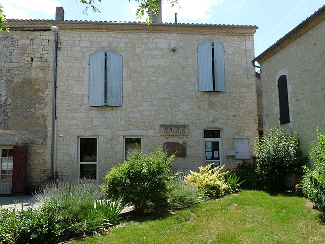
Duras
- commune in Lot-et-Garonne, France
- Country:
- Postal Code: 47120
- Coordinates: 44° 40' 33" N, 0° 10' 58" E
- GPS tracks (wikiloc): [Link]
- Area: 20.17 sq km
- Population: 1315
- Web site: [Link]

Saint-Jean-de-Duras
- commune in Lot-et-Garonne, France
- Country:
- Postal Code: 47120
- Coordinates: 44° 41' 39" N, 0° 17' 48" E
- GPS tracks (wikiloc): [Link]
- Area: 16.56 sq km
- Population: 251


La Sauvetat-du-Dropt
- commune in Lot-et-Garonne, France
- Country:
- Postal Code: 47800
- Coordinates: 44° 38' 50" N, 0° 20' 20" E
- GPS tracks (wikiloc): [Link]
- Area: 10.37 sq km
- Population: 539
- Web site: [Link]


Moustier
- commune in Lot-et-Garonne, France
- Country:
- Postal Code: 47800
- Coordinates: 44° 38' 9" N, 0° 17' 57" E
- GPS tracks (wikiloc): [Link]
- Area: 8.33 sq km
- Population: 330

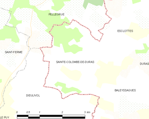
Sainte-Colombe-de-Duras
- commune in Lot-et-Garonne, France
- Country:
- Postal Code: 47120
- Coordinates: 44° 41' 25" N, 0° 7' 29" E
- GPS tracks (wikiloc): [Link]
- Area: 6.97 sq km
- Population: 107


Saint-Astier
- commune in Lot-et-Garonne, France
- Country:
- Postal Code: 47120
- Coordinates: 44° 43' 45" N, 0° 15' 17" E
- GPS tracks (wikiloc): [Link]
- Area: 9.56 sq km
- Population: 219

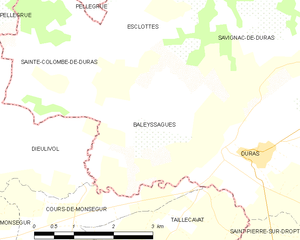
Baleyssagues
- commune in Lot-et-Garonne, France
- Country:
- Postal Code: 47120
- Coordinates: 44° 41' 4" N, 0° 9' 17" E
- GPS tracks (wikiloc): [Link]
- Area: 8.18 sq km
- Population: 174


Savignac-de-Duras
- commune in Lot-et-Garonne, France
- Country:
- Postal Code: 47120
- Coordinates: 44° 42' 3" N, 0° 11' 12" E
- GPS tracks (wikiloc): [Link]
- Area: 14.89 sq km
- Population: 218
- Web site: [Link]