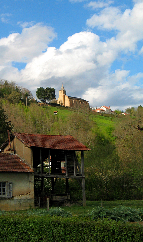
Estampures (Estampures)

- commune in Hautes-Pyrénées, France
- Country:

- Postal Code: 65220
- Coordinates: 43° 22' 17" N, 0° 16' 57" E


- GPS tracks (wikiloc): [Link]
- Area: 5.56 sq km
- Population: 73
- Wikipedia en: wiki(en)
- Wikipedia: wiki(fr)
- Wikidata storage: Wikidata: Q745939
- Wikipedia Commons Category: [Link]
- Freebase ID: [/m/03nv503]
- Freebase ID: [/m/03nv503]
- GeoNames ID: Alt: [6440716]
- GeoNames ID: Alt: [6440716]
- SIREN number: [216501700]
- SIREN number: [216501700]
- BnF ID: [15270550k]
- BnF ID: [15270550k]
- INSEE municipality code: 65170
- INSEE municipality code: 65170
Shares border with regions:


Mazerolles
- commune in Hautes-Pyrénées, France
- Country:
- Postal Code: 65220
- Coordinates: 43° 21' 16" N, 0° 17' 8" E
- GPS tracks (wikiloc): [Link]
- Area: 6.33 sq km
- Population: 109


Fréchède
- commune in Hautes-Pyrénées, France
- Country:
- Postal Code: 65220
- Coordinates: 43° 21' 50" N, 0° 15' 34" E
- GPS tracks (wikiloc): [Link]
- Area: 5.43 sq km
- Population: 47


Bernadets-Debat
- commune in Hautes-Pyrénées, France
- Country:
- Postal Code: 65220
- Coordinates: 43° 21' 13" N, 0° 19' 2" E
- GPS tracks (wikiloc): [Link]
- AboveSeaLevel: 308.5 м m
- Area: 8.77 sq km
- Population: 106


Estampes
- commune in Gers, France
- Country:
- Postal Code: 32170
- Coordinates: 43° 23' 49" N, 0° 16' 34" E
- GPS tracks (wikiloc): [Link]
- Area: 10.82 sq km
- Population: 162

Montégut-Arros
- commune in Gers, France
- Country:
- Postal Code: 32730
- Coordinates: 43° 22' 36" N, 0° 12' 43" E
- GPS tracks (wikiloc): [Link]
- Area: 15.29 sq km
- Population: 297


Castex
- commune in Gers, France
- Country:
- Postal Code: 32170
- Coordinates: 43° 22' 31" N, 0° 18' 38" E
- GPS tracks (wikiloc): [Link]
- Area: 5.38 sq km
- Population: 90