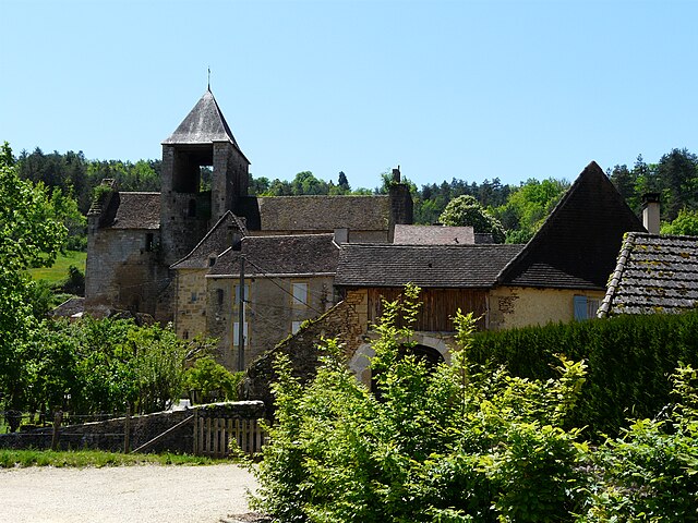
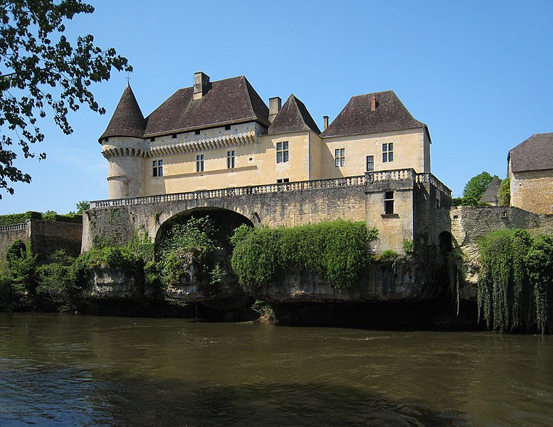
Fanlac (Fanlac)

- commune in Dordogne, France
- Country:

- Postal Code: 24290
- Coordinates: 45° 3' 57" N, 1° 5' 45" E


- GPS tracks (wikiloc): [Link]
- Area: 14.37 sq km
- Population: 131
- Web site: http://fanlac.jimdo.com
- Wikipedia en: wiki(en)
- Wikipedia: wiki(fr)
- Wikidata storage: Wikidata: Q1079987
- Wikipedia Commons Category: [Link]
- Freebase ID: [/m/03mg61v]
- Freebase ID: [/m/03mg61v]
- GeoNames ID: Alt: [3019062]
- GeoNames ID: Alt: [3019062]
- SIREN number: [212401749]
- SIREN number: [212401749]
- BnF ID: [152518220]
- BnF ID: [152518220]
- INSEE municipality code: 24174
- INSEE municipality code: 24174
Shares border with regions:

Auriac-du-Périgord
- commune in Dordogne, France
- Country:
- Postal Code: 24290
- Coordinates: 45° 6' 23" N, 1° 8' 13" E
- GPS tracks (wikiloc): [Link]
- Area: 18.63 sq km
- Population: 384
- Web site: [Link]

Thonac
- commune in Dordogne, France
- Country:
- Postal Code: 24290
- Coordinates: 45° 1' 20" N, 1° 7' 2" E
- GPS tracks (wikiloc): [Link]
- AboveSeaLevel: 72 м m
- Area: 11.62 sq km
- Population: 257
- Web site: [Link]


Bars
- commune in Dordogne, France
- Country:
- Postal Code: 24210
- Coordinates: 45° 5' 57" N, 1° 3' 48" E
- GPS tracks (wikiloc): [Link]
- Area: 22.58 sq km
- Population: 232
- Web site: [Link]


Plazac
- commune in Dordogne, France
- Country:
- Postal Code: 24580
- Coordinates: 45° 2' 6" N, 1° 2' 22" E
- GPS tracks (wikiloc): [Link]
- Area: 33.77 sq km
- Population: 695
- Web site: [Link]


Montignac
- commune in Dordogne, France
- Country:
- Postal Code: 24290
- Coordinates: 45° 3' 59" N, 1° 9' 41" E
- GPS tracks (wikiloc): [Link]
- AboveSeaLevel: 77 м m
- Area: 37.15 sq km
- Population: 2807
- Web site: [Link]