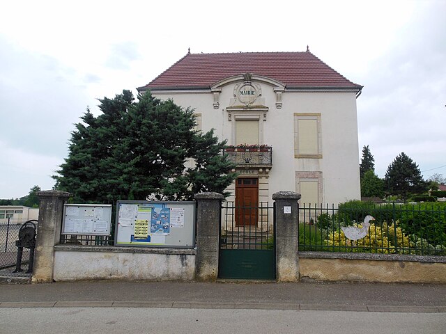
Flammerans (Flammerans)

- commune in Côte-d'Or, France
- Country:

- Postal Code: 21130
- Coordinates: 47° 13' 49" N, 5° 26' 51" E


- GPS tracks (wikiloc): [Link]
- AboveSeaLevel: 200 м m
- Area: 16.55 sq km
- Population: 422
- Wikipedia en: wiki(en)
- Wikipedia: wiki(fr)
- Wikidata storage: Wikidata: Q20163
- Wikipedia Commons Category: [Link]
- Freebase ID: [/m/03mfrn4]
- GeoNames ID: Alt: [6428630]
- SIREN number: [212102693]
- BnF ID: [152505567]
- INSEE municipality code: 21269
Shares border with regions:


Pointre
- commune in Jura, France
- Country:
- Postal Code: 39290
- Coordinates: 47° 13' 29" N, 5° 30' 0" E
- GPS tracks (wikiloc): [Link]
- Area: 6.54 sq km
- Population: 125

Poncey-lès-Athée
- commune in Côte-d'Or, France
- Country:
- Postal Code: 21130
- Coordinates: 47° 14' 26" N, 5° 23' 20" E
- GPS tracks (wikiloc): [Link]
- Area: 6.53 sq km
- Population: 592
- Web site: [Link]
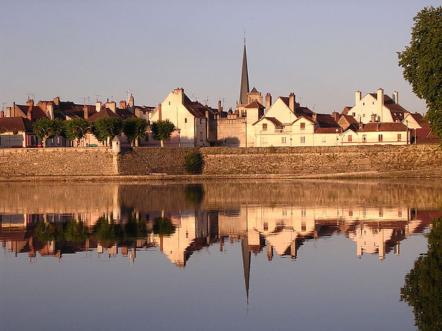

Auxonne
- commune in Côte-d'Or, France
- Country:
- Postal Code: 21130
- Coordinates: 47° 11' 38" N, 5° 23' 16" E
- GPS tracks (wikiloc): [Link]
- AboveSeaLevel: 184 м m
- Area: 40.65 sq km
- Population: 7743
- Web site: [Link]

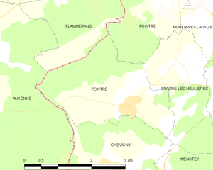
Peintre
- commune in Jura, France
- Country:
- Postal Code: 39290
- Coordinates: 47° 11' 38" N, 5° 28' 54" E
- GPS tracks (wikiloc): [Link]
- Area: 6.34 sq km
- Population: 123