Fleury-la-Forêt (Fleury-la-Forêt)

- commune in Eure, France
- Country:

- Postal Code: 27480
- Coordinates: 49° 25' 10" N, 1° 33' 17" E


- GPS tracks (wikiloc): [Link]
- Area: 7.85 sq km
- Population: 271
- Wikipedia en: wiki(en)
- Wikipedia: wiki(fr)
- Wikidata storage: Wikidata: Q593292
- Wikipedia Commons Category: [Link]
- Freebase ID: [/m/03nqhy7]
- Freebase ID: [/m/03nqhy7]
- GeoNames ID: Alt: [6430380]
- GeoNames ID: Alt: [6430380]
- SIREN number: [212702450]
- SIREN number: [212702450]
- BnF ID: [15253483k]
- BnF ID: [15253483k]
- INSEE municipality code: 27245
- INSEE municipality code: 27245
Shares border with regions:
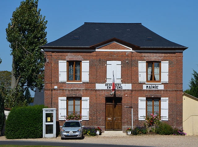

Beauficel-en-Lyons
- commune in Eure, France
- Country:
- Postal Code: 27480
- Coordinates: 49° 24' 27" N, 1° 31' 22" E
- GPS tracks (wikiloc): [Link]
- Area: 7.2 sq km
- Population: 192

Bosquentin
- commune in Eure, France
- Country:
- Postal Code: 27480
- Coordinates: 49° 24' 49" N, 1° 35' 11" E
- GPS tracks (wikiloc): [Link]
- Area: 6.9 sq km
- Population: 133


Lilly
- commune in Eure, France
- Country:
- Postal Code: 27480
- Coordinates: 49° 24' 24" N, 1° 34' 1" E
- GPS tracks (wikiloc): [Link]
- Area: 6.03 sq km
- Population: 82

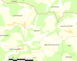
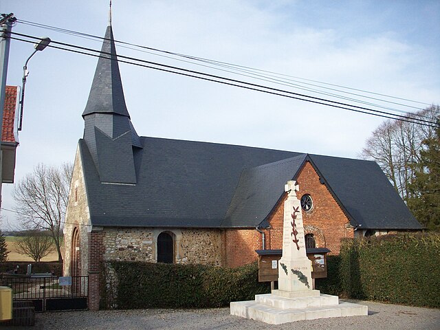
Lorleau
- commune in Eure, France
- Country:
- Postal Code: 27480
- Coordinates: 49° 24' 54" N, 1° 30' 7" E
- GPS tracks (wikiloc): [Link]
- Area: 12.31 sq km
- Population: 142
Bézancourt
- commune in Seine-Maritime, France
- Country:
- Postal Code: 76220
- Coordinates: 49° 26' 34" N, 1° 37' 32" E
- GPS tracks (wikiloc): [Link]
- Area: 17.59 sq km
- Population: 347

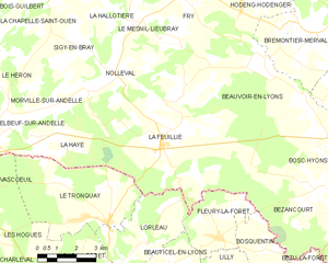
La Feuillie, Seine-Maritime
- commune in Seine-Maritime, France
- Country:
- Postal Code: 76220
- Coordinates: 49° 27' 44" N, 1° 30' 50" E
- GPS tracks (wikiloc): [Link]
- Area: 39.76 sq km
- Population: 1305