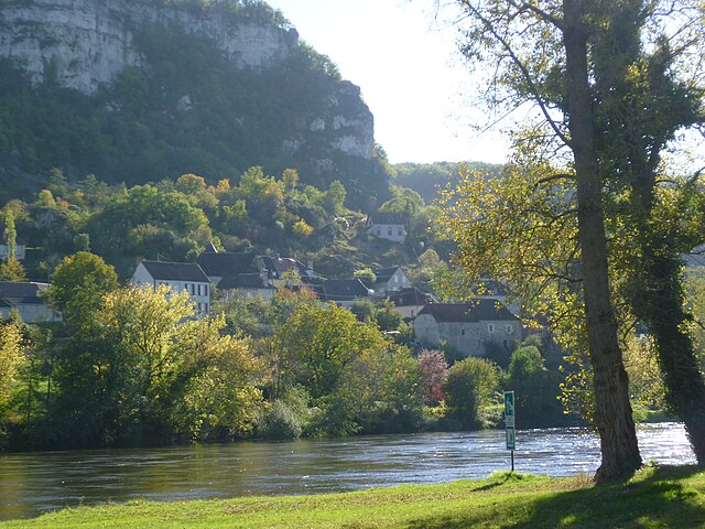
Floirac (Floirac)

- commune in Lot, France
- Country:

- Postal Code: 46600
- Coordinates: 44° 54' 57" N, 1° 39' 17" E


- GPS tracks (wikiloc): [Link]
- Area: 19.02 sq km
- Population: 270
- Wikipedia en: wiki(en)
- Wikipedia: wiki(fr)
- Wikidata storage: Wikidata: Q905347
- Wikipedia Commons Category: [Link]
- Freebase ID: [/m/03mgmnw]
- GeoNames ID: Alt: [6434772]
- SIREN number: [214601064]
- BnF ID: [152608479]
- Library of Congress authority ID: Alt: [no2002085975]
- INSEE municipality code: 46106
Shares border with regions:


Montvalent
- commune in Lot, France
- Country:
- Postal Code: 46600
- Coordinates: 44° 52' 53" N, 1° 37' 5" E
- GPS tracks (wikiloc): [Link]
- Area: 27.61 sq km
- Population: 288
- Web site: [Link]


Saint-Denis-lès-Martel
- commune in Lot, France
- Country:
- Postal Code: 46600
- Coordinates: 44° 56' 27" N, 1° 39' 42" E
- GPS tracks (wikiloc): [Link]
- Area: 7.93 sq km
- Population: 329

Vayrac
- commune in Lot, France
- Country:
- Postal Code: 46110
- Coordinates: 44° 57' 11" N, 1° 42' 15" E
- GPS tracks (wikiloc): [Link]
- Area: 16.33 sq km
- Population: 1291
- Web site: [Link]


Miers
- commune in Lot, France
- Country:
- Postal Code: 46500
- Coordinates: 44° 51' 13" N, 1° 42' 26" E
- GPS tracks (wikiloc): [Link]
- Area: 25.28 sq km
- Population: 447
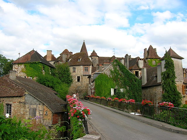

Carennac
- commune in Lot, France
- Country:
- Postal Code: 46110
- Coordinates: 44° 55' 7" N, 1° 43' 55" E
- GPS tracks (wikiloc): [Link]
- Area: 19 sq km
- Population: 407
- Web site: [Link]


Martel
- commune in Lot, France
- Country:
- Postal Code: 46600
- Coordinates: 44° 56' 13" N, 1° 36' 32" E
- GPS tracks (wikiloc): [Link]
- AboveSeaLevel: 240 м m
- Area: 35.28 sq km
- Population: 1601
- Web site: [Link]