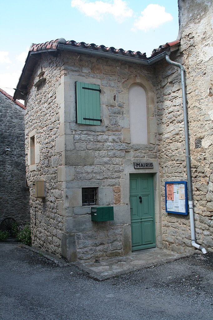
Fondamente (Fondamente)

- commune in Aveyron, France
- Country:

- Postal Code: 12540
- Coordinates: 43° 52' 34" N, 3° 7' 25" E


- GPS tracks (wikiloc): [Link]
- Area: 50.58 sq km
- Population: 326
- Wikipedia en: wiki(en)
- Wikipedia: wiki(fr)
- Wikidata storage: Wikidata: Q1374013
- Wikipedia Commons Gallery: [Link]
- Wikipedia Commons Category: [Link]
- Freebase ID: [/m/03m93y_]
- GeoNames ID: Alt: [6426968]
- SIREN number: [211201553]
- BnF ID: [152471318]
- PACTOLS thesaurus ID: [pcrttnp0DpAWQX]
- INSEE municipality code: 12155
Shares border with regions:


Le Clapier
- commune in Aveyron, France
- Country:
- Postal Code: 12540
- Coordinates: 43° 49' 52" N, 3° 10' 21" E
- GPS tracks (wikiloc): [Link]
- Area: 19.6 sq km
- Population: 79


Montagnol
- commune in Aveyron, France
- Country:
- Postal Code: 12360
- Coordinates: 43° 50' 18" N, 3° 0' 48" E
- GPS tracks (wikiloc): [Link]
- Area: 34.47 sq km
- Population: 125

Saint-Beaulize
- commune in Aveyron, France
- Country:
- Postal Code: 12540
- Coordinates: 43° 53' 50" N, 3° 6' 34" E
- GPS tracks (wikiloc): [Link]
- Area: 19.97 sq km
- Population: 100

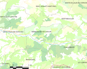
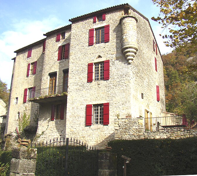
Marnhagues-et-Latour
- commune in Aveyron, France
- Country:
- Postal Code: 12540
- Coordinates: 43° 52' 21" N, 3° 1' 48" E
- GPS tracks (wikiloc): [Link]
- Area: 21.92 sq km
- Population: 127


Roqueredonde
- commune in Hérault, France
- Country:
- Postal Code: 34650
- Coordinates: 43° 48' 1" N, 3° 12' 44" E
- GPS tracks (wikiloc): [Link]
- Area: 22.71 sq km
- Population: 212
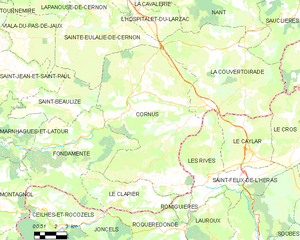
Cornus
- commune in Aveyron, France
- Country:
- Postal Code: 12540
- Coordinates: 43° 54' 8" N, 3° 10' 43" E
- GPS tracks (wikiloc): [Link]
- AboveSeaLevel: 645 м m
- Area: 92.74 sq km
- Population: 515
- Web site: [Link]


Ceilhes-et-Rocozels
- commune in Hérault, France
- Country:
- Postal Code: 34260
- Coordinates: 43° 48' 13" N, 3° 6' 38" E
- GPS tracks (wikiloc): [Link]
- Area: 27.82 sq km
- Population: 317