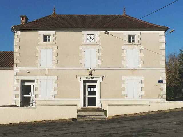
Fouqueure (Fouqueure)

- commune in Charente, France
- Country:

- Postal Code: 16140
- Coordinates: 45° 53' 2" N, 0° 4' 23" E


- GPS tracks (wikiloc): [Link]
- Area: 16.43 sq km
- Population: 379
- Wikipedia en: wiki(en)
- Wikipedia: wiki(fr)
- Wikidata storage: Wikidata: Q1345617
- Wikipedia Commons Category: [Link]
- Freebase ID: [/m/03mcb7x]
- GeoNames ID: Alt: [3017559]
- SIREN number: [211601448]
- BnF ID: [15248583v]
- INSEE municipality code: 16144
Shares border with regions:


Marcillac-Lanville
- commune in Charente, France
- Country:
- Postal Code: 16140
- Coordinates: 45° 50' 46" N, 0° 1' 12" E
- GPS tracks (wikiloc): [Link]
- Area: 18.41 sq km
- Population: 561


Villognon
- commune in Charente, France
- Country:
- Postal Code: 16230
- Coordinates: 45° 51' 42" N, 0° 5' 56" E
- GPS tracks (wikiloc): [Link]
- Area: 9.17 sq km
- Population: 333

Luxé
- commune in Charente, France
- Country:
- Postal Code: 16230
- Coordinates: 45° 53' 34" N, 0° 6' 58" E
- GPS tracks (wikiloc): [Link]
- Area: 12.17 sq km
- Population: 720


Villejésus
- commune in Charente, France
- Country:
- Postal Code: 16140
- Coordinates: 45° 53' 42" N, 0° 1' 45" E
- GPS tracks (wikiloc): [Link]
- Area: 17.23 sq km
- Population: 519


Tusson
- commune in Charente, France
- Country:
- Postal Code: 16140
- Coordinates: 45° 56' 3" N, 0° 4' 6" E
- GPS tracks (wikiloc): [Link]
- Area: 13.97 sq km
- Population: 222
- Web site: [Link]


Ligné
- commune in Charente, France
- Country:
- Postal Code: 16140
- Coordinates: 45° 55' 19" N, 0° 6' 28" E
- GPS tracks (wikiloc): [Link]
- Area: 7.97 sq km
- Population: 159


Ambérac
- commune in Charente, France
- Country:
- Postal Code: 16140
- Coordinates: 45° 51' 11" N, 0° 3' 58" E
- GPS tracks (wikiloc): [Link]
- Area: 12.1 sq km
- Population: 335