Fréchou (Fréchou)

- commune in Lot-et-Garonne, France
- Country:

- Postal Code: 47600
- Coordinates: 44° 5' 6" N, 0° 19' 15" E


- GPS tracks (wikiloc): [Link]
- Area: 11.97 sq km
- Population: 215
- Web site: http://www.lefrechou.fr/
- Wikipedia en: wiki(en)
- Wikipedia: wiki(fr)
- Wikidata storage: Wikidata: Q1110511
- Wikipedia Commons Category: [Link]
- Freebase ID: [/m/03qm1jg]
- GeoNames ID: Alt: [6434952]
- SIREN number: [214701039]
- BnF ID: [15261184t]
- INSEE municipality code: 47103
Shares border with regions:


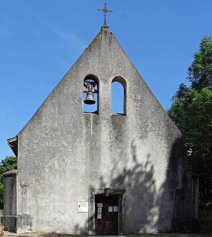
Mézin
- commune in Lot-et-Garonne, France
- Country:
- Postal Code: 47170
- Coordinates: 44° 3' 24" N, 0° 15' 30" E
- GPS tracks (wikiloc): [Link]
- Area: 31.58 sq km
- Population: 1589
- Web site: [Link]
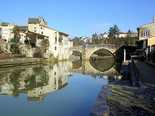

Nérac
- commune in Lot-et-Garonne, France
- Country:
- Postal Code: 47600
- Coordinates: 44° 8' 10" N, 0° 20' 22" E
- GPS tracks (wikiloc): [Link]
- AboveSeaLevel: 71 м m
- Area: 62.68 sq km
- Population: 6969
- Web site: [Link]

Lasserre
- commune in Lot-et-Garonne, France
- Country:
- Postal Code: 47600
- Coordinates: 44° 3' 53" N, 0° 23' 29" E
- GPS tracks (wikiloc): [Link]
- AboveSeaLevel: 160 м m
- Area: 6.49 sq km
- Population: 74


Moncrabeau
- commune in Lot-et-Garonne, France
- Country:
- Postal Code: 47600
- Coordinates: 44° 2' 2" N, 0° 22' 14" E
- GPS tracks (wikiloc): [Link]
- Area: 49.94 sq km
- Population: 735
- Web site: [Link]


Andiran
- commune in Lot-et-Garonne, France
- Country:
- Postal Code: 47170
- Coordinates: 44° 5' 52" N, 0° 16' 41" E
- GPS tracks (wikiloc): [Link]
- Area: 9.89 sq km
- Population: 218