
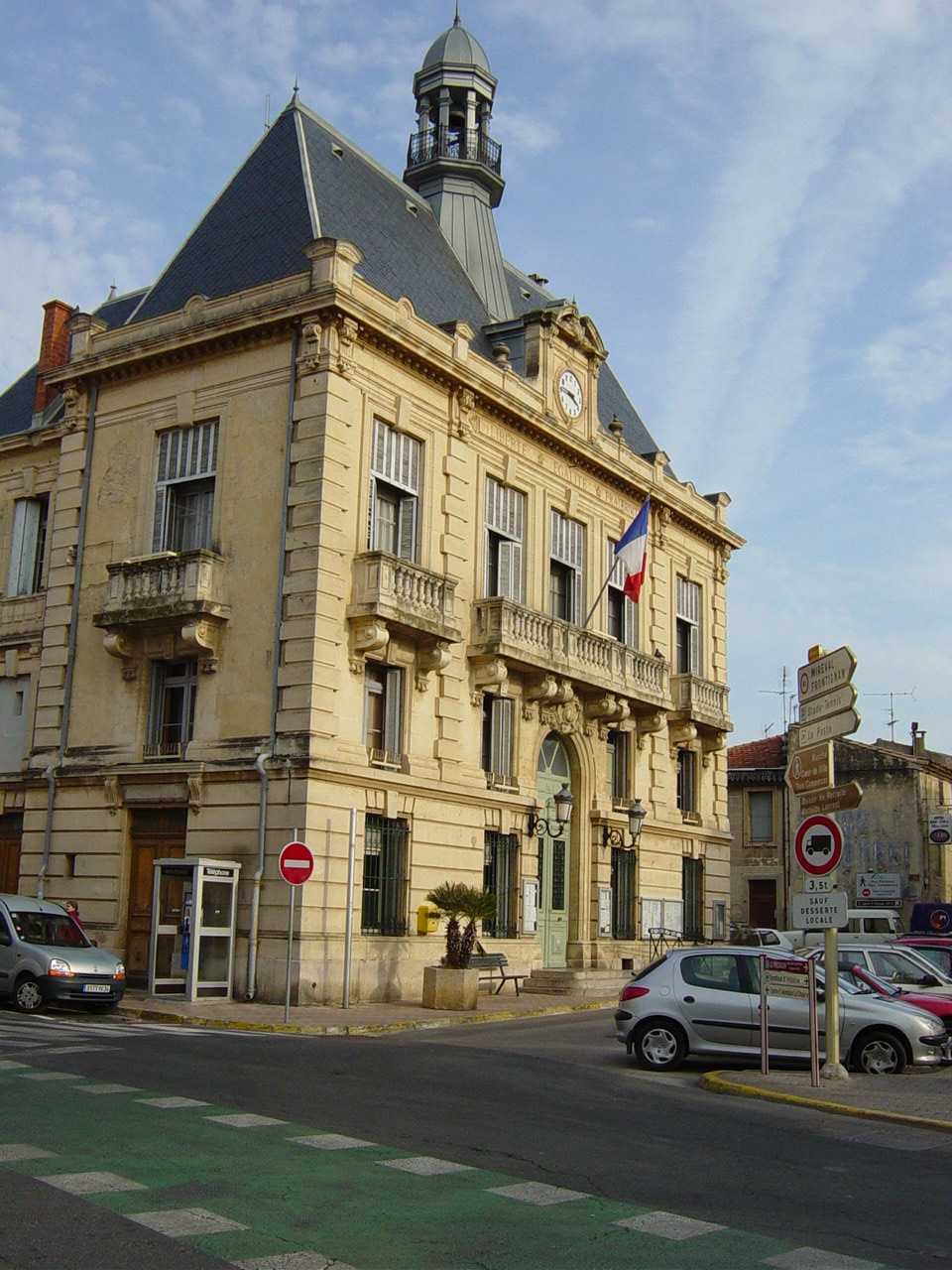
Frontignan (Frontignan)

- commune in Hérault, France
- Country:

- Postal Code: 34110
- Coordinates: 43° 26' 50" N, 3° 45' 20" E


- GPS tracks (wikiloc): [Link]
- Area: 31.72 sq km
- Population: 22771
- Web site: http://www.ville-frontignan.fr/
- Wikipedia en: wiki(en)
- Wikipedia: wiki(fr)
- Wikidata storage: Wikidata: Q216280
- Wikipedia Commons Gallery: [Link]
- Wikipedia Commons Category: [Link]
- Wikipedia Commons Maps Category: [Link]
- Freebase ID: [/m/08sf5d]
- Freebase ID: [/m/08sf5d]
- GeoNames ID: Alt: [3016956]
- GeoNames ID: Alt: [3016956]
- SIREN number: [213401086]
- SIREN number: [213401086]
- BnF ID: [12411547m]
- BnF ID: [12411547m]
- VIAF ID: Alt: [149973986]
- VIAF ID: Alt: [149973986]
- GND ID: Alt: [4378004-0]
- GND ID: Alt: [4378004-0]
- Library of Congress authority ID: Alt: [nr95032712]
- Library of Congress authority ID: Alt: [nr95032712]
- PACTOLS thesaurus ID: [pcrt7X789yxag4]
- PACTOLS thesaurus ID: [pcrt7X789yxag4]
- MusicBrainz area ID: [8aecc50d-c127-42fe-9b04-73ad62ad77c1]
- MusicBrainz area ID: [8aecc50d-c127-42fe-9b04-73ad62ad77c1]
- SUDOC authorities ID: [033228078]
- SUDOC authorities ID: [033228078]
- Gran Enciclopèdia Catalana ID: [0028361]
- Gran Enciclopèdia Catalana ID: [0028361]
- Facebook Places ID: [112346755442956]
- Facebook Places ID: [112346755442956]
- INSEE municipality code: 34108
- INSEE municipality code: 34108
Shares border with regions:


Gigean
- commune in Hérault, France
- Country:
- Postal Code: 34770
- Coordinates: 43° 29' 59" N, 3° 42' 40" E
- GPS tracks (wikiloc): [Link]
- Area: 16.56 sq km
- Population: 6399
- Web site: [Link]

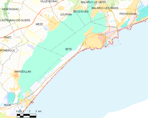
Sète
- commune in Hérault, France
- Country:
- Postal Code: 34200
- Coordinates: 43° 24' 16" N, 3° 41' 48" E
- GPS tracks (wikiloc): [Link]
- Area: 24.21 sq km
- Population: 43620
- Web site: [Link]


Balaruc-le-Vieux
- commune in Hérault, France
- Country:
- Postal Code: 34540
- Coordinates: 43° 27' 37" N, 3° 41' 5" E
- GPS tracks (wikiloc): [Link]
- Area: 5.92 sq km
- Population: 2611


Vic-la-Gardiole
- commune in Hérault, France
- Country:
- Postal Code: 34110
- Coordinates: 43° 29' 23" N, 3° 47' 48" E
- GPS tracks (wikiloc): [Link]
- Area: 18.49 sq km
- Population: 3244

Villeneuve-lès-Maguelone
- commune in Hérault, France
- Country:
- Postal Code: 34750
- Coordinates: 43° 31' 56" N, 3° 51' 39" E
- GPS tracks (wikiloc): [Link]
- AboveSeaLevel: 8 м m
- Area: 22.7 sq km
- Population: 9625
- Web site: [Link]


Balaruc-les-Bains
- commune in Hérault, France
- Country:
- Postal Code: 34540
- Coordinates: 43° 26' 27" N, 3° 40' 38" E
- GPS tracks (wikiloc): [Link]
- Area: 8.66 sq km
- Population: 6851