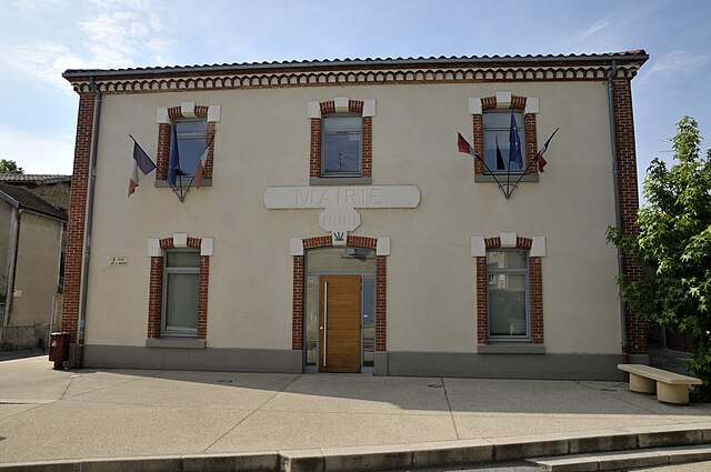
Génissieux (Génissieux)

- commune in Drôme, France
 Hiking in Génissieux
Génissieux is a charming commune located in the Auvergne-Rhône-Alpes region of southeastern France, near the city of Valence. The area is characterized by its beautiful natural landscapes, rolling hills, and proximity to the Rhône Valley, making it an excellent destination for hiking enthusiasts.
Hiking Trails:
-
Local Trails: There are several local hiking paths that wind through the countryside surrounding Génissieux. These trails typically offer a mix of terrain, including mild hills, fields, and woodlands, providing a great opportunity to experience the region's flora and fauna.
-
Le Chemin des Écoliers: This is a popular trail that can be explored on foot or by bike. It's mainly flat and family-friendly, making it perfect for casual hikes.
-
The Vercors Massif: Just a short drive from Génissieux, the Vercors region offers a more rugged hiking experience with stunning views, deep gorges, and limestone cliffs. The Vercors is known for its diverse trails ranging from easy walks to challenging climbs.
-
GR Trails: The Grande Randonnée (GR) trails are long-distance footpaths that traverse many areas in France. While not directly in Génissieux, you can access GR trails nearby for day hikes or multi-day trekking adventures.
Best Time to Hike:
- Spring (April to June): The weather is mild, flowers are blooming, and it's ideal for hiking.
- Autumn (September to November): The fall foliage offers stunning views, and temperatures are still comfortable for hiking.
Tips for Hiking in Génissieux:
- Footwear: Wear appropriate hiking boots or shoes for comfort and support, especially if you plan to explore rugged trails.
- Maps and Guides: Bring a map or a hiking app to help navigate the trails. Local tourist offices can provide helpful information on trails and conditions.
- Hydration and Snacks: Always pack enough water and snacks to keep your energy up during hikes.
- Respect Nature: Stay on marked trails, and be mindful of local wildlife and plants.
Nearby Attractions:
- Valence: Explore the city before or after your hikes. It has beautiful parks, historical sites, and local cuisine to enjoy.
- Hiking Clubs: Consider joining local hiking groups or clubs for guided hikes and to meet fellow outdoor enthusiasts.
Hiking in and around Génissieux offers a fantastic experience to connect with nature while enjoying the scenic beauty of the Rhône-Alpes region.
- Country:

- Postal Code: 26750
- Coordinates: 45° 5' 1" N, 5° 5' 5" E


- GPS tracks (wikiloc): [Link]
- Area: 8.93 sq km
- Population: 2084
- Wikipedia en: wiki(en)
- Wikipedia: wiki(fr)
- Wikidata storage: Wikidata: Q863589
- Wikipedia Commons Category: [Link]
- Freebase ID: [/m/03mhgdj]
- GeoNames ID: Alt: [6430094]
- SIREN number: [212601397]
- BnF ID: [15253000z]
- VIAF ID: Alt: [245871471]
- INSEE municipality code: 26139
Shares border with regions:
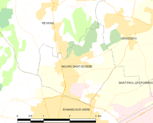
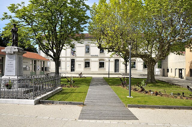
Mours-Saint-Eusèbe
- commune in Drôme, France
Hiking in Mours-Saint-Eusèbe
Mours-Saint-Eusèbe, located in the Auvergne-Rhône-Alpes region of France, offers a range of hiking opportunities that cater to different skill levels and preferences. The area is characterized by its beautiful landscapes, including rolling hills, woodlands, and river valleys. Here’s what you can expect when hiking in and around Mours-Saint-Eusèbe:...
- Country:
- Postal Code: 26540
- Coordinates: 45° 4' 17" N, 5° 3' 5" E
- GPS tracks (wikiloc): [Link]
- Area: 5.27 sq km
- Population: 3040


Saint-Paul-lès-Romans
- commune in Drôme, France
Hiking in Saint-Paul-lès-Romans
Saint-Paul-lès-Romans is a charming commune in the Drôme department of southeastern France, located near the picturesque Rhône-Alpes region. The area offers a variety of hiking opportunities, characterized by its beautiful landscapes, historical sites, and natural features....
- Country:
- Postal Code: 26750
- Coordinates: 45° 4' 3" N, 5° 7' 58" E
- GPS tracks (wikiloc): [Link]
- Area: 15.77 sq km
- Population: 1814


Romans-sur-Isère
- commune in Drôme, France
Hiking in Romans-sur-Isère
Romans-sur-Isère is a charming town located in the Drôme department in southeastern France. Nestled near the banks of the Isère River, the area offers a variety of hiking opportunities that allow you to explore the natural beauty of the region....
- Country:
- Postal Code: 26100
- Coordinates: 45° 2' 44" N, 5° 3' 3" E
- GPS tracks (wikiloc): [Link]
- Area: 33.08 sq km
- Population: 33465
- Web site: [Link]


Triors
- commune in Drôme, France
Hiking in Triors
Triors, located in southeastern France, is a charming village near the Drôme region, known for its stunning natural landscapes, rolling hills, and opportunities for outdoor activities, including hiking. The area surrounding Triors offers a mix of terrain, including forests, vineyards, and meadows, making it ideal for hikers of all skill levels....
- Country:
- Postal Code: 26750
- Coordinates: 45° 5' 49" N, 5° 6' 56" E
- GPS tracks (wikiloc): [Link]
- Area: 5.65 sq km
- Population: 558

Peyrins
- commune in Drôme, France
Hiking in Peyrins
Peyrins is a charming commune located in the Drôme department in southeastern France, nestled in the foothills of the French Alps. While it may not be as widely known as some of the larger hiking destinations in the region, Peyrins and its surrounding areas offer several scenic walking trails that cater to a range of hiking experiences....
- Country:
- Postal Code: 26380
- Coordinates: 45° 5' 35" N, 5° 2' 50" E
- GPS tracks (wikiloc): [Link]
- Area: 25.16 sq km
- Population: 2708


Châtillon-Saint-Jean
- commune in Drôme, France
Hiking in Châtillon-Saint-Jean
Châtillon-Saint-Jean is a picturesque village located in the French Alps, making it a great base for hiking enthusiasts. The area offers stunning scenery, diverse landscapes, and a variety of trails suitable for all levels of hikers, from beginners to more experienced trekkers....
- Country:
- Postal Code: 26750
- Coordinates: 45° 5' 17" N, 5° 7' 51" E
- GPS tracks (wikiloc): [Link]
- Area: 8.82 sq km
- Population: 1339
Geyssans
- commune in Drôme, France
Hiking in Geyssans
Geyssans is a picturesque region located in the Drôme department of southeastern France, known for its stunning landscapes, diverse flora and fauna, and scenic hiking trails. It is situated within the foothills of the Alps, providing hikers with beautiful vistas and various trekking opportunities....
- Country:
- Postal Code: 26750
- Coordinates: 45° 7' 17" N, 5° 5' 37" E
- GPS tracks (wikiloc): [Link]
- Area: 10.9 sq km
- Population: 725