Güssing District (Bezirk Güssing)

- district of Austria
 Hiking in Güssing District
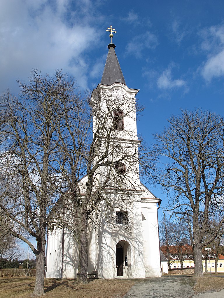
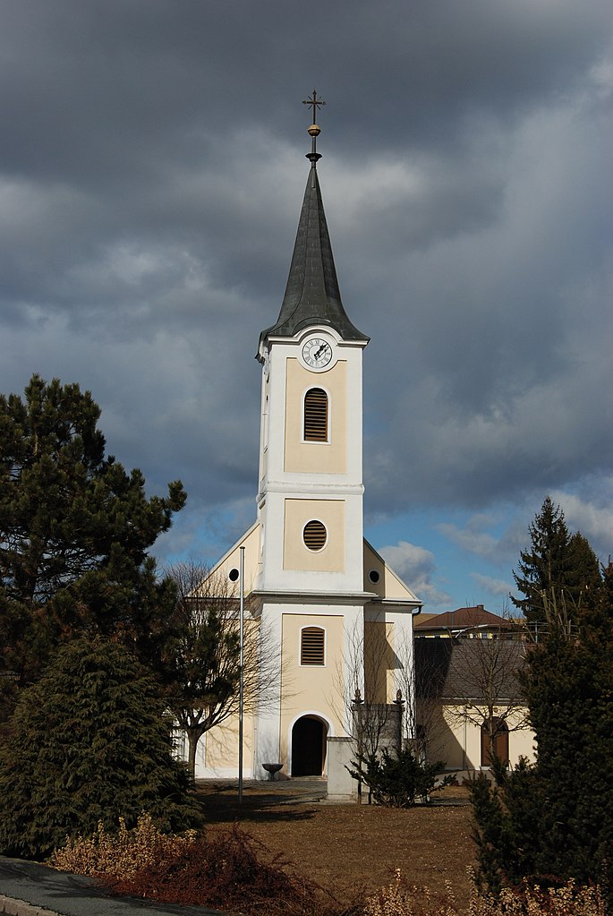
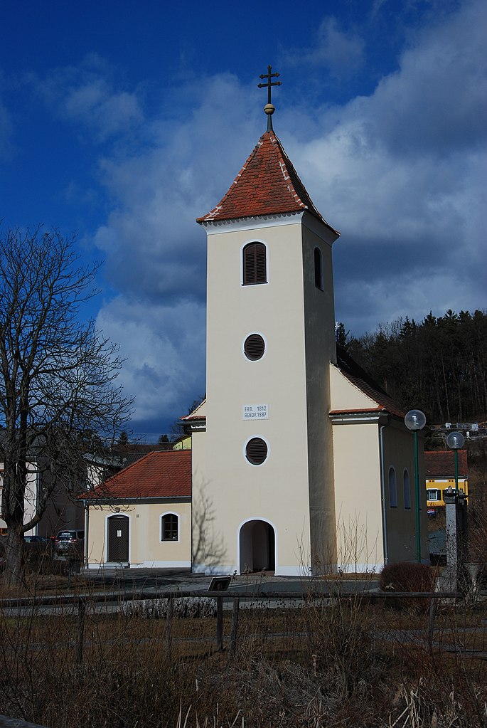
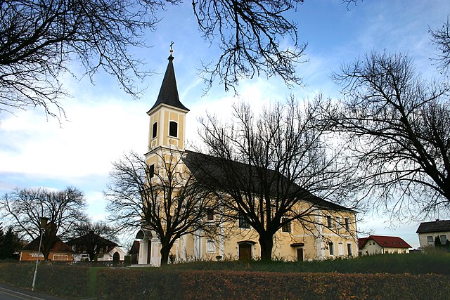
Hiking in the Güssing District of Austria offers a variety of scenic trails and beautiful landscapes, ideal for outdoor enthusiasts. Located in the southeastern part of Burgenland, near the Hungarian border, Güssing is known for its rolling hills, vineyards, and historical sites.
Highlights of Hiking in Güssing District:
-
Scenic Trails: The region features numerous marked hiking trails that vary in difficulty, accommodating both beginners and more experienced hikers. These trails often take you through picturesque forests, vineyards, and rural villages, showcasing the natural beauty of the area.
-
Güssing Castle: A prominent landmark, the Güssing Castle stands atop a hill and offers stunning panoramic views of the surrounding countryside. Hikers can explore the area around the castle and enjoy the historical significance it adds to the hike.
-
Nature Reserves: The district is home to several nature reserves that protect local flora and fauna. Hiking through these areas provides opportunities to observe wildlife and appreciate the region's biodiversity.
-
Cultural Routes: Many hiking paths are linked to cultural heritage and provide insights into the local history and traditions. Look for paths that connect historical sites, like old windmills and churches.
-
Wine Trails: Given Burgenland's reputation for wine production, you can find trails that lead through vineyards, allowing hikers to sample local wines and learn about winemaking.
Tips for Hiking in Güssing District:
-
Seasonal Considerations: The best times to hike are typically in the spring and fall when temperatures are mild, and the scenery is particularly beautiful. Summers can be hot, and winter may bring snow, affecting trail accessibility.
-
Equipment: Wear appropriate footwear and carry essentials such as water, snacks, and a map or GPS device. A hiking pole can also be helpful on uneven terrain.
-
Local Maps: Consider obtaining local hiking maps, either online or from tourism offices, to ensure you have accurate trail information.
-
Respect Nature: Follow Leave No Trace principles to protect the natural environment and ensure a pleasant experience for other hikers.
Exploring the Güssing District on foot is a fantastic way to immerse yourself in the natural beauty and cultural richness of this unique region in Austria!
- Country:

- Licence Plate Code: GS
- Coordinates: 47° 7' 5" N, 16° 15' 40" E


- GPS tracks (wikiloc): [Link]
- AboveSeaLevel: 240 м m
- Population: 26266
- Wikipedia en: wiki(en)
- Wikipedia: wiki(de)
- Wikidata storage: Wikidata: Q660312
- Wikipedia Commons Category: [Link]
- Freebase ID: [/m/06vv1y]
- GeoNames ID: Alt: [2777215]
- VIAF ID: Alt: [237028579]
- archINFORM location ID: [14660]
Includes regions:
Rauchwart
- municipality in Austria
Hiking in Rauchwart
Rauchwart, located in Burgenland, Austria, is a charming destination for hiking enthusiasts. The area is characterized by its gentle hills, forests, and picturesque landscapes, providing a range of trails suitable for various skill levels....
- Country:
- Postal Code: 7535
- Local Dialing Code: 03327
- Licence Plate Code: GS
- Coordinates: 47° 8' 1" N, 16° 13' 51" E
- GPS tracks (wikiloc): [Link]
- AboveSeaLevel: 247 м m
- Area: 17.51 sq km
- Population: 446
- Web site: [Link]


Heiligenbrunn
- municipality in Austria
Hiking in Heiligenbrunn
Heiligenbrunn, located in Austria’s Burgenland region, is known for its beautiful landscapes, rolling hills, and vineyards. Hiking in this area offers a blend of scenic views, diverse terrain, and cultural experiences....
- Country:
- Postal Code: 7522
- Local Dialing Code: 03324
- Licence Plate Code: GS
- Coordinates: 47° 1' 34" N, 16° 24' 56" E
- GPS tracks (wikiloc): [Link]
- AboveSeaLevel: 223 м m
- Area: 33.5 sq km
- Population: 759
- Web site: [Link]

Güssing
- municipality in Austria
Hiking in Güssing
Güssing, located in the Burgenland region of Austria, offers a beautiful and diverse landscape for hiking enthusiasts. The area is characterized by rolling hills, vineyards, and a rich natural environment, making it ideal for various hiking trails suitable for all skill levels....
- Country:
- Postal Code: 7540, 7542
- Local Dialing Code: 03322
- Licence Plate Code: GS
- Coordinates: 47° 3' 33" N, 16° 19' 23" E
- GPS tracks (wikiloc): [Link]
- AboveSeaLevel: 229 м m
- Area: 49.28 sq km
- Population: 3655
- Web site: [Link]

Stinatz
- municipality in Austria
Hiking in Stinatz
Stinatz is a small village located in Burgenland, Austria. While it may not be as widely recognized as some other hiking destinations, the surrounding area offers beautiful landscapes and opportunities for hiking enthusiasts to explore....
- Country:
- Postal Code: 7552
- Local Dialing Code: 03358
- Licence Plate Code: GS
- Coordinates: 47° 12' 14" N, 16° 8' 0" E
- GPS tracks (wikiloc): [Link]
- AboveSeaLevel: 338 м m
- Area: 9.5 sq km
- Population: 1263
- Web site: [Link]
Hackerberg
- municipality in Austria
Hiking in Hackerberg
Hackerberg, located in Germany, is a fantastic area for hiking enthusiasts. The region offers a variety of trails that cater to different skill levels, making it suitable for both beginners and experienced hikers. Here are some highlights of hiking in Hackerberg:...
- Country:
- Postal Code: 8292
- Local Dialing Code: 03358
- Licence Plate Code: GS
- Coordinates: 47° 11' 46" N, 16° 6' 25" E
- GPS tracks (wikiloc): [Link]
- AboveSeaLevel: 392 м m
- Area: 3.77 sq km
- Population: 357
- Web site: [Link]

Kukmirn
- municipality in Austria
Hiking in Kukmirn
Kukmirn is a small village located in Austria's Burgenland region. While it may not be as popular as some of the larger hiking destinations, it offers a tranquil setting with opportunities to explore picturesque landscapes and experience the local culture....
- Country:
- Postal Code: 7543
- Local Dialing Code: 03328
- Licence Plate Code: GS
- Coordinates: 47° 4' 20" N, 16° 12' 19" E
- GPS tracks (wikiloc): [Link]
- AboveSeaLevel: 255 м m
- Area: 40.5 sq km
- Population: 2012
- Web site: [Link]

Ollersdorf im Burgenland
- municipality in Austria
Hiking in Ollersdorf im Burgenland
Ollersdorf im Burgenland, a charming village located in the Burgenland region of Austria, offers a picturesque setting for hiking enthusiasts. Situated near the border with Hungary, this area is characterized by rolling hills, vineyards, and serene landscapes....
- Country:
- Postal Code: 7533
- Local Dialing Code: 03326
- Licence Plate Code: GS
- Coordinates: 47° 10' 0" N, 16° 10' 0" E
- GPS tracks (wikiloc): [Link]
- AboveSeaLevel: 308 м m
- Area: 89 sq km
- Population: 933
- Web site: [Link]

Strem
- municipality in Austria
Hiking in Strem
Strem is not widely recognized as a hiking destination in popular hiking literature or resources. However, if you are referring to a specific area or region, it's possible that it offers scenic trails suitable for hiking....
- Country:
- Postal Code: 7522
- Local Dialing Code: 10416
- Licence Plate Code: GS
- Coordinates: 47° 2' 39" N, 16° 24' 51" E
- GPS tracks (wikiloc): [Link]
- AboveSeaLevel: 207 м m
- Area: 23.8 sq km
- Population: 900
- Web site: [Link]

Tobaj
- municipality in Austria
Hiking in Tobaj
Tobaj, a small village in Hungary, is known for its beautiful landscapes and vineyards, making it an attractive spot for hiking enthusiasts. While it may not be as well-known as larger national parks, Tobaj offers several appealing features for hikers:...
- Country:
- Postal Code: 7544
- Local Dialing Code: 03322
- Licence Plate Code: GS
- Coordinates: 47° 5' 27" N, 16° 18' 16" E
- GPS tracks (wikiloc): [Link]
- AboveSeaLevel: 315 м m
- Area: 58.14 sq km
- Population: 1372
- Web site: [Link]

Neuberg im Burgenland
- municipality in Austria
Hiking in Neuberg im Burgenland
Neuberg im Burgenland, located in Austria, offers a beautiful natural setting for hiking enthusiasts. The region is characterized by its scenic landscapes, rolling hills, vineyards, and forests, making it an ideal location for both casual walkers and avid hikers. Here are some highlights for hiking in and around Neuberg im Burgenland:...
- Country:
- Postal Code: 7537
- Local Dialing Code: 03327
- Licence Plate Code: GS
- Coordinates: 47° 10' 7" N, 16° 15' 35" E
- GPS tracks (wikiloc): [Link]
- AboveSeaLevel: 360 м m
- Area: 17.6 sq km
- Population: 978
- Web site: [Link]

Eberau
- municipality in Austria
Hiking in Eberau
Eberau, located in the Burgenland region of Austria, offers scenic hiking opportunities that allow you to explore the natural beauty of the area. Here are some points of interest and tips for hiking in and around Eberau:...
- Country:
- Local Dialing Code: 03323
- Licence Plate Code: GS
- Coordinates: 47° 6' 24" N, 16° 27' 39" E
- GPS tracks (wikiloc): [Link]
- AboveSeaLevel: 215 м m
- Area: 30.7 sq km
- Population: 911
- Web site: [Link]
Heugraben
- municipality in Austria
Hiking in Heugraben
Heugraben is a beautiful hiking destination located in a valley in the eastern part of the Alps, primarily known for its stunning landscapes and excellent trail options. Here's what you need to know about hiking in Heugraben:...
- Country:
- Postal Code: 7551
- Local Dialing Code: 03326
- Licence Plate Code: GS
- Coordinates: 47° 7' 0" N, 16° 11' 29" E
- GPS tracks (wikiloc): [Link]
- AboveSeaLevel: 249 м m
- Area: 6.47 sq km
- Population: 216
- Web site: [Link]

Stegersbach
- municipality in Austria
Hiking in Stegersbach
Stegersbach, located in Burgenland, Austria, is an excellent destination for hiking enthusiasts. This picturesque region offers a mix of rolling hills, lush landscapes, and charming vineyards. Here are some highlights and tips for hiking in Stegersbach:...
- Country:
- Postal Code: 7551
- Local Dialing Code: 03326
- Licence Plate Code: GS
- Coordinates: 47° 9' 35" N, 16° 9' 59" E
- GPS tracks (wikiloc): [Link]
- AboveSeaLevel: 262 м m
- Area: 17.78 sq km
- Population: 2658
- Web site: [Link]

Güttenbach
- municipality in Austria
Hiking in Güttenbach
Güttenbach is a quaint village located in the region of Austria, surrounded by beautiful countryside and scenic landscapes, making it a charming destination for hiking enthusiasts. Here are some highlights for hiking in and around Güttenbach:...
- Country:
- Postal Code: 7536
- Local Dialing Code: 03327
- Licence Plate Code: GS
- Coordinates: 47° 9' 35" N, 16° 17' 20" E
- GPS tracks (wikiloc): [Link]
- AboveSeaLevel: 263 м m
- Area: 15.9 sq km
- Population: 898
- Web site: [Link]


Großmürbisch
- municipality in Austria
Hiking in Großmürbisch
Großmürbisch is a small village located in the Burgenland region of Austria, known for its picturesque landscapes and serene surroundings. Hiking in this area offers a unique opportunity to explore rural Austro-Hungarian nature, characterized by rolling hills, vineyards, and fields, alongside the charm of small villages....
- Country:
- Postal Code: 7540
- Local Dialing Code: 03322
- Licence Plate Code: GS
- Coordinates: 47° 1' 1" N, 16° 21' 37" E
- GPS tracks (wikiloc): [Link]
- AboveSeaLevel: 293 м m
- Area: 7.9 sq km
- Population: 242
- Web site: [Link]

Moschendorf
- municipality in Austria
Hiking in Moschendorf
Moschendorf is a small village located in the Burgenland region of Austria, known for its picturesque landscapes and outdoor activities. While it's not as well known as larger tourist destinations, it offers some lovely hiking opportunities for nature enthusiasts looking to explore the tranquility of rural Austria....
- Country:

- Postal Code: 7540
- Local Dialing Code: 03324
- Licence Plate Code: GS
- Coordinates: 47° 3' 23" N, 16° 28' 40" E
- GPS tracks (wikiloc): [Link]
- AboveSeaLevel: 206 м m
- Area: 13.2 sq km
- Population: 400
- Web site: [Link]

Kleinmürbisch
- municipality in Austria
Hiking in Kleinmürbisch
Kleinmürbisch is a lovely village located in Austria, surrounded by picturesque landscapes that are ideal for hiking enthusiasts. The region offers a variety of hiking trails that cater to different skill levels, making it a great destination for both beginners and experienced hikers....
- Country:
- Postal Code: 7540
- Local Dialing Code: 03322
- Licence Plate Code: GS
- Coordinates: 47° 2' 1" N, 16° 19' 27" E
- GPS tracks (wikiloc): [Link]
- AboveSeaLevel: 260 м m
- Area: 4.29 sq km
- Population: 226
- Web site: [Link]

Bildein
- municipality in Austria
Hiking in Bildein
Bildein is a charming village in Austria known for its picturesque landscapes and scenic hiking trails. Nestled in the Burgenland region, it offers an excellent opportunity for both novice and experienced hikers to explore the natural beauty of the area....
- Country:
- Postal Code: 7521
- Local Dialing Code: 03323
- Licence Plate Code: GS
- Coordinates: 47° 7' 51" N, 16° 27' 58" E
- GPS tracks (wikiloc): [Link]
- AboveSeaLevel: 225 м m
- Area: 16.6 sq km
- Population: 343
- Web site: [Link]

Wörterberg
- municipality in Austria
Hiking in Wörterberg
Wörterberg is a beautiful hiking area located in Austria, known for its scenic landscapes and varied trails. Hiking here offers a chance to explore lush forests, rolling hills, and stunning panoramic views of the surrounding countryside....
- Country:
- Postal Code: 8293
- Local Dialing Code: 03358
- Licence Plate Code: GS
- Coordinates: 47° 13' 30" N, 16° 5' 58" E
- GPS tracks (wikiloc): [Link]
- AboveSeaLevel: 408 м m
- Area: 4.76 sq km
- Population: 488
- Web site: [Link]

Burgauberg-Neudauberg
- municipality in Austria
Hiking in Burgauberg-Neudauberg
Burgauberg-Neudauberg is a picturesque area located in Austria, known for its beautiful landscapes, rolling hills, and vineyards. It offers several opportunities for hiking enthusiasts who want to explore the natural beauty of the region. Here are some useful details for hiking in this area:...
- Country:
- Local Dialing Code: 03326
- Licence Plate Code: GS
- Coordinates: 47° 9' 27" N, 16° 7' 36" E
- GPS tracks (wikiloc): [Link]
- AboveSeaLevel: 350 м m
- Area: 10.9 sq km
- Population: 1360
- Web site: [Link]


Bocksdorf
- municipality in Austria
Hiking in Bocksdorf
Bocksdorf, located in Austria, is a charming village that offers a range of hiking opportunities for all levels of outdoor enthusiasts. The scenic landscapes feature rolling hills, lush forests, and picturesque views of the surrounding countryside....
- Country:
- Postal Code: 7551
- Local Dialing Code: 03326
- Licence Plate Code: GS
- Coordinates: 47° 8' 37" N, 16° 10' 37" E
- GPS tracks (wikiloc): [Link]
- AboveSeaLevel: 244 м m
- Area: 9.99 sq km
- Population: 813
- Web site: [Link]

Sankt Michael im Burgenland
- municipality in Austria
Hiking in Sankt Michael im Burgenland
Sankt Michael im Burgenland is a charming village located in the Burgenland region of Austria, known for its serene landscapes and outdoor activities, including hiking. Here are some highlights to consider if you're planning a hiking trip there:...
- Country:
- Postal Code: 7535
- Local Dialing Code: 03327
- Licence Plate Code: GS
- Coordinates: 47° 7' 36" N, 16° 16' 9" E
- GPS tracks (wikiloc): [Link]
- AboveSeaLevel: 231 м m
- Area: 18.4 sq km
- Population: 963
- Web site: [Link]
Rohr im Burgenland
- municipality in Austria
Hiking in Rohr im Burgenland
Rohr im Burgenland is a small village located in Austria, surrounded by beautiful landscapes that are perfect for hiking enthusiasts. The region offers a variety of trails that cater to different skill levels, from beginners to more experienced hikers....
- Country:
- Postal Code: 7551
- Local Dialing Code: 03326
- Licence Plate Code: GS
- Coordinates: 47° 7' 4" N, 16° 9' 54" E
- GPS tracks (wikiloc): [Link]
- AboveSeaLevel: 390 м m
- Area: 8.4 sq km
- Population: 380
- Web site: [Link]

Inzenhof
- municipality in Austria
Hiking in Inzenhof
Inzenhof is a charming village located in the Burgenland region of Austria, known for its picturesque landscapes and serene environment. While it may not be as commonly recognized as some other hiking destinations in Austria, it offers some lovely opportunities for outdoor enthusiasts who enjoy hiking in quieter, less crowded settings....
- Country:
- Postal Code: 7540
- Local Dialing Code: 03322
- Licence Plate Code: GS
- Coordinates: 47° 0' 43" N, 16° 19' 4" E
- GPS tracks (wikiloc): [Link]
- AboveSeaLevel: 260 м m
- Area: 5.97 sq km
- Population: 334
- Web site: [Link]

Neustift bei Güssing
- municipality in Austria
Hiking in Neustift bei Güssing
Neustift bei Güssing is a beautiful area located in the Burgenland region of Austria, known for its scenic landscapes, rolling hills, and rich cultural heritage. If you're considering hiking in this area, here are some key points to keep in mind:...
- Country:
- Postal Code: 7540
- Local Dialing Code: 03325
- Licence Plate Code: GS
- Coordinates: 47° 1' 25" N, 16° 15' 27" E
- GPS tracks (wikiloc): [Link]
- AboveSeaLevel: 265 м m
- Area: 11.44 sq km
- Population: 474
- Web site: [Link]
Gerersdorf-Sulz
- municipality in Austria
Hiking in Gerersdorf-Sulz
Gerersdorf-Sulz is a quaint area that offers a range of opportunities for hiking enthusiasts. Nestled in Austria, it provides a picturesque landscape characterized by rolling hills, lush forests, and beautiful valleys. Here are some key points to consider when planning your hike in this region:...
- Country:
- Postal Code: 7540, 7542
- Local Dialing Code: 03328
- Licence Plate Code: GS
- Coordinates: 47° 4' 8" N, 16° 15' 13" E
- GPS tracks (wikiloc): [Link]
- AboveSeaLevel: 228 м m
- Area: 21.63 sq km
- Population: 1014
- Web site: [Link]

Olbendorf
- municipality in Austria
Hiking in Olbendorf
Olbendorf, located in Austria, is surrounded by beautiful landscapes that make it an attractive destination for hiking enthusiasts. The region is characterized by rolling hills, lush forests, and picturesque views of the surrounding area, including the scenic hills of the Bucklige Welt and the nearby mountain ranges....
- Country:
- Postal Code: 7534
- Local Dialing Code: 03326
- Licence Plate Code: GS
- Coordinates: 47° 11' 19" N, 16° 12' 14" E
- GPS tracks (wikiloc): [Link]
- AboveSeaLevel: 380 м m
- Area: 17.38 sq km
- Population: 1449
- Web site: [Link]

Tschanigraben
- municipality in Austria
Hiking in Tschanigraben
Tschanigraben is a lesser-known hiking destination that offers stunning natural landscapes, often characterized by lush greenery, rocky terrain, and captivating views. While specific details about Tschanigraben may vary, it typically features trails that can cater to different skill levels, making it suitable for both novice hikers and seasoned outdoor enthusiasts....
- Country:
- Postal Code: 7540
- Local Dialing Code: 03322
- Licence Plate Code: GS
- Coordinates: 47° 0' 23" N, 16° 18' 9" E
- GPS tracks (wikiloc): [Link]
- AboveSeaLevel: 260 м m
- Area: 1.7 sq km
- Population: 62
- Web site: [Link]