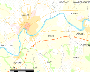
Gaillac (Gaillac)

- commune in Tarn, France
- Country:

- Postal Code: 81600
- Coordinates: 43° 54' 2" N, 1° 53' 54" E


- GPS tracks (wikiloc): [Link]
- Area: 50.93 sq km
- Population: 15423
- Web site: http://www.ville-gaillac.fr
- Wikipedia en: wiki(en)
- Wikipedia: wiki(fr)
- Wikidata storage: Wikidata: Q343613
- Wikipedia Commons Category: [Link]
- Freebase ID: [/m/06s88g]
- GeoNames ID: Alt: [3016824]
- SIREN number: [218100998]
- BnF ID: [152774055]
- VIAF ID: Alt: [147837703]
- GND ID: Alt: [4241263-8]
- Library of Congress authority ID: Alt: [n86858839]
- MusicBrainz area ID: [737df74b-bb14-4b94-85a8-b7ae25e32040]
- Gran Enciclopèdia Catalana ID: [0028736]
- Digital Atlas of the Roman Empire ID: [10524]
- INSEE municipality code: 81099
Shares border with regions:
Broze
- commune in Tarn, France
- Country:
- Postal Code: 81600
- Coordinates: 43° 57' 12" N, 1° 53' 29" E
- GPS tracks (wikiloc): [Link]
- Area: 4.02 sq km
- Population: 114

Brens
- commune in Tarn, France
- Country:
- Postal Code: 81600
- Coordinates: 43° 53' 22" N, 1° 54' 37" E
- GPS tracks (wikiloc): [Link]
- Area: 22.79 sq km
- Population: 2276
- Web site: [Link]


Cahuzac-sur-Vère
- commune in Tarn, France
- Country:
- Postal Code: 81140
- Coordinates: 43° 58' 59" N, 1° 54' 39" E
- GPS tracks (wikiloc): [Link]
- Area: 30.58 sq km
- Population: 1131

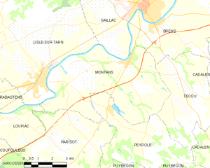
Montans
- commune in Tarn, France
- Country:
- Postal Code: 81600
- Coordinates: 43° 51' 59" N, 1° 53' 7" E
- GPS tracks (wikiloc): [Link]
- Area: 32.43 sq km
- Population: 1383
- Web site: [Link]

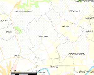
Senouillac
- commune in Tarn, France
- Country:
- Postal Code: 81600
- Coordinates: 43° 56' 30" N, 1° 57' 1" E
- GPS tracks (wikiloc): [Link]
- Area: 15.01 sq km
- Population: 1095
- Web site: [Link]


Rivières
- commune in Tarn, France
- Country:
- Postal Code: 81600
- Coordinates: 43° 54' 51" N, 1° 57' 46" E
- GPS tracks (wikiloc): [Link]
- Area: 9.57 sq km
- Population: 1028
- Web site: [Link]


Lisle-sur-Tarn
- commune in Tarn, France
- Country:
- Postal Code: 81310
- Coordinates: 43° 51' 13" N, 1° 48' 40" E
- GPS tracks (wikiloc): [Link]
- Area: 86.56 sq km
- Population: 4574
- Web site: [Link]


Castelnau-de-Montmiral
- commune in Tarn, France
- Country:
- Postal Code: 81140
- Coordinates: 43° 57' 56" N, 1° 49' 15" E
- GPS tracks (wikiloc): [Link]
- Area: 88.81 sq km
- Population: 1044
- Web site: [Link]