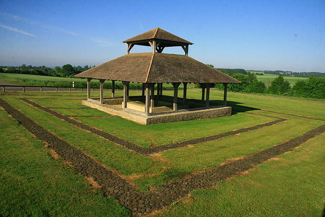
Gesnes-le-Gandelin (Gesnes-le-Gandelin)
- commune in Sarthe, France
- Country:

- Postal Code: 72130
- Coordinates: 48° 21' 20" N, 0° 1' 0" E


- GPS tracks (wikiloc): [Link]
- AboveSeaLevel: 200 м m
- Area: 12.88 sq km
- Population: 963
- Wikipedia en: wiki(en)
- Wikipedia: wiki(fr)
- Wikidata storage: Wikidata: Q1222890
- Wikipedia Commons Category: [Link]
- Freebase ID: [/m/03qj0lg]
- GeoNames ID: Alt: [3016173]
- SIREN number: [217201417]
- BnF ID: [15273696w]
- VIAF ID: Alt: [236147977]
- PACTOLS thesaurus ID: [pcrt8oI4iK4eRk]
- INSEE municipality code: 72141
Shares border with regions:


Assé-le-Boisne
- commune in Sarthe, France
- Country:

- Postal Code: 72130
- Coordinates: 48° 19' 21" N, 0° 0' 29" E


- GPS tracks (wikiloc): [Link]
- Area: 28.39 sq km
- Population: 915


Oisseau-le-Petit
- commune in Sarthe, France
- Country:

- Postal Code: 72610
- Coordinates: 48° 20' 53" N, 0° 5' 10" E


- GPS tracks (wikiloc): [Link]
- Area: 8.6 sq km
- Population: 663


Bérus
- commune in Sarthe, France
- Country:

- Postal Code: 72610
- Coordinates: 48° 22' 29" N, 0° 3' 7" E


- GPS tracks (wikiloc): [Link]
- Area: 6.73 sq km
- Population: 458
- Web site: [Link]


Héloup
- commune in Orne, France
- Country:

- Postal Code: 61250
- Coordinates: 48° 23' 50" N, 0° 1' 32" E


- GPS tracks (wikiloc): [Link]
- Area: 12.96 sq km
- Population: 934


Fyé
- commune in Sarthe, France
- Country:

- Postal Code: 72610
- Coordinates: 48° 19' 34" N, 0° 4' 46" E


- GPS tracks (wikiloc): [Link]
- Area: 16.31 sq km
- Population: 1009
Saint-Victeur
- commune in Sarthe, France
- Country:

- Postal Code: 72130
- Coordinates: 48° 19' 22" N, 0° 2' 22" E


- GPS tracks (wikiloc): [Link]
- Area: 7.06 sq km
- Population: 461


Moulins-le-Carbonnel
- commune in Sarthe, France
- Country:

- Postal Code: 72130
- Coordinates: 48° 22' 21" N, 0° 1' 27" E


- GPS tracks (wikiloc): [Link]
- Area: 16.31 sq km
- Population: 706
