Moulins-le-Carbonnel (Moulins-le-Carbonnel)

- commune in Sarthe, France
- Country:

- Postal Code: 72130
- Coordinates: 48° 22' 21" N, 0° 1' 27" E


- GPS tracks (wikiloc): [Link]
- Area: 16.31 sq km
- Population: 706
- Wikipedia en: wiki(en)
- Wikipedia: wiki(fr)
- Wikidata storage: Wikidata: Q769492
- Wikipedia Commons Category: [Link]
- Freebase ID: [/m/03qj084]
- GeoNames ID: Alt: [6442634]
- SIREN number: [217202126]
- BnF ID: [15273767k]
- INSEE municipality code: 72212
Shares border with regions:


Assé-le-Boisne
- commune in Sarthe, France
- Country:
- Postal Code: 72130
- Coordinates: 48° 19' 21" N, 0° 0' 29" E
- GPS tracks (wikiloc): [Link]
- Area: 28.39 sq km
- Population: 915


Gesnes-le-Gandelin
- commune in Sarthe, France
- Country:
- Postal Code: 72130
- Coordinates: 48° 21' 20" N, 0° 1' 0" E
- GPS tracks (wikiloc): [Link]
- AboveSeaLevel: 200 м m
- Area: 12.88 sq km
- Population: 963


Héloup
- commune in Orne, France
- Country:
- Postal Code: 61250
- Coordinates: 48° 23' 50" N, 0° 1' 32" E
- GPS tracks (wikiloc): [Link]
- Area: 12.96 sq km
- Population: 934


Mieuxcé
- commune in Orne, France
- Country:
- Postal Code: 61250
- Coordinates: 48° 24' 1" N, 0° 0' 40" E
- GPS tracks (wikiloc): [Link]
- Area: 10.36 sq km
- Population: 625


Saint-Léonard-des-Bois
- commune in Sarthe, France
- Country:
- Postal Code: 72130
- Coordinates: 48° 21' 8" N, 0° 4' 41" E
- GPS tracks (wikiloc): [Link]
- Area: 27.12 sq km
- Population: 478
- Web site: [Link]
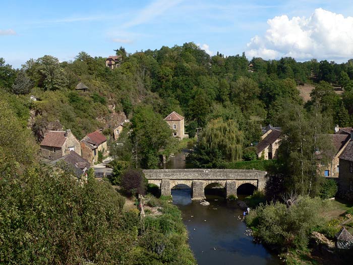
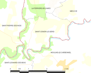
Saint-Céneri-le-Gérei
- commune in Orne, France
- Country:
- Postal Code: 61250
- Coordinates: 48° 22' 48" N, 0° 3' 10" E
- GPS tracks (wikiloc): [Link]
- Area: 3.86 sq km
- Population: 121
- Web site: [Link]