Gesté (Gesté)

- former commune in Maine-et-Loire, France
- Country:

- Postal Code: 49600
- Coordinates: 47° 10' 50" N, 1° 6' 39" E


- GPS tracks (wikiloc): [Link]
- Area: 35.55 sq km
- Population: 2683
- Web site: http://www.mairie-geste.fr/
- Wikipedia en: wiki(en)
- Wikipedia: wiki(fr)
- Wikidata storage: Wikidata: Q589809
- Wikipedia Commons Category: [Link]
- Freebase ID: [/m/03w9jjd]
- GeoNames ID: Alt: [6435217]
- BnF ID: [15261752v]
- VIAF ID: Alt: [124913958]
- Library of Congress authority ID: Alt: [n84019267]
- SUDOC authorities ID: [026576929]
- ISNI: Alt: [0000 0001 2151 0980]
- INSEE municipality code: 49151
Shares border with regions:


La Chaussaire
- former commune in Maine-et-Loire, France
- Country:
- Postal Code: 49600
- Coordinates: 47° 12' 5" N, 1° 8' 47" E
- GPS tracks (wikiloc): [Link]
- Area: 12.2 sq km
- Population: 814
- Web site: [Link]


La Regrippière
- commune in Loire-Atlantique, France
- Country:
- Postal Code: 44330
- Coordinates: 47° 10' 54" N, 1° 10' 34" E
- GPS tracks (wikiloc): [Link]
- Area: 18.17 sq km
- Population: 1532
- Web site: [Link]

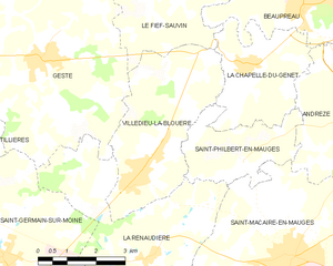
Villedieu-la-Blouère
- former commune in Maine-et-Loire, France
- Country:
- Postal Code: 49450
- Coordinates: 47° 8' 49" N, 1° 3' 51" E
- GPS tracks (wikiloc): [Link]
- Area: 14.24 sq km
- Population: 2554
- Web site: [Link]


La Renaudière
- former commune in Maine-et-Loire, France
- Country:
- Postal Code: 49450
- Coordinates: 47° 7' 14" N, 1° 3' 35" E
- GPS tracks (wikiloc): [Link]
- Area: 21.46 sq km
- Population: 1045
- Web site: [Link]

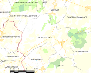
Le Puiset-Doré
- former commune in Maine-et-Loire, France
- Country:
- Postal Code: 49600
- Coordinates: 47° 13' 56" N, 1° 6' 56" E
- GPS tracks (wikiloc): [Link]
- Area: 22.62 sq km
- Population: 1175
- Web site: [Link]


Tillières
- former commune in Maine-et-Loire, France
- Country:
- Postal Code: 49230
- Coordinates: 47° 8' 40" N, 1° 9' 52" E
- GPS tracks (wikiloc): [Link]
- Area: 24.13 sq km
- Population: 1810


Saint-Germain-sur-Moine
- former commune in Maine-et-Loire, France
- Country:
- Postal Code: 49230
- Coordinates: 47° 7' 4" N, 1° 7' 22" E
- GPS tracks (wikiloc): [Link]
- Area: 26.79 sq km
- Population: 2957
- Web site: [Link]


Le Fief-Sauvin
- former commune in Maine-et-Loire, France
- Country:
- Postal Code: 49600
- Coordinates: 47° 13' 16" N, 1° 2' 30" E
- GPS tracks (wikiloc): [Link]
- Area: 30.29 sq km
- Population: 1672