Le Fief-Sauvin (Le Fief-Sauvin)

- former commune in Maine-et-Loire, France
- Country:

- Postal Code: 49600
- Coordinates: 47° 13' 16" N, 1° 2' 30" E


- GPS tracks (wikiloc): [Link]
- Area: 30.29 sq km
- Population: 1672
- Wikipedia en: wiki(en)
- Wikipedia: wiki(fr)
- Wikidata storage: Wikidata: Q975626
- Wikipedia Commons Category: [Link]
- Freebase ID: [/m/03w9jfn]
- GeoNames ID: Alt: [3004238]
- BnF ID: [152617389]
- INSEE municipality code: 49137
Shares border with regions:

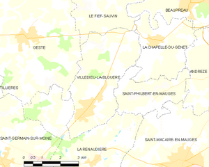
Villedieu-la-Blouère
- former commune in Maine-et-Loire, France
- Country:
- Postal Code: 49450
- Coordinates: 47° 8' 49" N, 1° 3' 51" E
- GPS tracks (wikiloc): [Link]
- Area: 14.24 sq km
- Population: 2554
- Web site: [Link]

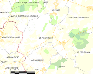
Le Puiset-Doré
- former commune in Maine-et-Loire, France
- Country:
- Postal Code: 49600
- Coordinates: 47° 13' 56" N, 1° 6' 56" E
- GPS tracks (wikiloc): [Link]
- Area: 22.62 sq km
- Population: 1175
- Web site: [Link]


Saint-Pierre-Montlimart
- former commune in Maine-et-Loire, France
- Country:
- Postal Code: 49110
- Coordinates: 47° 16' 11" N, 1° 1' 39" E
- GPS tracks (wikiloc): [Link]
- Area: 22.29 sq km
- Population: 3353


Gesté
- former commune in Maine-et-Loire, France
- Country:
- Postal Code: 49600
- Coordinates: 47° 10' 50" N, 1° 6' 39" E
- GPS tracks (wikiloc): [Link]
- Area: 35.55 sq km
- Population: 2683
- Web site: [Link]


La Chapelle-du-Genêt
- former commune in Maine-et-Loire, France
- Country:
- Postal Code: 49600
- Coordinates: 47° 10' 59" N, 1° 1' 10" E
- GPS tracks (wikiloc): [Link]
- Area: 9.1 sq km
- Population: 1237


Saint-Rémy-en-Mauges
- former commune in Maine-et-Loire, France
- Country:
- Postal Code: 49110
- Coordinates: 47° 16' 15" N, 1° 4' 32" E
- GPS tracks (wikiloc): [Link]
- Area: 21.56 sq km
- Population: 1445