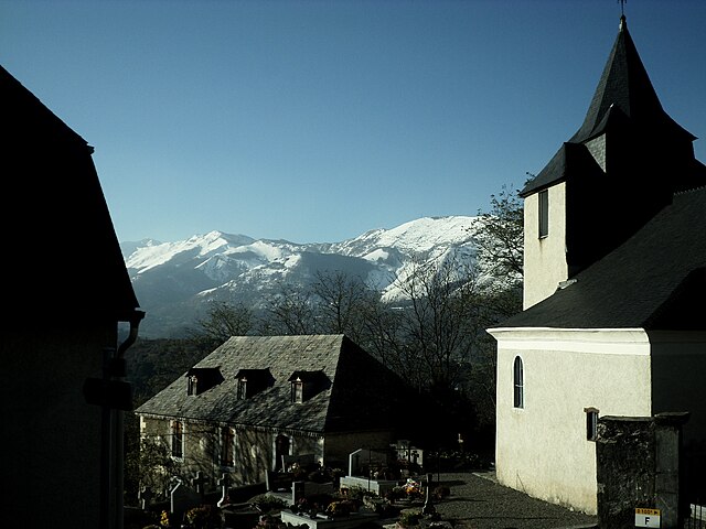
Geu (Geu)

- commune in Hautes-Pyrénées, France
- Country:

- Postal Code: 65100
- Coordinates: 43° 2' 24" N, 0° 3' 0" E


- GPS tracks (wikiloc): [Link]
- Area: 2.67 sq km
- Population: 172
- Wikipedia en: wiki(en)
- Wikipedia: wiki(fr)
- Wikidata storage: Wikidata: Q1599829
- Wikipedia Commons Category: [Link]
- Freebase ID: [/m/03nv5b2]
- Freebase ID: [/m/03nv5b2]
- GeoNames ID: Alt: [6440743]
- GeoNames ID: Alt: [6440743]
- SIREN number: [216502013]
- SIREN number: [216502013]
- BnF ID: [15270581v]
- BnF ID: [15270581v]
- INSEE municipality code: 65201
- INSEE municipality code: 65201
Shares border with regions:


Berbérust-Lias
- commune in Hautes-Pyrénées, France
- Country:
- Postal Code: 65100
- Coordinates: 43° 2' 44" N, 0° 1' 47" E
- GPS tracks (wikiloc): [Link]
- Area: 5.73 sq km
- Population: 53


Agos-Vidalos
- commune in Hautes-Pyrénées, France
- Country:
- Postal Code: 65400
- Coordinates: 43° 2' 13" N, 0° 4' 18" E
- GPS tracks (wikiloc): [Link]
- Area: 6.11 sq km
- Population: 430


Ger
- commune in Hautes-Pyrénées, France
- Country:
- Postal Code: 65100
- Coordinates: 43° 3' 16" N, 0° 2' 23" E
- GPS tracks (wikiloc): [Link]
- Area: 1.94 sq km
- Population: 179

Saint-Pastous
- commune in Hautes-Pyrénées, France
- Country:
- Postal Code: 65400
- Coordinates: 43° 0' 49" N, 0° 3' 32" E
- GPS tracks (wikiloc): [Link]
- Area: 8.2 sq km
- Population: 132


Boô-Silhen
- commune in Hautes-Pyrénées, France
- Country:
- Postal Code: 65400
- Coordinates: 43° 1' 7" N, 0° 4' 23" E
- GPS tracks (wikiloc): [Link]
- Area: 3.12 sq km
- Population: 288