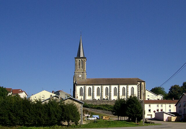
Girancourt (Girancourt)

- commune in Vosges, France
- Country:

- Postal Code: 88390
- Coordinates: 48° 9' 49" N, 6° 18' 29" E


- GPS tracks (wikiloc): [Link]
- Area: 17.66 sq km
- Population: 902
- Wikipedia en: wiki(en)
- Wikipedia: wiki(fr)
- Wikidata storage: Wikidata: Q901032
- Wikipedia Commons Category: [Link]
- Freebase ID: [/m/03qh7nc]
- Freebase ID: [/m/03qh7nc]
- GeoNames ID: Alt: [6445568]
- GeoNames ID: Alt: [6445568]
- SIREN number: [218802015]
- SIREN number: [218802015]
- BnF ID: [15279128g]
- BnF ID: [15279128g]
- INSEE municipality code: 88201
- INSEE municipality code: 88201
Shares border with regions:
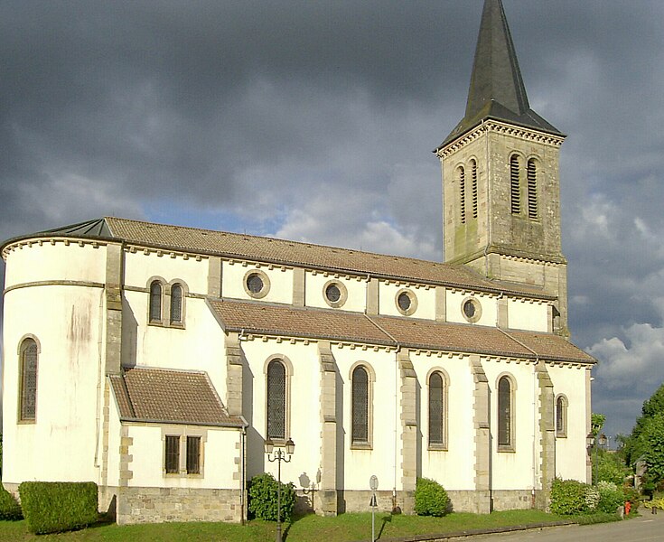
Uzemain
- commune in Vosges, France
- Country:
- Postal Code: 88220
- Coordinates: 48° 5' 8" N, 6° 20' 42" E
- GPS tracks (wikiloc): [Link]
- Area: 27.3 sq km
- Population: 1088
- Web site: [Link]

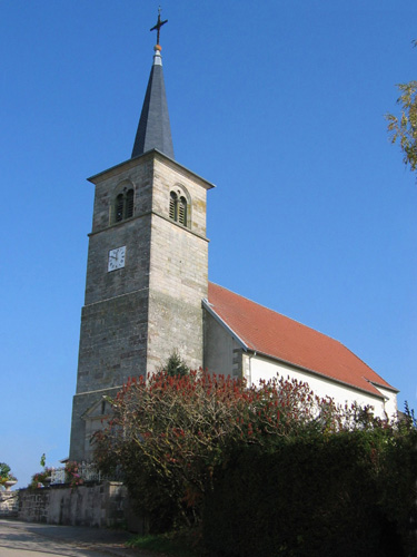
Chaumousey
- commune in Vosges, France
- Country:
- Postal Code: 88390
- Coordinates: 48° 10' 25" N, 6° 20' 8" E
- GPS tracks (wikiloc): [Link]
- Area: 8.71 sq km
- Population: 889

Dommartin-aux-Bois
- commune in Vosges, France
- Country:
- Postal Code: 88390
- Coordinates: 48° 9' 32" N, 6° 16' 29" E
- GPS tracks (wikiloc): [Link]
- Area: 15.7 sq km
- Population: 411


Renauvoid
- commune in Vosges, France
- Country:
- Postal Code: 88390
- Coordinates: 48° 8' 37" N, 6° 23' 0" E
- GPS tracks (wikiloc): [Link]
- AboveSeaLevel: 400 м m
- Area: 9.36 sq km
- Population: 117