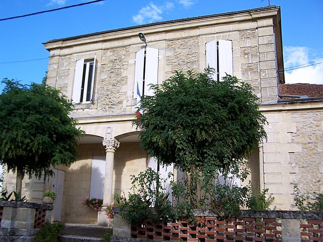
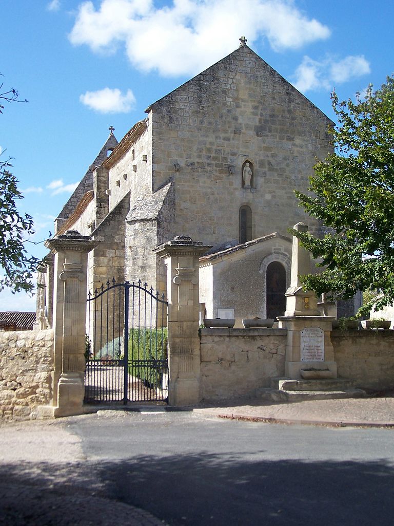
Gornac (Gornac)

- commune in Gironde, France
- Country:

- Postal Code: 33540
- Coordinates: 44° 39' 46" N, 0° 10' 54" E


- GPS tracks (wikiloc): [Link]
- Area: 8.35 sq km
- Population: 424
- Web site: http://www.gornac.com
- Wikipedia en: wiki(en)
- Wikipedia: wiki(fr)
- Wikidata storage: Wikidata: Q861815
- Wikipedia Commons Category: [Link]
- Freebase ID: [/m/03nrzmh]
- GeoNames ID: Alt: [6432241]
- SIREN number: [213301898]
- BnF ID: [15256241t]
- PACTOLS thesaurus ID: [pcrtSNmg6LTzSu]
- INSEE municipality code: 33189
Shares border with regions:


Saint-Martial
- commune in Gironde, France
- Country:
- Postal Code: 33490
- Coordinates: 44° 38' 15" N, 0° 10' 31" E
- GPS tracks (wikiloc): [Link]
- Area: 7.47 sq km
- Population: 252


Saint-Laurent-du-Bois
- commune in Gironde, France
- Country:
- Postal Code: 33540
- Coordinates: 44° 38' 8" N, 0° 8' 8" E
- GPS tracks (wikiloc): [Link]
- Area: 7.41 sq km
- Population: 258


Saint-Pierre-de-Bat
- commune in Gironde, France
- Country:
- Postal Code: 33760
- Coordinates: 44° 40' 24" N, 0° 13' 48" E
- GPS tracks (wikiloc): [Link]
- Area: 8.95 sq km
- Population: 318
- Web site: [Link]

Coirac
- commune in Gironde, France
- Country:
- Postal Code: 33540
- Coordinates: 44° 41' 29" N, 0° 10' 4" E
- GPS tracks (wikiloc): [Link]
- Area: 5.76 sq km
- Population: 204
- Web site: [Link]


Mourens
- commune in Gironde, France
- Country:
- Postal Code: 33410
- Coordinates: 44° 38' 56" N, 0° 12' 35" E
- GPS tracks (wikiloc): [Link]
- Area: 10.63 sq km
- Population: 385

Castelviel
- commune in Gironde, France
- Country:
- Postal Code: 33540
- Coordinates: 44° 40' 2" N, 0° 9' 12" E
- GPS tracks (wikiloc): [Link]
- Area: 8.02 sq km
- Population: 209
- Web site: [Link]


Cantois
- commune in Gironde, France
- Country:
- Postal Code: 33760
- Coordinates: 44° 41' 35" N, 0° 13' 53" E
- GPS tracks (wikiloc): [Link]
- Area: 8 sq km
- Population: 236