Gouville-sur-Mer (Gouville-sur-Mer)

- commune in Manche, France
- Country:

- Postal Code: 50560
- Coordinates: 49° 5' 50" N, 1° 34' 50" E


- GPS tracks (wikiloc): [Link]
- Area: 13.24 sq km
- Population: 2013
- Web site: http://www.gouville-sur-mer.fr
- Wikidata storage: Wikidata: Q1003071
- Wikipedia Commons Category: [Link]
- Freebase ID: [/m/03w9lvy]
- Freebase ID: [/m/03w9lvy]
- GeoNames ID: Alt: [3015458]
- GeoNames ID: Alt: [3015458]
- BnF ID: [15262192p]
- BnF ID: [15262192p]
- VIAF ID: Alt: [137837958]
- VIAF ID: Alt: [137837958]
- INSEE municipality code: 50215
- INSEE municipality code: 50215
Shares border with regions:


Brainville
- commune in Manche, France
- Country:
- Postal Code: 50200
- Coordinates: 49° 5' 10" N, 1° 29' 53" E
- GPS tracks (wikiloc): [Link]
- Area: 3.19 sq km
- Population: 226


Boisroger
- former commune in Manche, France
- Country:
- Postal Code: 50200
- Coordinates: 49° 5' 33" N, 1° 32' 20" E
- GPS tracks (wikiloc): [Link]
- Area: 5.3 sq km
- Population: 245

Servigny
- commune in Manche, France
- Country:
- Postal Code: 50200
- Coordinates: 49° 5' 37" N, 1° 28' 27" E
- GPS tracks (wikiloc): [Link]
- Area: 3.95 sq km
- Population: 196
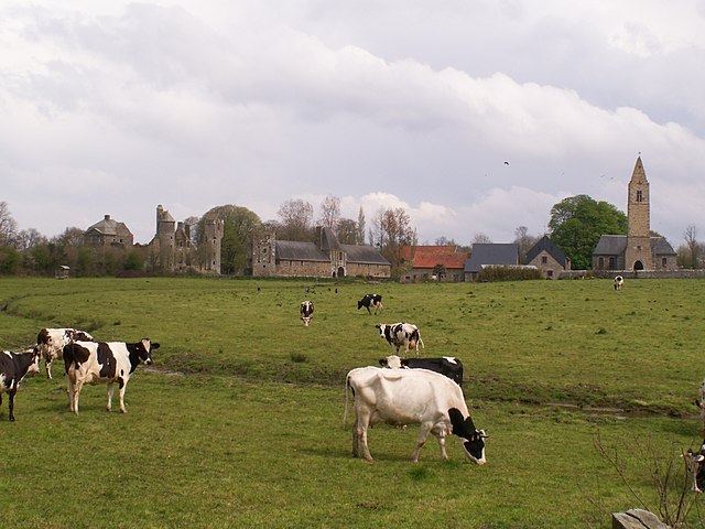
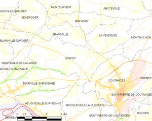
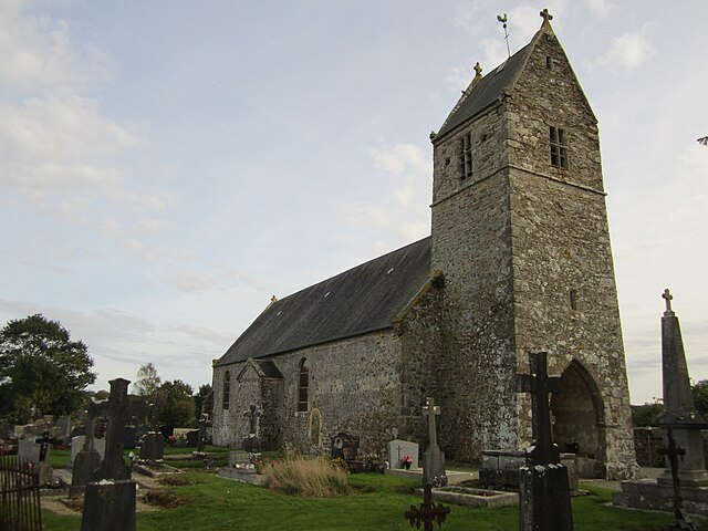
Gratot
- commune in Manche, France
- Country:
- Postal Code: 50200
- Coordinates: 49° 4' 7" N, 1° 29' 45" E
- GPS tracks (wikiloc): [Link]
- Area: 10.73 sq km
- Population: 646
- Web site: [Link]


Anneville-sur-Mer
- commune in Manche, France
- Country:
- Postal Code: 50560
- Coordinates: 49° 7' 6" N, 1° 34' 49" E
- GPS tracks (wikiloc): [Link]
- Area: 3.73 sq km
- Population: 241


Montsurvent
- commune in Manche, France
- Country:
- Postal Code: 50200
- Coordinates: 49° 6' 54" N, 1° 29' 52" E
- GPS tracks (wikiloc): [Link]
- Area: 8.33 sq km
- Population: 418


Blainville-sur-Mer
- commune in Manche, France
- Country:
- Postal Code: 50560
- Coordinates: 49° 4' 0" N, 1° 35' 1" E
- GPS tracks (wikiloc): [Link]
- Area: 11.6 sq km
- Population: 1634
- Web site: [Link]


Geffosses
- commune in Manche, France
- Country:
- Postal Code: 50560
- Coordinates: 49° 7' 52" N, 1° 33' 32" E
- GPS tracks (wikiloc): [Link]
- Area: 15.07 sq km
- Population: 429