Grignols (Grignols)

- commune in Dordogne, France
- Country:

- Postal Code: 24110
- Coordinates: 45° 4' 57" N, 0° 32' 26" E


- GPS tracks (wikiloc): [Link]
- AboveSeaLevel: 80 м m
- Area: 20.41 sq km
- Population: 648
- Web site: http://www.mairiedegrignols.com/
- Wikipedia en: wiki(en)
- Wikipedia: wiki(fr)
- Wikidata storage: Wikidata: Q1079265
- Wikipedia Commons Category: [Link]
- Freebase ID: [/m/03mg6hy]
- Freebase ID: [/m/03mg6hy]
- GeoNames ID: Alt: [6616158]
- GeoNames ID: Alt: [6616158]
- SIREN number: [212402051]
- SIREN number: [212402051]
- BnF ID: [15251852x]
- BnF ID: [15251852x]
- INSEE municipality code: 24205
- INSEE municipality code: 24205
Shares border with regions:


Neuvic
- commune in Dordogne, France
- Country:
- Postal Code: 24190
- Coordinates: 45° 6' 2" N, 0° 28' 8" E
- GPS tracks (wikiloc): [Link]
- Area: 25.82 sq km
- Population: 3539
- Web site: [Link]


Montrem
- commune in Dordogne, France
- Country:
- Postal Code: 24110
- Coordinates: 45° 9' 1" N, 0° 34' 28" E
- GPS tracks (wikiloc): [Link]
- Area: 20.15 sq km
- Population: 1260
- Web site: [Link]


Jaure
- commune in Dordogne, France
- Country:
- Postal Code: 24140
- Coordinates: 45° 3' 24" N, 0° 33' 14" E
- GPS tracks (wikiloc): [Link]
- AboveSeaLevel: 141 м m
- Area: 7.54 sq km
- Population: 168
- Web site: [Link]


Manzac-sur-Vern
- commune in Dordogne, France
- Country:
- Postal Code: 24110
- Coordinates: 45° 5' 14" N, 0° 35' 8" E
- GPS tracks (wikiloc): [Link]
- Area: 19.96 sq km
- Population: 596
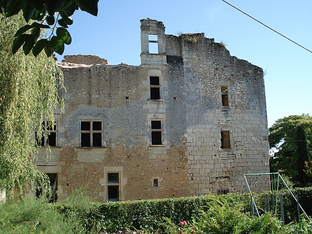
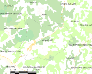
Villamblard
- commune in Dordogne, France
- Country:
- Postal Code: 24140
- Coordinates: 45° 1' 19" N, 0° 32' 24" E
- GPS tracks (wikiloc): [Link]
- Area: 20.43 sq km
- Population: 861
- Web site: [Link]
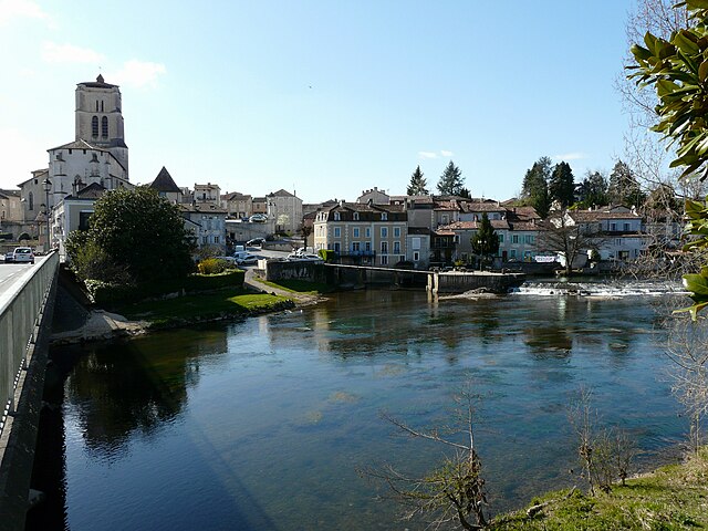

Saint-Astier
- commune in Dordogne, France
- Country:
- Postal Code: 24110
- Coordinates: 45° 8' 43" N, 0° 31' 41" E
- GPS tracks (wikiloc): [Link]
- Area: 34.25 sq km
- Population: 5530
- Web site: [Link]