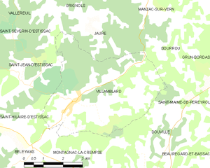
Villamblard (Villamblard)
- commune in Dordogne, France
- Country:

- Postal Code: 24140
- Coordinates: 45° 1' 19" N, 0° 32' 24" E


- GPS tracks (wikiloc): [Link]
- Area: 20.43 sq km
- Population: 861
- Web site: http://www.villamblard.fr
- Wikipedia en: wiki(en)
- Wikipedia: wiki(fr)
- Wikidata storage: Wikidata: Q202131
- Wikipedia Commons Category: [Link]
- Freebase ID: [/m/03mg93t]
- GeoNames ID: Alt: [2969020]
- SIREN number: [212405815]
- BnF ID: [152522217]
- VIAF ID: Alt: [130328831]
- Library of Congress authority ID: Alt: [n92083144]
- INSEE municipality code: 24581
Shares border with regions:
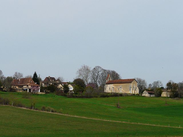
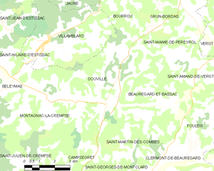
Douville
- commune in Dordogne, France
- Country:

- Postal Code: 24140
- Coordinates: 44° 59' 14" N, 0° 35' 38" E


- GPS tracks (wikiloc): [Link]
- Area: 19.91 sq km
- Population: 452


Bourrou
- commune in Dordogne, France
- Country:

- Postal Code: 24110
- Coordinates: 45° 2' 43" N, 0° 35' 50" E


- GPS tracks (wikiloc): [Link]
- Area: 9.13 sq km
- Population: 133


Saint-Jean-d'Estissac
- commune in Dordogne, France
- Country:

- Postal Code: 24140
- Coordinates: 45° 1' 46" N, 0° 30' 44" E


- GPS tracks (wikiloc): [Link]
- Area: 12.86 sq km
- Population: 168
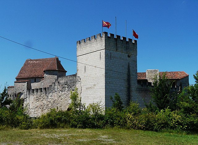

Grignols
- commune in Dordogne, France
- Country:

- Postal Code: 24110
- Coordinates: 45° 4' 57" N, 0° 32' 26" E


- GPS tracks (wikiloc): [Link]
- AboveSeaLevel: 80 м m
- Area: 20.41 sq km
- Population: 648
- Web site: [Link]


Beleymas
- commune in Dordogne, France
- Country:

- Postal Code: 24140
- Coordinates: 44° 59' 37" N, 0° 30' 20" E


- GPS tracks (wikiloc): [Link]
- Area: 16.07 sq km
- Population: 279
- Web site: [Link]


Jaure
- commune in Dordogne, France
- Country:

- Postal Code: 24140
- Coordinates: 45° 3' 24" N, 0° 33' 14" E


- GPS tracks (wikiloc): [Link]
- AboveSeaLevel: 141 м m
- Area: 7.54 sq km
- Population: 168
- Web site: [Link]


Saint-Hilaire-d'Estissac
- commune in Dordogne, France
- Country:

- Postal Code: 24140
- Coordinates: 45° 0' 48" N, 0° 30' 27" E


- GPS tracks (wikiloc): [Link]
- Area: 6.14 sq km
- Population: 108
- Web site: [Link]

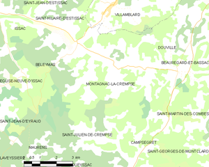
Montagnac-la-Crempse
- commune in Dordogne, France
- Country:

- Postal Code: 24140
- Coordinates: 44° 58' 52" N, 0° 32' 46" E


- GPS tracks (wikiloc): [Link]
- Area: 25.49 sq km
- Population: 381
