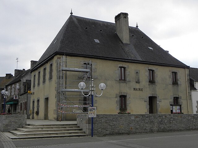
Guimaëc (Guimaëc)

- commune in Finistère, France
- Country:

- Postal Code: 29620
- Coordinates: 48° 40' 4" N, 3° 42' 29" E


- GPS tracks (wikiloc): [Link]
- Area: 18.73 sq km
- Population: 970
- Web site: http://www.guimaec.com
- Wikipedia en: wiki(en)
- Wikipedia: wiki(fr)
- Wikidata storage: Wikidata: Q224166
- Wikipedia Commons Category: [Link]
- Freebase ID: [/m/03gw0ff]
- GeoNames ID: Alt: [3014238]
- SIREN number: [212900732]
- BnF ID: [15254427b]
- INSEE municipality code: 29073
Shares border with regions:

Plouégat-Guérand
- commune in Finistère, France
- Country:
- Postal Code: 29620
- Coordinates: 48° 37' 16" N, 3° 40' 31" E
- GPS tracks (wikiloc): [Link]
- Area: 17.29 sq km
- Population: 1081


Lanmeur
- commune in Finistère, France
- Country:
- Postal Code: 29620
- Coordinates: 48° 38' 50" N, 3° 42' 55" E
- GPS tracks (wikiloc): [Link]
- Area: 26.47 sq km
- Population: 2187
- Web site: [Link]


Saint-Jean-du-Doigt
- commune in Finistère, France
- Country:
- Postal Code: 29630
- Coordinates: 48° 41' 40" N, 3° 46' 21" E
- GPS tracks (wikiloc): [Link]
- Area: 19.81 sq km
- Population: 636

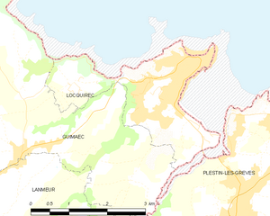
Locquirec
- commune in Finistère, France
- Country:
- Postal Code: 29241
- Coordinates: 48° 41' 27" N, 3° 38' 54" E
- GPS tracks (wikiloc): [Link]
- Area: 5.96 sq km
- Population: 1347
- Web site: [Link]


Plestin-les-Grèves
- commune in Côtes-d'Armor, France
- Country:
- Postal Code: 22310
- Coordinates: 48° 39' 25" N, 3° 37' 52" E
- GPS tracks (wikiloc): [Link]
- Area: 34.52 sq km
- Population: 3598
- Web site: [Link]