Gumond (Gumond)

- commune in Corrèze, France
- Country:

- Postal Code: 19320
- Coordinates: 45° 13' 14" N, 1° 58' 44" E


- GPS tracks (wikiloc): [Link]
- Area: 9.87 sq km
- Population: 96
- Wikipedia en: wiki(en)
- Wikipedia: wiki(fr)
- Wikidata storage: Wikidata: Q199081
- Wikipedia Commons Category: [Link]
- Freebase ID: [/m/03mfzcq]
- GeoNames ID: Alt: [6447544]
- SIREN number: [211909007]
- BnF ID: [15249726t]
- INSEE municipality code: 19090
Shares border with regions:

Saint-Paul
- commune in Corrèze, France
- Country:
- Postal Code: 19150
- Coordinates: 45° 13' 9" N, 1° 53' 43" E
- GPS tracks (wikiloc): [Link]
- Area: 14.1 sq km
- Population: 214

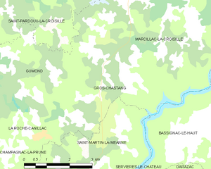
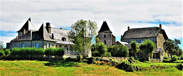
Gros-Chastang
- commune in Corrèze, France
- Country:
- Postal Code: 19320
- Coordinates: 45° 12' 55" N, 2° 0' 14" E
- GPS tracks (wikiloc): [Link]
- Area: 13.37 sq km
- Population: 178
- Web site: [Link]


Espagnac
- commune in Corrèze, France
- Country:
- Postal Code: 19150
- Coordinates: 45° 13' 48" N, 1° 53' 48" E
- GPS tracks (wikiloc): [Link]
- Area: 23.63 sq km
- Population: 371


Champagnac-la-Prune
- commune in Corrèze, France
- Country:
- Postal Code: 19320
- Coordinates: 45° 11' 9" N, 1° 57' 3" E
- GPS tracks (wikiloc): [Link]
- Area: 13.27 sq km
- Population: 163


La Roche-Canillac
- commune in Corrèze, France
- Country:
- Postal Code: 19320
- Coordinates: 45° 11' 43" N, 1° 58' 7" E
- GPS tracks (wikiloc): [Link]
- Area: 3.02 sq km
- Population: 150


Saint-Pardoux-la-Croisille
- commune in Corrèze, France
- Country:
- Postal Code: 19320
- Coordinates: 45° 14' 45" N, 1° 58' 56" E
- GPS tracks (wikiloc): [Link]
- Area: 16.36 sq km
- Population: 175
- Web site: [Link]