Saint-Paul (Saint-Paul)

- commune in Corrèze, France
- Country:

- Postal Code: 19150
- Coordinates: 45° 13' 9" N, 1° 53' 43" E


- GPS tracks (wikiloc): [Link]
- Area: 14.1 sq km
- Population: 214
- Wikipedia en: wiki(en)
- Wikipedia: wiki(fr)
- Wikidata storage: Wikidata: Q191242
- Wikipedia Commons Category: [Link]
- Freebase ID: [/m/03md4xl]
- GeoNames ID: Alt: [6453754]
- SIREN number: [211923503]
- BnF ID: [15249871x]
- Library of Congress authority ID: Alt: [nr92018805]
- INSEE municipality code: 19235
Shares border with regions:
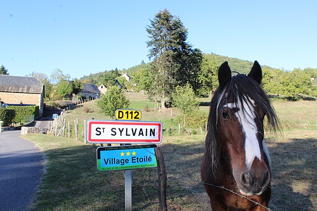

Saint-Sylvain
- commune in Corrèze, France
- Country:
- Postal Code: 19380
- Coordinates: 45° 10' 31" N, 1° 52' 32" E
- GPS tracks (wikiloc): [Link]
- Area: 7.49 sq km
- Population: 140


Gumond
- commune in Corrèze, France
- Country:
- Postal Code: 19320
- Coordinates: 45° 13' 14" N, 1° 58' 44" E
- GPS tracks (wikiloc): [Link]
- Area: 9.87 sq km
- Population: 96


Espagnac
- commune in Corrèze, France
- Country:
- Postal Code: 19150
- Coordinates: 45° 13' 48" N, 1° 53' 48" E
- GPS tracks (wikiloc): [Link]
- Area: 23.63 sq km
- Population: 371


Champagnac-la-Prune
- commune in Corrèze, France
- Country:
- Postal Code: 19320
- Coordinates: 45° 11' 9" N, 1° 57' 3" E
- GPS tracks (wikiloc): [Link]
- Area: 13.27 sq km
- Population: 163


Pandrignes
- commune in Corrèze, France
- Country:
- Postal Code: 19150
- Coordinates: 45° 13' 42" N, 1° 51' 16" E
- GPS tracks (wikiloc): [Link]
- Area: 8.45 sq km
- Population: 162


Marc-la-Tour
- commune in Corrèze, France
- Country:
- Postal Code: 19150
- Coordinates: 45° 12' 18" N, 1° 50' 41" E
- GPS tracks (wikiloc): [Link]
- Area: 6.59 sq km
- Population: 160