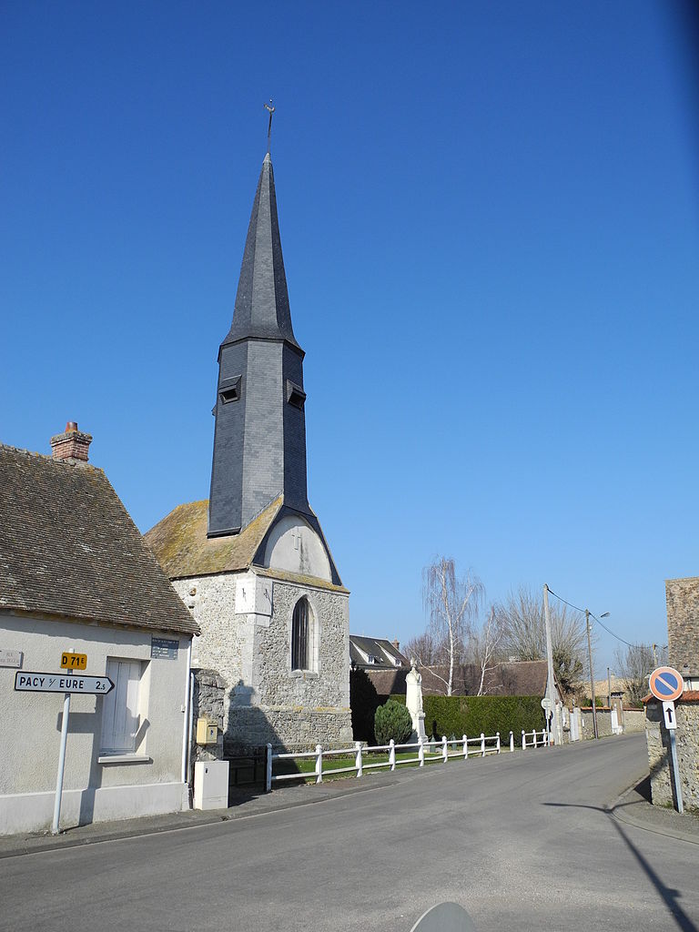
Hécourt (Hécourt)

- commune in Eure, France
- Country:

- Postal Code: 27120
- Coordinates: 48° 58' 42" N, 1° 25' 17" E


- GPS tracks (wikiloc): [Link]
- Area: 7.73 sq km
- Population: 347
- Wikipedia en: wiki(en)
- Wikipedia: wiki(fr)
- Wikidata storage: Wikidata: Q663349
- Wikipedia Commons Category: [Link]
- Freebase ID: [/m/03nqjtf]
- Freebase ID: [/m/03nqjtf]
- GeoNames ID: Alt: [6430433]
- GeoNames ID: Alt: [6430433]
- SIREN number: [212703268]
- SIREN number: [212703268]
- INSEE municipality code: 27326
- INSEE municipality code: 27326
Shares border with regions:


Chaignes
- commune in Eure, France
- Country:
- Postal Code: 27120
- Coordinates: 49° 0' 59" N, 1° 26' 24" E
- GPS tracks (wikiloc): [Link]
- Area: 6.41 sq km
- Population: 276
Aigleville
- commune in Eure, France
- Country:
- Postal Code: 27120
- Coordinates: 49° 0' 27" N, 1° 25' 13" E
- GPS tracks (wikiloc): [Link]
- Area: 3.24 sq km
- Population: 389


Merey
- commune in Eure, France
- Country:
- Postal Code: 27640
- Coordinates: 48° 57' 57" N, 1° 24' 26" E
- GPS tracks (wikiloc): [Link]
- Area: 8.66 sq km
- Population: 345


Gadencourt
- commune in Eure, France
- Country:
- Postal Code: 27120
- Coordinates: 48° 58' 57" N, 1° 24' 9" E
- GPS tracks (wikiloc): [Link]
- Area: 3.89 sq km
- Population: 383


Breuilpont
- commune in Eure, France
- Country:
- Postal Code: 27640
- Coordinates: 48° 57' 48" N, 1° 25' 35" E
- GPS tracks (wikiloc): [Link]
- Area: 12.21 sq km
- Population: 1197


Pacy-sur-Eure
- former commune in Eure, France
- Country:
- Postal Code: 27120
- Coordinates: 49° 0' 57" N, 1° 22' 55" E
- GPS tracks (wikiloc): [Link]
- Area: 13.53 sq km
- Population: 4556
- Web site: [Link]

Fains
- commune in Eure, France
- Country:
- Postal Code: 27120
- Coordinates: 48° 59' 47" N, 1° 23' 14" E
- GPS tracks (wikiloc): [Link]
- Area: 3.77 sq km
- Population: 405