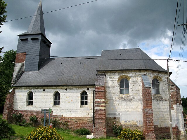
Hénencourt (Hénencourt)

- commune in Somme, France
- Country:

- Postal Code: 80300
- Coordinates: 50° 0' 9" N, 2° 33' 52" E


- GPS tracks (wikiloc): [Link]
- Area: 3.26 sq km
- Population: 195
- Wikipedia en: wiki(en)
- Wikipedia: wiki(fr)
- Wikidata storage: Wikidata: Q545491
- Wikipedia Commons Category: [Link]
- Freebase ID: [/m/03qhvft]
- GeoNames ID: Alt: [6444531]
- SIREN number: [218004117]
- BnF ID: [15276909p]
- INSEE municipality code: 80429
Shares border with regions:

Bresle
- commune in Somme, France
- Country:
- Postal Code: 80300
- Coordinates: 49° 59' 2" N, 2° 33' 26" E
- GPS tracks (wikiloc): [Link]
- Area: 3.54 sq km
- Population: 124

Millencourt
- commune in Somme, France
- Country:
- Postal Code: 80300
- Coordinates: 50° 0' 5" N, 2° 35' 11" E
- GPS tracks (wikiloc): [Link]
- Area: 5.79 sq km
- Population: 216
- Web site: [Link]

Senlis-le-Sec
- commune in Somme, France
- Country:
- Postal Code: 80300
- Coordinates: 50° 1' 31" N, 2° 34' 42" E
- GPS tracks (wikiloc): [Link]
- Area: 8.28 sq km
- Population: 295


Laviéville
- commune in Somme, France
- Country:
- Postal Code: 80300
- Coordinates: 49° 59' 28" N, 2° 34' 33" E
- GPS tracks (wikiloc): [Link]
- Area: 2.15 sq km
- Population: 172
- Web site: [Link]


Warloy-Baillon
- commune in Somme, France
- Country:
- Postal Code: 80300
- Coordinates: 50° 0' 36" N, 2° 31' 25" E
- GPS tracks (wikiloc): [Link]
- Area: 15.27 sq km
- Population: 769