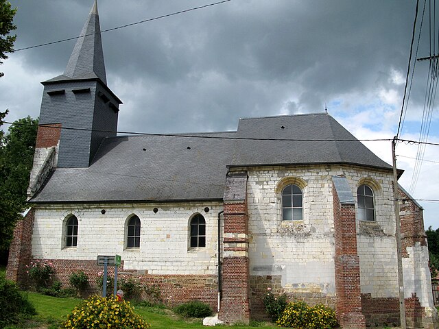
Laviéville (Laviéville)

- commune in Somme, France
- Country:

- Postal Code: 80300
- Coordinates: 49° 59' 28" N, 2° 34' 33" E


- GPS tracks (wikiloc): [Link]
- Area: 2.15 sq km
- Population: 172
- Web site: http://www.paysducoquelicot.com/lavieville.htm
- Wikipedia en: wiki(en)
- Wikipedia: wiki(fr)
- Wikidata storage: Wikidata: Q781209
- Wikipedia Commons Category: [Link]
- Freebase ID: [/m/03qkhr0]
- GeoNames ID: Alt: [6444561]
- SIREN number: [218004463]
- BnF ID: [152769477]
- INSEE municipality code: 80468
Shares border with regions:


Buire-sur-l'Ancre
- commune in Somme, France
- Country:
- Postal Code: 80300
- Coordinates: 49° 57' 54" N, 2° 35' 32" E
- GPS tracks (wikiloc): [Link]
- Area: 5.28 sq km
- Population: 309
- Web site: [Link]

Bresle
- commune in Somme, France
- Country:
- Postal Code: 80300
- Coordinates: 49° 59' 2" N, 2° 33' 26" E
- GPS tracks (wikiloc): [Link]
- Area: 3.54 sq km
- Population: 124

Millencourt
- commune in Somme, France
- Country:
- Postal Code: 80300
- Coordinates: 50° 0' 5" N, 2° 35' 11" E
- GPS tracks (wikiloc): [Link]
- Area: 5.79 sq km
- Population: 216
- Web site: [Link]


Hénencourt
- commune in Somme, France
- Country:
- Postal Code: 80300
- Coordinates: 50° 0' 9" N, 2° 33' 52" E
- GPS tracks (wikiloc): [Link]
- Area: 3.26 sq km
- Population: 195


Ribemont-sur-Ancre
- commune in Somme, France
- Country:
- Postal Code: 80800
- Coordinates: 49° 57' 36" N, 2° 33' 56" E
- GPS tracks (wikiloc): [Link]
- AboveSeaLevel: 39 м m
- Area: 9.23 sq km
- Population: 650