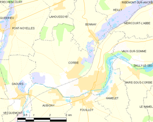
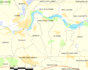
Hamelet (Hamelet)
- commune in Somme, France
- Country:

- Postal Code: 80800
- Coordinates: 49° 54' 19" N, 2° 31' 43" E


- GPS tracks (wikiloc): [Link]
- Area: 5.93 sq km
- Population: 622
- Wikipedia en: wiki(en)
- Wikipedia: wiki(fr)
- Wikidata storage: Wikidata: Q733500
- Wikipedia Commons Category: [Link]
- Freebase ID: [/m/03nxbkg]
- GeoNames ID: Alt: [6444515]
- SIREN number: [218003945]
- BnF ID: [15276892s]
- INSEE municipality code: 80412
Shares border with regions:


Lamotte-Warfusée
- commune in Somme, France
- Country:

- Postal Code: 80800
- Coordinates: 49° 52' 17" N, 2° 35' 44" E


- GPS tracks (wikiloc): [Link]
- AboveSeaLevel: 77 м m
- Area: 9.36 sq km
- Population: 705
- Web site: [Link]


Fouilloy
- commune in Somme, France
- Country:

- Postal Code: 80800
- Coordinates: 49° 53' 58" N, 2° 30' 13" E


- GPS tracks (wikiloc): [Link]
- Area: 5.73 sq km
- Population: 1856
- Web site: [Link]


Villers-Bretonneux
- commune in Somme, France
- Country:

- Postal Code: 80380
- Coordinates: 49° 52' 1" N, 2° 31' 12" E


- GPS tracks (wikiloc): [Link]
- Area: 14.51 sq km
- Population: 4387
- Web site: [Link]


Corbie
- commune in Somme, France
- Country:

- Postal Code: 80800
- Coordinates: 49° 54' 32" N, 2° 30' 26" E


- GPS tracks (wikiloc): [Link]
- Area: 16.25 sq km
- Population: 6293
- Web site: [Link]


Vaire-sous-Corbie
- commune in Somme, France
- Country:

- Postal Code: 80800
- Coordinates: 49° 54' 58" N, 2° 32' 43" E


- GPS tracks (wikiloc): [Link]
- Area: 6.74 sq km
- Population: 281
