Harmannsdorf (Harmannsdorf)
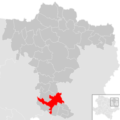
- municipality in Austria
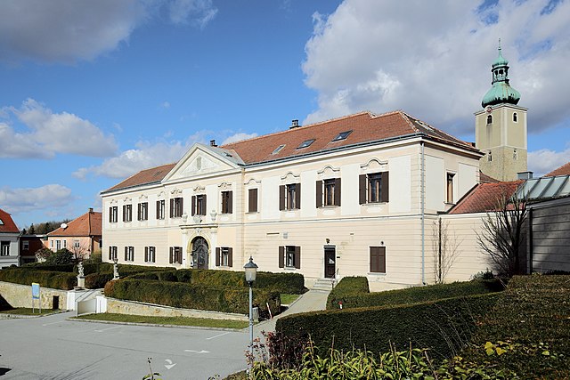
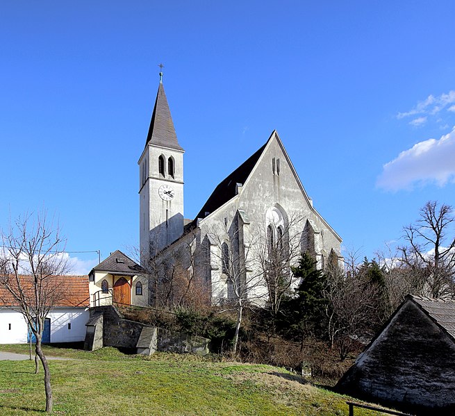
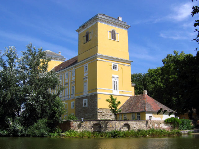
Harmannsdorf is a quaint village in Austria, located close to the larger city of Vienna. The surrounding areas offer a variety of hiking opportunities that cater to different skill levels, from leisurely walks to more challenging hikes.
When planning a hiking trip in Harmannsdorf, consider the following:
Hiking Trails:
- Local Nature Trails: There are several marked nature trails winding through forests and fields, perfect for a family outing or a casual hike.
- Wine Routes: Since the region is known for its vineyards, exploring the scenic wine routes can offer beautiful views, especially in autumn when the foliage changes colors.
- Nearby Parks: The surrounding natural parks provide trails with varied terrain, where you can enjoy diverse flora and fauna.
Tips for Hiking in Harmannsdorf:
- Weather Check: Always check the weather conditions before heading out, as they can change quickly in rural areas.
- Proper Gear: Wear appropriate hiking shoes and bring plenty of water. Depending on the trail, consider bringing snacks, a map, and possibly trekking poles if the terrain is uneven.
- Stay on Marked Trails: To preserve the natural environment and ensure your safety, stick to designated paths.
- Local Regulations: Be aware of any local regulations or restrictions, such as guidelines for wildlife or altitude considerations.
Scenic Highlights:
- Vineyard Views: Many trails offer breathtaking views of the surrounding vineyards and rolling countryside.
- Cultural Landmarks: Look for opportunities to combine your hike with visits to historical sites or local attractions.
Community Resources:
- Visitor Centers: Check in with local tourist information centers for updated trail maps, guided hikes, and recommendations from locals.
- Local Guides: If you're new to the area or want a more in-depth experience, consider hiring a local guide who knows the trails well.
Safety:
- Trail Difficulty: Make sure to assess the difficulty of the trails and choose one that matches your skill level.
- Group Hiking: If possible, hike with a group or a friend for added safety.
- Cell Service: While many areas in Austria have good cell service, some remote spots may not. So, it's advisable to inform someone of your plans.
Enjoy your hiking adventure in and around Harmannsdorf! It's a great way to experience the region's natural beauty and charm.
- Country:

- Postal Code: 2111
- Local Dialing Code: 02264
- Licence Plate Code: KO
- Coordinates: 48° 23' 30" N, 16° 22' 16" E


- GPS tracks (wikiloc): [Link]
- AboveSeaLevel: 180 м m
- Area: 55.54 sq km
- Population: 3951
- Web site: http://www.harmannsdorf.gv.at
- Wikipedia en: wiki(en)
- Wikipedia: wiki(de)
- Wikidata storage: Wikidata: Q676607
- Wikipedia Commons Category: [Link]
- Freebase ID: [/m/02q0rw_]
- GeoNames ID: Alt: [7871788]
- VIAF ID: Alt: [128744768]
- archINFORM location ID: [11233]
- MusicBrainz area ID: [e748c90a-b307-4ae7-acf5-c230efe4e50e]
- Austrian municipality key: [31207]
Shares border with regions:


Großebersdorf
- municipality in Austria
Großebersdorf is a small municipality in Austria, located northeast of Vienna. While it may not be as well-known as some of the more popular hiking destinations in the region, it offers potential for day hikes in a picturesque rural setting. Here are some points to consider for hiking in and around Großebersdorf:...
- Country:

- Postal Code: 2203
- Local Dialing Code: 02245
- Licence Plate Code: MI
- Coordinates: 48° 21' 44" N, 16° 28' 9" E


- GPS tracks (wikiloc): [Link]
- AboveSeaLevel: 193 м m
- Area: 18.03 sq km
- Population: 2236
- Web site: [Link]


Leobendorf
- municipality in Austria
Leobendorf, located in Lower Austria near the Danube River, offers a variety of hiking opportunities for outdoor enthusiasts. Here are some key points about hiking in the area:...
- Country:

- Postal Code: 2100
- Local Dialing Code: 02262
- Licence Plate Code: KO
- Coordinates: 48° 22' 39" N, 16° 19' 10" E


- GPS tracks (wikiloc): [Link]
- AboveSeaLevel: 187 м m
- Area: 29.94 sq km
- Population: 4847
- Web site: [Link]

Kreuttal
- municipality in Austria
Kreuttal is a picturesque valley located in Austria, known for its stunning landscapes, diverse flora and fauna, and well-marked hiking trails. If you're considering a hiking trip in Kreuttal, here are some key points to keep in mind:...
- Country:

- Postal Code: 2123
- Local Dialing Code: 02245
- Licence Plate Code: MI
- Coordinates: 48° 26' 0" N, 16° 29' 0" E


- GPS tracks (wikiloc): [Link]
- AboveSeaLevel: 207 м m
- Area: 21.51 sq km
- Population: 1429
- Web site: [Link]

Ulrichskirchen-Schleinbach
- municipality in Austria
 Hiking in Ulrichskirchen-Schleinbach
Ulrichskirchen-Schleinbach, located in Austria, is a charming area characterized by rolling hills, lush landscapes, and scenic views. While it might not be the most famous hiking destination, it offers several opportunities for hiking enthusiasts to explore the natural beauty of the region....
- Country:

- Postal Code: 2122
- Local Dialing Code: 02245
- Licence Plate Code: MI
- Coordinates: 48° 24' 3" N, 16° 29' 28" E


- GPS tracks (wikiloc): [Link]
- AboveSeaLevel: 192 м m
- Area: 26.52 sq km
- Population: 2630
- Web site: [Link]

Großrußbach
- municipality in Austria
Großrußbach, a charming village in Lower Austria, is an excellent destination for hiking enthusiasts. Nestled in the picturesque landscapes of the Weinviertel region, it offers a mix of scenic trails, lovely vineyards, and an abundance of natural beauty....
- Country:

- Postal Code: 2114
- Local Dialing Code: 02263
- Licence Plate Code: KO
- Coordinates: 48° 28' 22" N, 16° 24' 55" E


- GPS tracks (wikiloc): [Link]
- AboveSeaLevel: 291 м m
- Area: 32.74 sq km
- Population: 2194
- Web site: [Link]

Stetten
- municipality in Austria
Stetten, Austria, is a charming village located in the beautiful region of Lower Austria. The surrounding landscape is characterized by rolling hills, lush forests, and scenic views, making it an excellent destination for hiking enthusiasts. Here are some details about hiking in and around Stetten:...
- Country:

- Postal Code: 2100
- Local Dialing Code: 02262
- Licence Plate Code: KO
- Coordinates: 48° 22' 4" N, 16° 22' 58" E


- GPS tracks (wikiloc): [Link]
- AboveSeaLevel: 180 м m
- Area: 7.73 sq km
- Population: 1357
- Web site: [Link]

Niederhollabrunn
- municipality in Austria
Niederhollabrunn is a charming village located in Lower Austria, not far from the Danube River. While it may not be as renowned as some larger hiking destinations, it offers several opportunities for outdoor enthusiasts, including scenic trails that highlight the region's natural beauty and cultural heritage....
- Country:

- Postal Code: 2004
- Local Dialing Code: 02269
- Licence Plate Code: KO
- Coordinates: 48° 26' 55" N, 16° 18' 5" E


- GPS tracks (wikiloc): [Link]
- AboveSeaLevel: 242 м m
- Area: 50.36 sq km
- Population: 1534
- Web site: [Link]


Wolkersdorf im Weinviertel
- municipality in Austria
 Hiking in Wolkersdorf im Weinviertel
Wolkersdorf im Weinviertel, located in the Lower Austria region, offers several charming hiking opportunities that showcase the beautiful landscapes of the Weinviertel wine region. Here are some key highlights and tips for hiking in this area:...
- Country:

- Postal Code: 2120
- Local Dialing Code: 02245
- Licence Plate Code: MI
- Coordinates: 48° 22' 0" N, 16° 31' 0" E


- GPS tracks (wikiloc): [Link]
- AboveSeaLevel: 178 м m
- Area: 44.38 sq km
- Population: 7201
- Web site: [Link]