Leobendorf (Leobendorf)
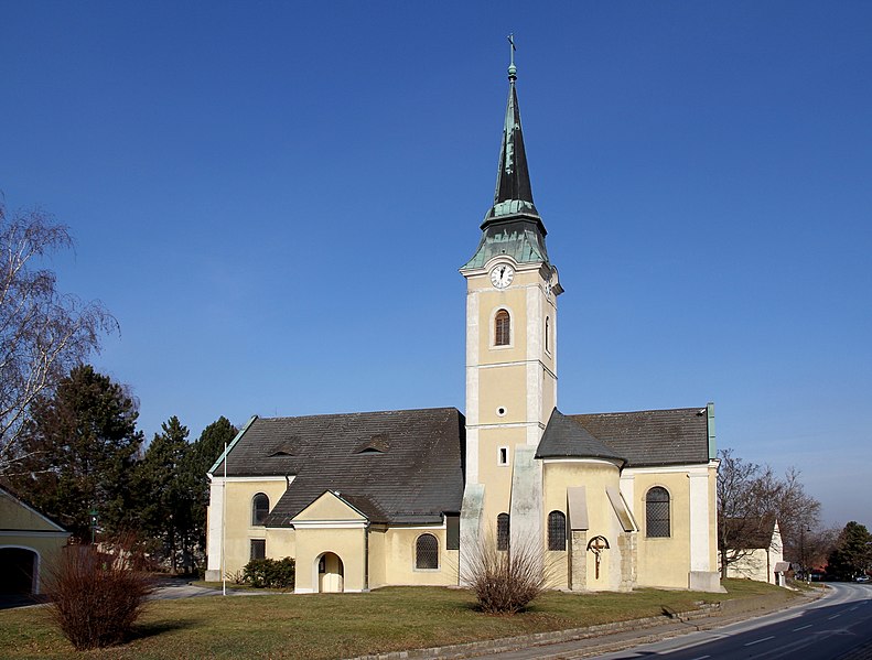
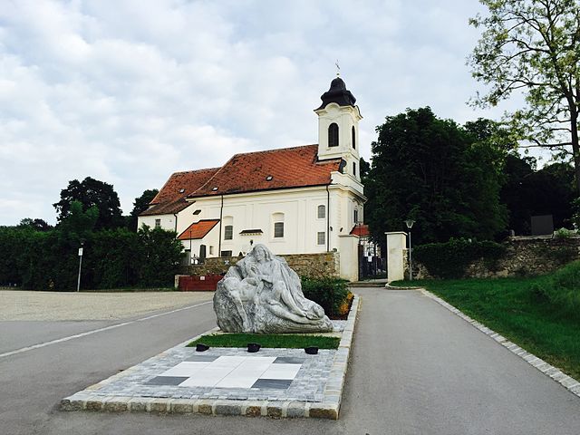
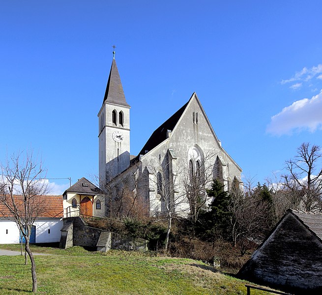
- municipality in Austria
Leobendorf, located in Lower Austria near the Danube River, offers a variety of hiking opportunities for outdoor enthusiasts. Here are some key points about hiking in the area:
Scenic Trails
- Danube River Trails: The trails along the Danube River provide beautiful views of the waterway, lush landscapes, and opportunities for birdwatching.
- Wilderness and Nature Reserves: The surrounding regions may include nature reserves where hikers can enjoy diverse flora and fauna.
Trail Difficulty
- There is a range of trail difficulties in and around Leobendorf, catering to both beginners and experienced hikers. Be sure to check trail descriptions for specific difficulty ratings.
Local Flora and Fauna
- The area is rich in biodiversity. While hiking, you may encounter various wildflowers, trees, and wildlife typical of the Austrian countryside.
Accessibility
- Many trails in and around Leobendorf are well-marked and maintained. Public transportation options make it easier for hikers to access starting points.
Tips for Hikers
- Stay Hydrated: Bring enough water, especially during the warmer months.
- Wear Appropriate Footwear: Good hiking boots or shoes are crucial for navigating different terrains.
- Check Weather Conditions: Always check the local weather forecast before heading out.
- Follow Markings: Stick to marked trails to protect the environment and ensure personal safety.
Additional Activities
- Besides hiking, the area may offer recreational activities such as cycling or exploring historical sites, including nearby castles and villages.
If you wish to plan a specific hike, consider reaching out to local hiking clubs or tourism offices for maps and additional information regarding current trail conditions. Happy hiking!
- Country:

- Postal Code: 2100
- Local Dialing Code: 02262
- Licence Plate Code: KO
- Coordinates: 48° 22' 39" N, 16° 19' 10" E


- GPS tracks (wikiloc): [Link]
- AboveSeaLevel: 187 м m
- Area: 29.94 sq km
- Population: 4847
- Web site: http://www.leobendorf.at/
- Wikipedia en: wiki(en)
- Wikipedia: wiki(de)
- Wikidata storage: Wikidata: Q162982
- Wikipedia Commons Category: [Link]
- Freebase ID: [/m/02qxb1d]
- GeoNames ID: Alt: [2772646]
- VIAF ID: Alt: [148439910]
- GND ID: Alt: [4258925-3]
- archINFORM location ID: [10083]
- MusicBrainz area ID: [cb97002f-627a-4802-8101-5dad27837827]
- Austrian municipality key: [31216]
Shares border with regions:


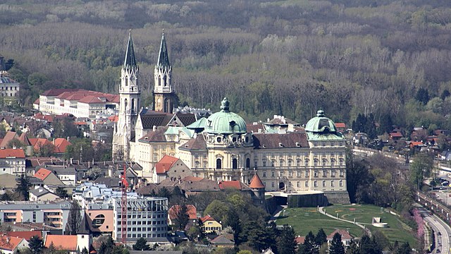
Klosterneuburg
- town in Lower Austria
Klosterneuburg, located just north of Vienna, Austria, offers a variety of beautiful hiking trails that cater to different skill levels and preferences. The region is characterized by its picturesque landscapes, historical sites, and proximity to the Vienna Woods (Wienerwald). Here are some highlights and tips for hiking in Klosterneuburg:...
- Country:

- Local Dialing Code: 02243
- Licence Plate Code: WU
- Coordinates: 48° 18' 15" N, 16° 19' 0" E


- GPS tracks (wikiloc): [Link]
- AboveSeaLevel: 192 м m
- Area: 76.2 sq km
- Population: 27058

Korneuburg
- municipality in Austria
Korneuburg, located just northeast of Vienna, Austria, offers some beautiful hiking opportunities with a mix of scenic landscapes, vineyards, and historical sites. Here are some highlights and tips for hiking in the Korneuburg region:...
- Country:

- Postal Code: 2100
- Local Dialing Code: 02262
- Licence Plate Code: KO
- Coordinates: 48° 20' 43" N, 16° 19' 59" E


- GPS tracks (wikiloc): [Link]
- AboveSeaLevel: 168 м m
- Area: 9.77 sq km
- Population: 12986
- Web site: [Link]

Bisamberg
- municipality in Austria
Bisamberg is a picturesque hill located just northeast of Vienna, Austria. It offers a variety of hiking trails that cater to different skill levels, making it a great destination for both casual walkers and more experienced hikers. Here are some key points to consider when hiking in Bisamberg:...
- Country:

- Postal Code: 2102
- Local Dialing Code: 02262
- Licence Plate Code: KO
- Coordinates: 48° 19' 53" N, 16° 21' 41" E


- GPS tracks (wikiloc): [Link]
- AboveSeaLevel: 192 м m
- Area: 10.74 sq km
- Population: 4729
- Web site: [Link]


Leitzersdorf
- municipality in Austria
Leitzersdorf, located in Austria, is known for its beautiful landscapes and hiking opportunities. The area is characterized by rolling hills, forests, and scenic views, making it an excellent destination for outdoor enthusiasts....
- Country:

- Postal Code: 2003
- Local Dialing Code: 02266
- Licence Plate Code: KO
- Coordinates: 48° 25' 8" N, 16° 14' 43" E


- GPS tracks (wikiloc): [Link]
- AboveSeaLevel: 227 м m
- Area: 27.87 sq km
- Population: 1204
- Web site: [Link]

Hagenbrunn
- municipality in Austria
Hagenbrunn is a picturesque area located in Austria, near the city of Vienna. It's a relatively quiet place, making it a perfect destination for hiking enthusiasts looking to escape the hustle and bustle of city life....
- Country:

- Postal Code: 2102
- Licence Plate Code: KO
- Coordinates: 48° 19' 59" N, 16° 24' 20" E


- GPS tracks (wikiloc): [Link]
- AboveSeaLevel: 216 м m
- Area: 13.49 sq km
- Population: 2227
- Web site: [Link]

Harmannsdorf
- municipality in Austria
Harmannsdorf is a quaint village in Austria, located close to the larger city of Vienna. The surrounding areas offer a variety of hiking opportunities that cater to different skill levels, from leisurely walks to more challenging hikes....
- Country:

- Postal Code: 2111
- Local Dialing Code: 02264
- Licence Plate Code: KO
- Coordinates: 48° 23' 30" N, 16° 22' 16" E


- GPS tracks (wikiloc): [Link]
- AboveSeaLevel: 180 м m
- Area: 55.54 sq km
- Population: 3951
- Web site: [Link]

Stetten
- municipality in Austria
Stetten, Austria, is a charming village located in the beautiful region of Lower Austria. The surrounding landscape is characterized by rolling hills, lush forests, and scenic views, making it an excellent destination for hiking enthusiasts. Here are some details about hiking in and around Stetten:...
- Country:

- Postal Code: 2100
- Local Dialing Code: 02262
- Licence Plate Code: KO
- Coordinates: 48° 22' 4" N, 16° 22' 58" E


- GPS tracks (wikiloc): [Link]
- AboveSeaLevel: 180 м m
- Area: 7.73 sq km
- Population: 1357
- Web site: [Link]

Niederhollabrunn
- municipality in Austria
Niederhollabrunn is a charming village located in Lower Austria, not far from the Danube River. While it may not be as renowned as some larger hiking destinations, it offers several opportunities for outdoor enthusiasts, including scenic trails that highlight the region's natural beauty and cultural heritage....
- Country:

- Postal Code: 2004
- Local Dialing Code: 02269
- Licence Plate Code: KO
- Coordinates: 48° 26' 55" N, 16° 18' 5" E


- GPS tracks (wikiloc): [Link]
- AboveSeaLevel: 242 м m
- Area: 50.36 sq km
- Population: 1534
- Web site: [Link]

Spillern
- municipality in Austria
Spillern, located in the Lower Austria region, is a charming area that offers excellent opportunities for hiking. Nestled near the Vienna Woods, it features a variety of trails suitable for different skill levels. Here are some highlights for hiking in this area:...
- Country:

- Postal Code: 2104
- Local Dialing Code: 02266
- Licence Plate Code: KO
- Coordinates: 48° 22' 40" N, 16° 15' 28" E


- GPS tracks (wikiloc): [Link]
- AboveSeaLevel: 170 м m
- Area: 12.71 sq km
- Population: 2222
- Web site: [Link]

