Hautefage-la-Tour (Hautefage-la-Tour)

- commune in Lot-et-Garonne, France
- Country:

- Postal Code: 47340
- Coordinates: 44° 19' 19" N, 0° 47' 4" E


- GPS tracks (wikiloc): [Link]
- Area: 20.75 sq km
- Population: 928
- Web site: http://www.hautefage-la-tour.fr
- Wikipedia en: wiki(en)
- Wikipedia: wiki(fr)
- Wikidata storage: Wikidata: Q225753
- Wikipedia Commons Category: [Link]
- Freebase ID: [/m/03qm1n7]
- GeoNames ID: Alt: [6434963]
- SIREN number: [214701179]
- BnF ID: [15261198h]
- INSEE municipality code: 47117
Shares border with regions:


Cassignas
- commune in Lot-et-Garonne, France
- Country:
- Postal Code: 47340
- Coordinates: 44° 18' 0" N, 0° 47' 17" E
- GPS tracks (wikiloc): [Link]
- Area: 7.86 sq km
- Population: 123


Saint-Antoine-de-Ficalba
- commune in Lot-et-Garonne, France
- Country:
- Postal Code: 47340
- Coordinates: 44° 19' 55" N, 0° 42' 58" E
- GPS tracks (wikiloc): [Link]
- Area: 10.93 sq km
- Population: 714
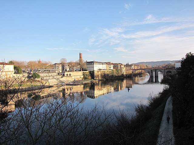
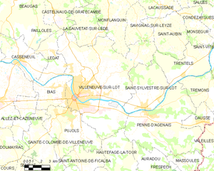
Villeneuve-sur-Lot
- commune in Lot-et-Garonne, France
- Country:
- Postal Code: 47300
- Coordinates: 44° 24' 25" N, 0° 42' 15" E
- GPS tracks (wikiloc): [Link]
- AboveSeaLevel: 55 м m
- Area: 81.32 sq km
- Population: 22686
- Web site: [Link]


Monbalen
- commune in Lot-et-Garonne, France
- Country:
- Postal Code: 47340
- Coordinates: 44° 18' 47" N, 0° 44' 19" E
- GPS tracks (wikiloc): [Link]
- Area: 13 sq km
- Population: 427

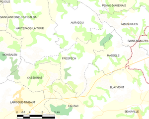
Frespech
- commune in Lot-et-Garonne, France
- Country:
- Postal Code: 47140
- Coordinates: 44° 18' 36" N, 0° 49' 29" E
- GPS tracks (wikiloc): [Link]
- Area: 11.7 sq km
- Population: 314


Penne-d'Agenais
- commune in Lot-et-Garonne, France
- Country:
- Postal Code: 47140
- Coordinates: 44° 23' 19" N, 0° 49' 8" E
- GPS tracks (wikiloc): [Link]
- Area: 46.71 sq km
- Population: 2347
- Web site: [Link]

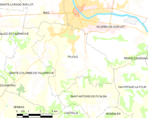
Pujols
- commune in Lot-et-Garonne, France
- Country:
- Postal Code: 47300
- Coordinates: 44° 23' 8" N, 0° 41' 18" E
- GPS tracks (wikiloc): [Link]
- Area: 24.98 sq km
- Population: 3623
- Web site: [Link]


Auradou
- commune in Lot-et-Garonne, France
- Country:
- Postal Code: 47140
- Coordinates: 44° 20' 2" N, 0° 48' 39" E
- GPS tracks (wikiloc): [Link]
- Area: 11.17 sq km
- Population: 379