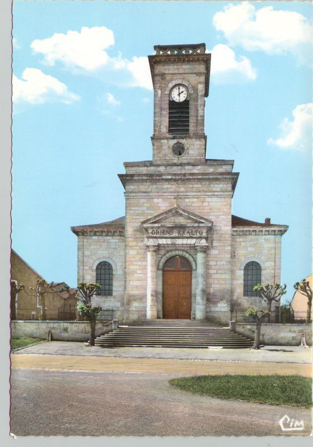
Herbeuville (Herbeuville)

- commune in Meuse, France
- Country:

- Postal Code: 55210
- Coordinates: 49° 2' 44" N, 5° 38' 12" E


- GPS tracks (wikiloc): [Link]
- Area: 6.71 sq km
- Population: 186
- Web site: http://herbeuville.com
- Wikipedia en: wiki(en)
- Wikipedia: wiki(fr)
- Wikidata storage: Wikidata: Q223583
- Wikipedia Commons Category: [Link]
- Freebase ID: [/m/03qdrdc]
- GeoNames ID: Alt: [6437040]
- SIREN number: [215502436]
- BnF ID: [152649090]
- INSEE municipality code: 55243
Shares border with regions:


Combres-sous-les-Côtes
- commune in Meuse, France
- Country:
- Postal Code: 55160
- Coordinates: 49° 3' 32" N, 5° 37' 28" E
- GPS tracks (wikiloc): [Link]
- Area: 5.06 sq km
- Population: 118

Hannonville-sous-les-Côtes
- commune in Meuse, France
- Country:
- Postal Code: 55210
- Coordinates: 49° 2' 25" N, 5° 39' 31" E
- GPS tracks (wikiloc): [Link]
- AboveSeaLevel: 241 м m
- Area: 15.71 sq km
- Population: 605


Saulx-lès-Champlon
- commune in Meuse, France
- Country:
- Postal Code: 55160
- Coordinates: 49° 4' 17" N, 5° 39' 15" E
- GPS tracks (wikiloc): [Link]
- AboveSeaLevel: 225 м m
- Area: 7.81 sq km
- Population: 123

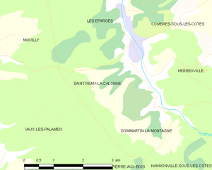
Saint-Remy-la-Calonne
- commune in Meuse, France
- Country:
- Postal Code: 55160
- Coordinates: 49° 2' 48" N, 5° 36' 5" E
- GPS tracks (wikiloc): [Link]
- Area: 8.04 sq km
- Population: 108


Dommartin-la-Montagne
- commune in Meuse, France
- Country:
- Postal Code: 55160
- Coordinates: 49° 1' 53" N, 5° 36' 30" E
- GPS tracks (wikiloc): [Link]
- Area: 6.77 sq km
- Population: 54

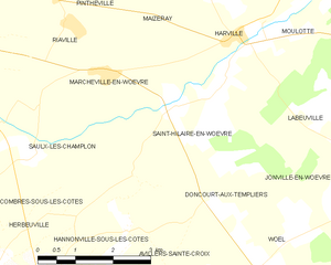
Saint-Hilaire-en-Woëvre
- commune in Meuse, France
- Country:
- Postal Code: 55160
- Coordinates: 49° 4' 53" N, 5° 42' 17" E
- GPS tracks (wikiloc): [Link]
- Area: 11.12 sq km
- Population: 173