Hersin-Coupigny (Hersin-Coupigny)

- commune in Pas-de-Calais, France
- Country:

- Postal Code: 62530
- Coordinates: 50° 26' 46" N, 2° 38' 52" E


- GPS tracks (wikiloc): [Link]
- Area: 12.02 sq km
- Population: 6182
- Web site: http://www.ville-hersin-coupigny.fr
- Wikipedia en: wiki(en)
- Wikipedia: wiki(fr)
- Wikidata storage: Wikidata: Q876005
- Wikipedia Commons Category: [Link]
- Freebase ID: [/m/02z528c]
- GeoNames ID: Alt: [6439618]
- SIREN number: [216204438]
- BnF ID: [15268884f]
- PACTOLS thesaurus ID: [pcrtGXAnNZ7dhf]
- MusicBrainz area ID: [bff7c4f9-45d7-4632-a0eb-628f329f7d4c]
- INSEE municipality code: 62443
Shares border with regions:


Servins
- commune in Pas-de-Calais, France
- Country:
- Postal Code: 62530
- Coordinates: 50° 24' 31" N, 2° 38' 16" E
- GPS tracks (wikiloc): [Link]
- Area: 6.36 sq km
- Population: 1095


Bouvigny-Boyeffles
- commune in Pas-de-Calais, France
- Country:
- Postal Code: 62172
- Coordinates: 50° 25' 17" N, 2° 40' 20" E
- GPS tracks (wikiloc): [Link]
- Area: 9.07 sq km
- Population: 2447
- Web site: [Link]


Nœux-les-Mines
- commune in Pas-de-Calais, France
- Country:
- Postal Code: 62290
- Coordinates: 50° 28' 47" N, 2° 39' 53" E
- GPS tracks (wikiloc): [Link]
- Area: 8.84 sq km
- Population: 12188
- Web site: [Link]
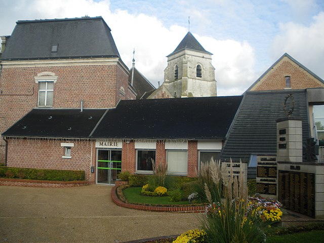
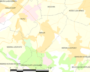
Barlin
- commune in Pas-de-Calais, France
- Country:
- Postal Code: 62620
- Coordinates: 50° 27' 19" N, 2° 37' 7" E
- GPS tracks (wikiloc): [Link]
- Area: 6.18 sq km
- Population: 7738
- Web site: [Link]

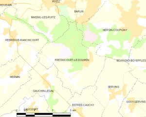
Fresnicourt-le-Dolmen
- commune in Pas-de-Calais, France
- Country:
- Postal Code: 62150
- Coordinates: 50° 25' 5" N, 2° 35' 59" E
- GPS tracks (wikiloc): [Link]
- Area: 7.95 sq km
- Population: 758


Sains-en-Gohelle
- commune in Pas-de-Calais, France
- Country:
- Postal Code: 62114
- Coordinates: 50° 26' 41" N, 2° 41' 1" E
- GPS tracks (wikiloc): [Link]
- Area: 5.71 sq km
- Population: 6280
- Web site: [Link]