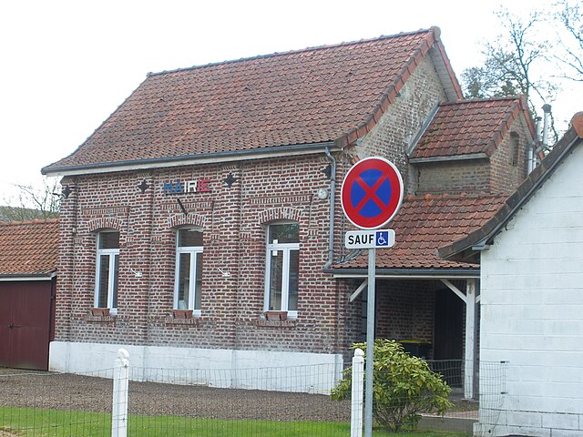
Humbercourt (Humbercourt)

- commune in Somme, France
- Country:

- Postal Code: 80600
- Coordinates: 50° 12' 37" N, 2° 27' 14" E


- GPS tracks (wikiloc): [Link]
- Area: 8.25 sq km
- Population: 264
- Wikipedia en: wiki(en)
- Wikipedia: wiki(fr)
- Wikidata storage: Wikidata: Q676762
- Wikipedia Commons Category: [Link]
- Freebase ID: [/m/03qhxgg]
- GeoNames ID: Alt: [6444544]
- SIREN number: [218004265]
- BnF ID: [15276925x]
- INSEE municipality code: 80445
Shares border with regions:

Sus-Saint-Léger
- commune in Pas-de-Calais, France
- Country:
- Postal Code: 62810
- Coordinates: 50° 14' 14" N, 2° 25' 47" E
- GPS tracks (wikiloc): [Link]
- Area: 7.31 sq km
- Population: 369

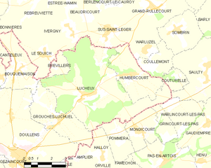
Lucheux
- commune in Somme, France
- Country:
- Postal Code: 80600
- Coordinates: 50° 11' 48" N, 2° 24' 37" E
- GPS tracks (wikiloc): [Link]
- Area: 27.65 sq km
- Population: 545


Warluzel
- commune in Pas-de-Calais, France
- Country:
- Postal Code: 62810
- Coordinates: 50° 13' 39" N, 2° 28' 11" E
- GPS tracks (wikiloc): [Link]
- Area: 4.02 sq km
- Population: 233

Couturelle
- commune in Pas-de-Calais, France
- Country:
- Postal Code: 62158
- Coordinates: 50° 12' 31" N, 2° 30' 0" E
- GPS tracks (wikiloc): [Link]
- Area: 2.1 sq km
- Population: 70


Coullemont
- commune in Pas-de-Calais, France
- Country:
- Postal Code: 62158
- Coordinates: 50° 12' 56" N, 2° 28' 27" E
- GPS tracks (wikiloc): [Link]
- Area: 4.04 sq km
- Population: 109