Ilheu (Ilheu)

- commune in Hautes-Pyrénées, France
- Country:

- Postal Code: 65370
- Coordinates: 42° 59' 49" N, 0° 35' 44" E


- GPS tracks (wikiloc): [Link]
- Area: 2.01 sq km
- Population: 40
- Wikipedia en: wiki(en)
- Wikipedia: wiki(fr)
- Wikidata storage: Wikidata: Q1326217
- Wikipedia Commons Category: [Link]
- Freebase ID: [/m/03nv49f]
- Freebase ID: [/m/03nv49f]
- GeoNames ID: Alt: [6612736]
- GeoNames ID: Alt: [6612736]
- SIREN number: [216502294]
- SIREN number: [216502294]
- BnF ID: [15270609d]
- BnF ID: [15270609d]
- INSEE municipality code: 65229
- INSEE municipality code: 65229
Shares border with regions:
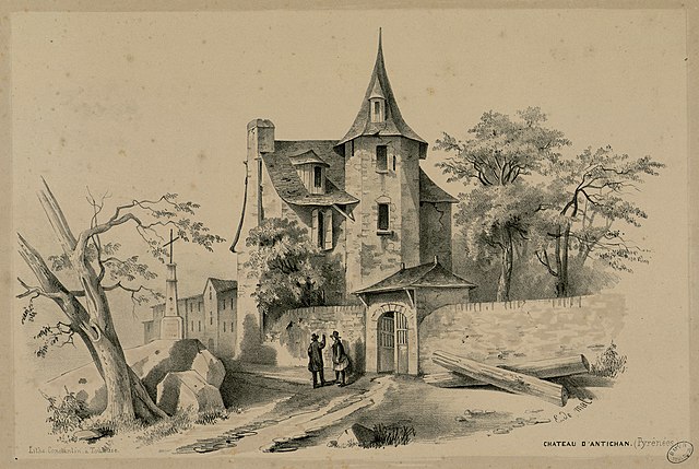

Antichan
- commune in Hautes-Pyrénées, France
- Country:
- Postal Code: 65370
- Coordinates: 42° 59' 41" N, 0° 34' 56" E
- GPS tracks (wikiloc): [Link]
- Area: 1.19 sq km
- Population: 33


Bertren
- commune in Hautes-Pyrénées, France
- Country:
- Postal Code: 65370
- Coordinates: 43° 0' 1" N, 0° 37' 5" E
- GPS tracks (wikiloc): [Link]
- Area: 2.66 sq km
- Population: 192

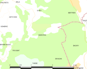
Samuran
- commune in Hautes-Pyrénées, France
- Country:
- Postal Code: 65370
- Coordinates: 42° 59' 14" N, 0° 35' 40" E
- GPS tracks (wikiloc): [Link]
- Area: 2.55 sq km
- Population: 27


Anla
- commune in Hautes-Pyrénées, France
- Country:
- Postal Code: 65370
- Coordinates: 43° 0' 10" N, 0° 34' 55" E
- GPS tracks (wikiloc): [Link]
- Area: 2.85 sq km
- Population: 102