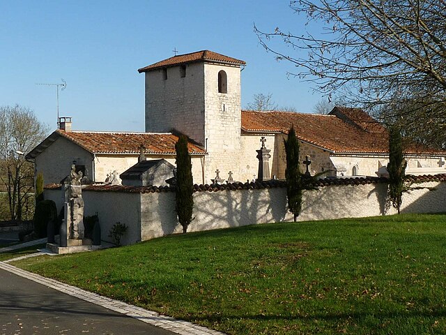
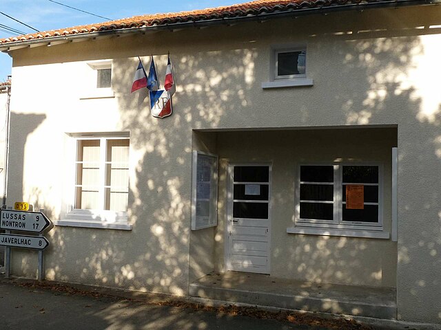
Javerlhac-et-la-Chapelle-Saint-Robert (Javerlhac-et-la-Chapelle-Saint-Robert)

- commune in Dordogne, France
- Country:

- Postal Code: 24300
- Coordinates: 45° 34' 11" N, 0° 33' 38" E


- GPS tracks (wikiloc): [Link]
- AboveSeaLevel: 128 м m
- Area: 29.25 sq km
- Population: 858
- Web site: http://www.javerlhac-et-la-chapelle-saint-robert.fr/
- Wikipedia en: wiki(en)
- Wikipedia: wiki(fr)
- Wikidata storage: Wikidata: Q191308
- Wikipedia Commons Category: [Link]
- Freebase ID: [/m/0276h1n]
- Freebase ID: [/m/0276h1n]
- GeoNames ID: Alt: [3012396]
- GeoNames ID: Alt: [3012396]
- SIREN number: [212402143]
- SIREN number: [212402143]
- BnF ID: [15251861w]
- BnF ID: [15251861w]
- INSEE municipality code: 24214
- INSEE municipality code: 24214
Shares border with regions:
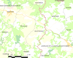
Souffrignac
- commune in Charente, France
- Country:
- Postal Code: 16380
- Coordinates: 45° 35' 33" N, 0° 30' 16" E
- GPS tracks (wikiloc): [Link]
- Area: 9.37 sq km
- Population: 141
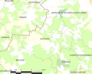
Hautefaye
- commune in Dordogne, France
- Country:
- Postal Code: 24300
- Coordinates: 45° 32' 13" N, 0° 29' 36" E
- GPS tracks (wikiloc): [Link]
- Area: 12.47 sq km
- Population: 130


Mainzac
- commune in Charente, France
- Country:
- Postal Code: 16380
- Coordinates: 45° 33' 7" N, 0° 29' 8" E
- GPS tracks (wikiloc): [Link]
- Area: 11.29 sq km
- Population: 98
- Web site: [Link]

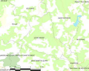
Le Bourdeix
- commune in Dordogne, France
- Country:
- Postal Code: 24300
- Coordinates: 45° 35' 18" N, 0° 37' 55" E
- GPS tracks (wikiloc): [Link]
- Area: 11.69 sq km
- Population: 234


Lussas-et-Nontronneau
- commune in Dordogne, France
- Country:
- Postal Code: 24300
- Coordinates: 45° 30' 19" N, 0° 35' 1" E
- GPS tracks (wikiloc): [Link]
- Area: 22.35 sq km
- Population: 312