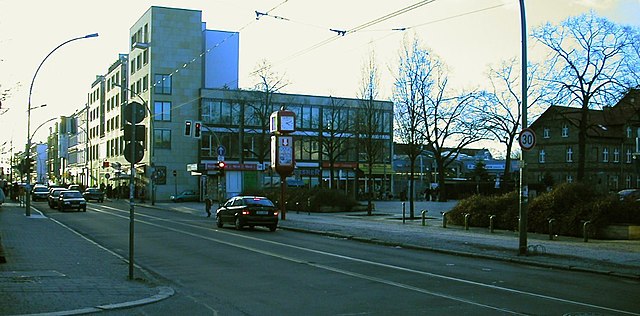
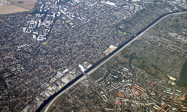
Johannisthal (Johannisthal)

- locality of Berlin
 Hiking in Johannisthal
Johannisthal is a district in Berlin that is primarily known for its residential areas and proximity to green spaces rather than hiking trails. However, you can still enjoy outdoor activities and lighter hiking options in and around the area.
Natural Attractions:
-
Waldpark Johannisthal: This is a nearby park where you can enjoy leisurely walks and nature trails. The park features green spaces, wooded areas, and small paths suitable for walking or light hiking.
-
Dahlemer Feld: Located a bit to the southwest, this is a larger area with more extensive trails. It's a good spot for a longer walk or a hike through natural landscapes.
-
Tempelhofer Feld: While not a hiking destination in the traditional sense, this former airport turned public park is a vast open space perfect for walking, jogging, cycling, and picnicking.
Nearby Hiking Areas:
For more serious hiking opportunities, you might want to venture a bit outside of Johannisthal:
-
Grunewald Forest: Located to the west of Berlin, this large forest area features numerous hiking trails with varying difficulties. The scenic landscape, including the famous Teufelsberg and views of Lake Wannsee, makes it a great destination for a day hike.
-
Südhirschgarten: A bit further out, this neighborhood is surrounded by various forested areas and trails that are ideal for hiking and more immersive nature experiences.
-
Schwarzer Weg: Connects several parks and nature areas; this route can give you a more adventurous hiking experience.
Tips for Hiking:
- Footwear: Make sure to wear sturdy hiking shoes that provide good support.
- Local Regulations: Respect nature and follow local guidelines to preserve the environment.
- Weather: Always check the weather before heading out and dress appropriately.
- Hydration & Snacks: Carry enough water and snacks, especially if you venture into larger wilderness areas.
While Johannisthal itself may not be a hiking hotspot, its proximity to Berlin’s natural spaces allows for enjoyable outdoor activities. If you’re looking for a day trip or a longer hike, consider exploring the surrounding parks and forests!
- Country:

- Coordinates: 52° 26' 36" N, 13° 30' 8" E


- GPS tracks (wikiloc): [Link]
- AboveSeaLevel: 37 м m
- Area: 6.54 sq km
- Wikipedia en: wiki(en)
- Wikipedia: wiki(de)
- Wikidata storage: Wikidata: Q655012
- Wikipedia Commons Gallery: [Link]
- Wikipedia Commons Category: [Link]
- Wikipedia Commons Maps Category: [Link]
- Freebase ID: [/m/0bs5yp8]
- GeoNames ID: Alt: [2894755]
- VIAF ID: Alt: [242553497]
- OSM relation ID: [55758]
- GND ID: Alt: [4087320-1]
- archINFORM location ID: [43437]
- Quora topic ID: [Johannisthal]
Shares border with regions:

Adlershof
- locality of Berlin, Germany
Hiking in Adlershof
Adlershof is a neighborhood in Berlin, Germany, primarily known for its historical significance and technological developments. While it may not be renowned for hiking in the traditional sense, there are several opportunities for outdoor activities and exploring nature in nearby areas....
- Country:
- Coordinates: 52° 26' 16" N, 13° 32' 51" E
- GPS tracks (wikiloc): [Link]
- AboveSeaLevel: 37 м m
- Area: 6.11 sq km
- Population: 15294
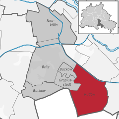
Rudow
- locality of Berlin
Hiking in Rudow
Rudow is a district in the borough of Neukölln in Berlin, Germany. Although it is primarily an urban area and not known for traditional hiking, there are opportunities for walks and exploring nature in and around the district. Here are some options and tips for hiking or walking in and around Rudow:...
- Country:
- Postal Code: 12357; 12355; 12353
- Coordinates: 52° 25' 0" N, 13° 30' 0" E
- GPS tracks (wikiloc): [Link]
- AboveSeaLevel: 38 м m
- Area: 11.8 sq km
- Population: 41618


Altglienicke
- locality of Berlin
Hiking in Altglienicke
Altglienicke is a district located in the southeastern part of Berlin, Germany. While it's primarily urban and residential, there are still some opportunities for hiking enthusiasts to enjoy nature nearby. Here are some aspects to consider if you're planning to hike in or around Altglienicke:...
- Country:
- Coordinates: 52° 25' 0" N, 13° 32' 0" E
- GPS tracks (wikiloc): [Link]
- AboveSeaLevel: 34 м m
- Area: 7.89 sq km
- Population: 26426


Niederschöneweide
- locality of Berlin
Hiking in Niederschöneweide
Niederschöneweide is a district in the southern part of Berlin, Germany, located along the banks of the River Spree. While it may not be as widely recognized as a traditional hiking destination compared to other more nature-centric areas, it offers some unique opportunities for outdoor activities and exploration....
- Country:
- Coordinates: 52° 27' 22" N, 13° 30' 47" E
- GPS tracks (wikiloc): [Link]
- AboveSeaLevel: 36 м m
- Area: 3.49 sq km
- Population: 10446


Baumschulenweg
- locality of Berlin
Hiking in Baumschulenweg
Baumschulenweg is a neighborhood located in the Treptow-Köpenick district of Berlin, Germany. While it may not be well-known as a traditional hiking destination, there are several outdoor opportunities in and around the area for those looking to enjoy nature and scenic walks....
- Country:
- Coordinates: 52° 27' 54" N, 13° 29' 10" E
- GPS tracks (wikiloc): [Link]
- AboveSeaLevel: 37 м m
- Area: 4.82 sq km
- Population: 17186