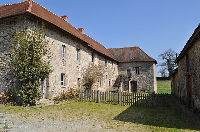
Jouac (Jouac)

- commune in Haute-Vienne, France
- Country:

- Postal Code: 87890
- Coordinates: 46° 21' 15" N, 1° 15' 40" E


- GPS tracks (wikiloc): [Link]
- Area: 20.31 sq km
- Population: 190
- Wikipedia en: wiki(en)
- Wikipedia: wiki(fr)
- Wikidata storage: Wikidata: Q194086
- Wikipedia Commons Category: [Link]
- Freebase ID: [/m/03nv0l3]
- GeoNames ID: Alt: [3012246]
- SIREN number: [218708006]
- BnF ID: [15278803t]
- VIAF ID: Alt: [237462544]
- INSEE municipality code: 87080
Shares border with regions:

Cromac
- commune in Haute-Vienne, France
- Country:
- Postal Code: 87160
- Coordinates: 46° 20' 32" N, 1° 18' 0" E
- GPS tracks (wikiloc): [Link]
- Area: 24.15 sq km
- Population: 255


Beaulieu
- commune in Indre, France
- Country:
- Postal Code: 36310
- Coordinates: 46° 23' 12" N, 1° 18' 26" E
- GPS tracks (wikiloc): [Link]
- Area: 7.48 sq km
- Population: 62


Bonneuil
- commune in Indre, France
- Country:
- Postal Code: 36310
- Coordinates: 46° 22' 27" N, 1° 13' 34" E
- GPS tracks (wikiloc): [Link]
- Area: 11.41 sq km
- Population: 89


Saint-Martin-le-Mault
- commune in Haute-Vienne, France
- Country:
- Postal Code: 87360
- Coordinates: 46° 21' 49" N, 1° 13' 8" E
- GPS tracks (wikiloc): [Link]
- Area: 12.5 sq km
- Population: 124

Saint-Léger-Magnazeix
- commune in Haute-Vienne, France
- Country:
- Postal Code: 87190
- Coordinates: 46° 17' 15" N, 1° 14' 49" E
- GPS tracks (wikiloc): [Link]
- Area: 55.71 sq km
- Population: 492
- Web site: [Link]
Lussac-les-Églises
- commune in Haute-Vienne, France
- Country:
- Postal Code: 87360
- Coordinates: 46° 20' 44" N, 1° 10' 29" E
- GPS tracks (wikiloc): [Link]
- Area: 41.02 sq km
- Population: 524
- Web site: [Link]